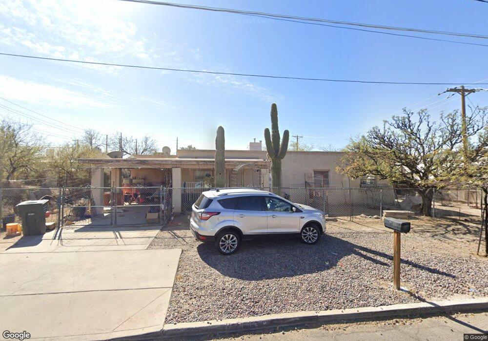
305 W University Blvd Tucson, AZ 85705
Dunbar/Spring NeighborhoodEstimated Value: $349,276 - $450,000
--
Bed
2
Baths
1,390
Sq Ft
$298/Sq Ft
Est. Value
About This Home
This home is located at 305 W University Blvd, Tucson, AZ 85705 and is currently estimated at $414,069, approximately $297 per square foot. 305 W University Blvd is a home located in Pima County with nearby schools including Davis Bilingual Magnet School, Tucson High Magnet School, and Mexicayotl Academy.
Ownership History
Date
Name
Owned For
Owner Type
Purchase Details
Closed on
Jul 23, 1996
Sold by
Msc Distributing Inc
Bought by
Carrillo Carmen L and Carrillo Margarita R
Current Estimated Value
Home Financials for this Owner
Home Financials are based on the most recent Mortgage that was taken out on this home.
Original Mortgage
$7,500
Interest Rate
8.39%
Mortgage Type
Seller Take Back
Purchase Details
Closed on
Aug 29, 1995
Sold by
Msc Distributing Inc
Bought by
Carrillo Juan B and Carrillo Margarita R
Create a Home Valuation Report for This Property
The Home Valuation Report is an in-depth analysis detailing your home's value as well as a comparison with similar homes in the area
Home Values in the Area
Average Home Value in this Area
Purchase History
| Date | Buyer | Sale Price | Title Company |
|---|---|---|---|
| Carrillo Carmen L | $10,000 | -- | |
| Carrillo Juan B | $11,000 | -- |
Source: Public Records
Mortgage History
| Date | Status | Borrower | Loan Amount |
|---|---|---|---|
| Previous Owner | Carrillo Carmen L | $7,500 |
Source: Public Records
Tax History Compared to Growth
Tax History
| Year | Tax Paid | Tax Assessment Tax Assessment Total Assessment is a certain percentage of the fair market value that is determined by local assessors to be the total taxable value of land and additions on the property. | Land | Improvement |
|---|---|---|---|---|
| 2025 | $2,234 | $23,898 | -- | -- |
| 2024 | $2,145 | $22,760 | -- | -- |
| 2023 | $2,010 | $21,676 | $0 | $0 |
| 2022 | $2,010 | $20,644 | $0 | $0 |
| 2021 | $2,000 | $14,677 | $0 | $0 |
| 2020 | $1,904 | $18,724 | $0 | $0 |
| 2019 | $1,834 | $19,683 | $0 | $0 |
| 2018 | $1,734 | $16,175 | $0 | $0 |
| 2017 | $1,638 | $16,175 | $0 | $0 |
| 2016 | $2,208 | $16,243 | $0 | $0 |
| 2015 | $2,151 | $15,761 | $0 | $0 |
Source: Public Records
Map
Nearby Homes
- 710 & 712 N 11th Ave
- 659 N Anita Ave
- 513 W Oury St
- 225 W 1st St
- 134 W 5th St
- 1030 N 13th Ave
- 1036 N 13th Ave
- 1025 N Perry Ave
- 1029 N van Alstine St
- 110 E 4th St
- 1227 N 13th Ave
- 1034 N 7th Ave
- 231 N Ashbury Ln
- 207 E University Blvd
- 450 W Mabel St
- 215 E University Blvd
- 645 W Mabel St
- 819 N 5th Ave
- 245 E University Blvd
- 1008 W Saint Marys Rd
- 775 N 11th Ave
- 725 N 11th Ave
- 717 N 11th Ave
- 720 N Alder Ave
- 713 N 11th Ave
- 255 W University Blvd
- 714 N Alder Ave
- 740 N 11th Ave
- 711 N 11th Ave
- 722 N Main Ave
- 248 W University Blvd
- 231 W University Blvd
- 730 N 11th Ave
- 236 W University Blvd
- 310 W 4th St
- 728 N 11th Ave
- 710 & 712 NE 11th Ave
- 232 W University Blvd
- 221 W University Blvd
- 818 N 11th Ave