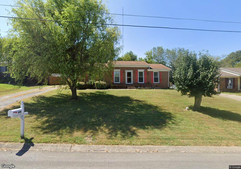
305 Westwind Dr Springfield, TN 37172
Estimated Value: $215,000 - $303,000
Studio
2
Baths
1,746
Sq Ft
$155/Sq Ft
Est. Value
About This Home
This home is located at 305 Westwind Dr, Springfield, TN 37172 and is currently estimated at $271,245, approximately $155 per square foot. 305 Westwind Dr is a home located in Robertson County with nearby schools including Coopertown Elementary School, Coopertown Middle School, and Springfield High School.
Ownership History
Date
Name
Owned For
Owner Type
Purchase Details
Closed on
Apr 9, 2002
Sold by
Opron Mary E
Bought by
Capshaw James T
Current Estimated Value
Home Financials for this Owner
Home Financials are based on the most recent Mortgage that was taken out on this home.
Original Mortgage
$89,320
Outstanding Balance
$36,489
Interest Rate
6.89%
Estimated Equity
$234,756
Purchase Details
Closed on
Oct 7, 1997
Sold by
Etal Lingerfelt Larry T
Bought by
Elizabeth Opron Mary
Home Financials for this Owner
Home Financials are based on the most recent Mortgage that was taken out on this home.
Original Mortgage
$77,960
Interest Rate
7.55%
Purchase Details
Closed on
Dec 11, 1993
Bought by
Lingerfelt Larry T and Dille Kara M
Create a Home Valuation Report for This Property
The Home Valuation Report is an in-depth analysis detailing your home's value as well as a comparison with similar homes in the area
Home Values in the Area
Average Home Value in this Area
Purchase History
| Date | Buyer | Sale Price | Title Company |
|---|---|---|---|
| Capshaw James T | $90,750 | -- | |
| Elizabeth Opron Mary | $78,000 | -- | |
| Lingerfelt Larry T | $20,000 | -- |
Source: Public Records
Mortgage History
| Date | Status | Borrower | Loan Amount |
|---|---|---|---|
| Open | Lingerfelt Larry T | $89,320 | |
| Previous Owner | Lingerfelt Larry T | $77,960 |
Source: Public Records
Tax History
| Year | Tax Paid | Tax Assessment Tax Assessment Total Assessment is a certain percentage of the fair market value that is determined by local assessors to be the total taxable value of land and additions on the property. | Land | Improvement |
|---|---|---|---|---|
| 2025 | -- | $49,900 | $13,750 | $36,150 |
| 2024 | -- | $49,900 | $13,750 | $36,150 |
| 2023 | $1,250 | $49,900 | $13,750 | $36,150 |
| 2022 | $1,249 | $34,225 | $6,200 | $28,025 |
| 2021 | $1,249 | $34,225 | $6,200 | $28,025 |
| 2020 | $1,249 | $34,225 | $6,200 | $28,025 |
| 2019 | $37,582 | $34,225 | $6,200 | $28,025 |
| 2018 | $1,249 | $34,225 | $6,200 | $28,025 |
| 2017 | $1,092 | $25,475 | $5,250 | $20,225 |
| 2016 | $1,092 | $25,475 | $5,250 | $20,225 |
| 2015 | $1,060 | $25,475 | $5,250 | $20,225 |
| 2014 | $1,060 | $25,475 | $5,250 | $20,225 |
Source: Public Records
Map
Nearby Homes
- 5148 Highway 49 W
- 7373 New Chapel Rd
- 2060 Beverly Ct
- 2086 Beverly Ct
- 588 19th Ave W
- 213 21st Ave W
- 2067 Bessie St
- 2083 Bessie St
- 2130 Bessie St
- 1 Bessie St
- 0 Bessie St
- 1421 Lawrence Ln
- 244 Green Hills Dr
- 1511 Cheatham St
- 301 E 22nd Ave
- 155 Julia Ann Ct
- 126 Julia Ann Ct
- 113 11th Ave W
- 1205 S Main St
- 1309 Batts Blvd
- 307 Westwind Dr
- 303 Westwind Dr
- 309 Westwind Dr
- 301 Westwind Dr
- 302 Westwind Dr
- 300 Westwind Dr
- 304 Westwind Dr
- 213 Westwind Dr
- 311 Westwind Dr
- 306 Westwind Dr
- 100 Rw Gordon Dr
- 103 Teresa Ln
- 103 Rw Gordon Dr
- 313 Westwind Dr
- 100 R W Gordon Dr
- 105 Teresa Ln
- 201 Valley Dr
- 308 Westwind Dr
- 109 Valley Dr
- 102 Rw Gordon Dr
Your Personal Tour Guide
Ask me questions while you tour the home.