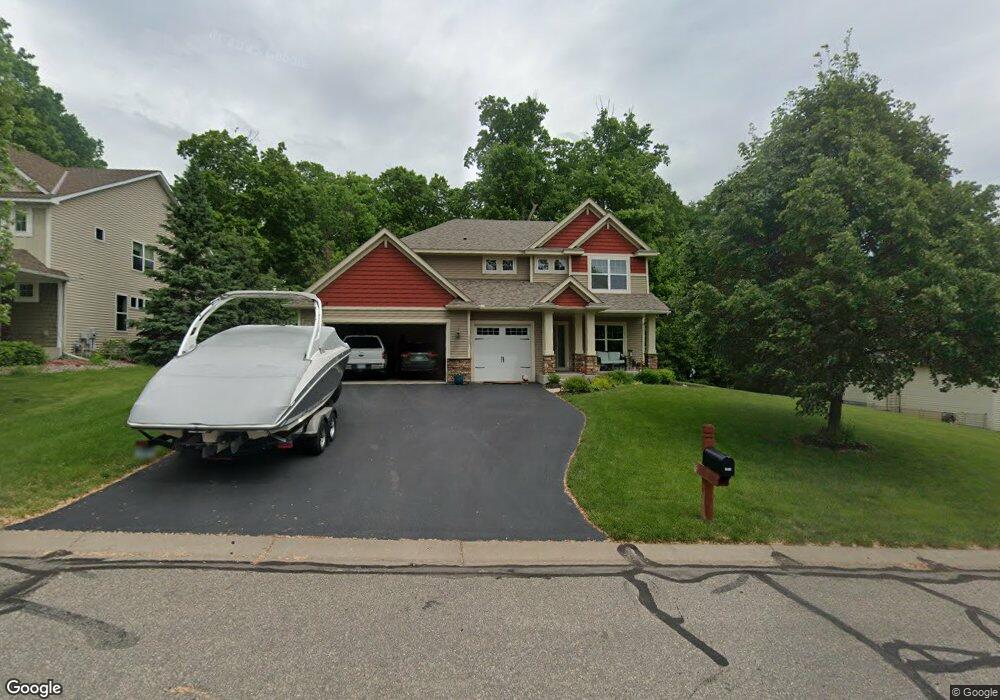
3051 Shadow Ridge Dr Rockford, MN 55373
Estimated Value: $475,323 - $541,000
4
Beds
3
Baths
2,486
Sq Ft
$205/Sq Ft
Est. Value
About This Home
This home is located at 3051 Shadow Ridge Dr, Rockford, MN 55373 and is currently estimated at $509,581, approximately $204 per square foot. 3051 Shadow Ridge Dr is a home located in Wright County with nearby schools including Rockford Elementary Arts Magnet School, Rockford Middle School - Center for Environmental Studies, and Rockford High School.
Ownership History
Date
Name
Owned For
Owner Type
Purchase Details
Closed on
Jul 14, 2017
Sold by
Miller Jeffrey A and Miller Michelle M
Bought by
Armstrong Christopher J
Current Estimated Value
Purchase Details
Closed on
Aug 23, 2010
Sold by
Us Home Corporation
Bought by
Miller Jeffrey A and Miller Michelle M
Purchase Details
Closed on
Jan 17, 2006
Sold by
Davel A Fau Development Corp
Bought by
Us Home Corp
Create a Home Valuation Report for This Property
The Home Valuation Report is an in-depth analysis detailing your home's value as well as a comparison with similar homes in the area
Home Values in the Area
Average Home Value in this Area
Purchase History
| Date | Buyer | Sale Price | Title Company |
|---|---|---|---|
| Armstrong Christopher J | $323,252 | Title Choice Llc | |
| Miller Jeffrey A | $289,900 | -- | |
| Us Home Corp | $625,000 | -- |
Source: Public Records
Tax History Compared to Growth
Tax History
| Year | Tax Paid | Tax Assessment Tax Assessment Total Assessment is a certain percentage of the fair market value that is determined by local assessors to be the total taxable value of land and additions on the property. | Land | Improvement |
|---|---|---|---|---|
| 2025 | $4,924 | $432,100 | $75,000 | $357,100 |
| 2024 | $5,080 | $429,500 | $75,000 | $354,500 |
| 2023 | $5,072 | $450,300 | $75,000 | $375,300 |
| 2022 | $4,740 | $402,000 | $75,000 | $327,000 |
| 2021 | $4,800 | $338,200 | $50,000 | $288,200 |
| 2020 | $4,960 | $335,200 | $50,000 | $285,200 |
| 2019 | $5,204 | $325,800 | $0 | $0 |
| 2018 | $4,896 | $321,600 | $0 | $0 |
| 2017 | $4,626 | $325,200 | $0 | $0 |
| 2016 | $4,442 | $0 | $0 | $0 |
| 2015 | $4,386 | $0 | $0 | $0 |
| 2014 | -- | $0 | $0 | $0 |
Source: Public Records
Map
Nearby Homes
- 4040 Maple Hurst Dr S
- 4090 Maple Hurst Dr S
- 4231 Maple Hurst Dr N
- 6761 Maple Dr
- 7021 Meadow Ct
- 6630 Maple Dr
- XXX Jansen Ave SE
- 8130 Ravenrock Rd
- 8041 Prairie Trail
- 7040 Winfield Rd
- 6101 Boulder Ridge Dr
- 3439 Hall Ave SE
- 8833 Walnut Place
- 8530 Fir St
- 8098 26th St SE
- 8800 86th Ave N
- 5523 Basswood Cir
- 8907 Foust Ln
- 5311 Greenwood Ln
- 7175 Sterling Dr
- 3051 3051 Shadow Ridge-Drive-
- 3051 3051 Shadow Ridge Dr
- 3061 Shadow Ridge Dr
- 3061 3061 Shadow Ridge Dr
- 3041 Shadow Ridge Dr
- 3041 3041 Shadow Ridge
- xxx Balsam Ln
- 4030 Maple Hurst Dr S
- 4030 4030 Maple Hurst-Drive-s
- 3071 Shadow Ridge Dr
- 3071 3071 Shadow Ridge Dr
- 3031 Shadow Ridge Dr
- 3031 3031 Shadow Ridge
- 4020 Maple Hurst Dr S
- 4050 Maple Hurst Dr S
- 4050 4050 Maple Hurst Dr S
- 3040 Shadow Ridge Dr
- 3050 Shadow Ridge Dr
- 3050 3050 Shadow Ridge Dr
- 4250 Maple Hurst Dr S