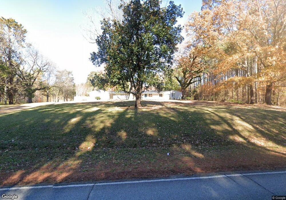
3057 Old West Point Rd Starkville, MS 39759
Estimated Value: $214,008 - $528,000
--
Bed
1
Bath
2,649
Sq Ft
$132/Sq Ft
Est. Value
About This Home
This home is located at 3057 Old West Point Rd, Starkville, MS 39759 and is currently estimated at $350,252, approximately $132 per square foot. 3057 Old West Point Rd is a home with nearby schools including Sudduth Elementary School, Overstreet Elementary School, and Henderson/Ward-Stewart Elementary School.
Ownership History
Date
Name
Owned For
Owner Type
Purchase Details
Closed on
Feb 4, 2022
Sold by
Sullivan Preston and Sullivan Sally
Bought by
Sullivan Preston and Sullivan Sally Sally
Current Estimated Value
Home Financials for this Owner
Home Financials are based on the most recent Mortgage that was taken out on this home.
Original Mortgage
$329,600
Outstanding Balance
$306,827
Interest Rate
3.76%
Mortgage Type
Construction
Estimated Equity
$43,425
Purchase Details
Closed on
Oct 31, 2007
Bought by
Del Watts Richie
Create a Home Valuation Report for This Property
The Home Valuation Report is an in-depth analysis detailing your home's value as well as a comparison with similar homes in the area
Home Values in the Area
Average Home Value in this Area
Purchase History
| Date | Buyer | Sale Price | Title Company |
|---|---|---|---|
| Sullivan Preston | $323,008 | Attorney Only | |
| Del Watts Richie | $115,000 | -- |
Source: Public Records
Mortgage History
| Date | Status | Borrower | Loan Amount |
|---|---|---|---|
| Open | Sullivan Preston | $329,600 |
Source: Public Records
Tax History Compared to Growth
Tax History
| Year | Tax Paid | Tax Assessment Tax Assessment Total Assessment is a certain percentage of the fair market value that is determined by local assessors to be the total taxable value of land and additions on the property. | Land | Improvement |
|---|---|---|---|---|
| 2024 | $2,000 | $16,046 | $0 | $0 |
| 2023 | $2,000 | $16,046 | $0 | $0 |
| 2022 | $1,033 | $10,697 | $0 | $0 |
| 2021 | $936 | $9,921 | $0 | $0 |
| 2020 | $926 | $9,921 | $0 | $0 |
| 2019 | $1,839 | $14,882 | $0 | $0 |
| 2018 | $1,839 | $14,882 | $0 | $0 |
| 2017 | $1,724 | $14,163 | $0 | $0 |
| 2016 | $1,724 | $14,163 | $0 | $0 |
| 2015 | $1,685 | $14,163 | $0 | $0 |
| 2014 | $1,585 | $14,163 | $0 | $0 |
| 2013 | -- | $11,430 | $0 | $0 |
Source: Public Records
Map
Nearby Homes
- 0 Valleyhill Cir
- 2656 Old West Point Rd
- 0 Ridgeland Dr
- 109 Copperfield Ct
- 0 5 0 Acres Highway 12 E
- 0 Boyd Rd
- 120 Rose Perkins Evans Dr
- 42 Lucille Ln
- 540 Steele Rd
- 0 Old West Point Rd
- 28 Firefly Ln
- 607 Old West Point Rd
- 715 Roundhouse Rd
- 104 Tanglewood Dr
- 188 Ridgeway Dr
- 137 Lauras Cove
- 234 Lauras Cove
- 0 Ruth Rd
- 204 Edgewood Dr
- 121 Edgewood Dr
- 3034 Old West Point Rd
- 91 Valley Hills Cir
- 2879 Old West Point Rd
- 3237 Old West Point Rd
- 3234 Old West Point Rd
- 2813 Old West Point Rd
- 2804 Old West Point Rd
- 240 Valley Hills Cir
- 62 Ridgeland Dr
- 258 Timber Creek Rd
- 2924 Old West Point Rd
- 259 Timber Creek Rd
- 465 Valley Hills Cir
- 2728 Old West Point Rd
- 100 Ridgeland Dr
- 352 Valley Hills Cir
- 515 Valley Hills Cir
- 290 Timber Creek Rd
- 3308 Old West Point Rd
- 190 Ridgeland Dr