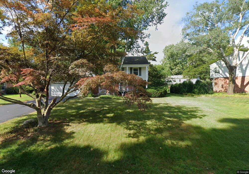
30571 Georgetown Dr Unit Bldg-Unit Beverly Hills, MI 48025
Estimated Value: $544,000 - $649,000
4
Beds
3
Baths
2,227
Sq Ft
$260/Sq Ft
Est. Value
About This Home
This home is located at 30571 Georgetown Dr Unit Bldg-Unit, Beverly Hills, MI 48025 and is currently estimated at $578,714, approximately $259 per square foot. 30571 Georgetown Dr Unit Bldg-Unit is a home located in Oakland County with nearby schools including Bingham Farms Elementary School, Wylie E. Groves High School, and Berkshire Middle School.
Ownership History
Date
Name
Owned For
Owner Type
Purchase Details
Closed on
Jun 28, 2021
Sold by
Barratt Zachariah M
Bought by
Ball Kermit E
Current Estimated Value
Home Financials for this Owner
Home Financials are based on the most recent Mortgage that was taken out on this home.
Original Mortgage
$306,000
Outstanding Balance
$277,648
Interest Rate
2.9%
Mortgage Type
New Conventional
Estimated Equity
$301,066
Purchase Details
Closed on
Jan 31, 2013
Sold by
Matte Eleanor S and Matte Jeffrey S
Bought by
Barratt Zachariah M
Home Financials for this Owner
Home Financials are based on the most recent Mortgage that was taken out on this home.
Original Mortgage
$211,650
Interest Rate
3.32%
Mortgage Type
New Conventional
Create a Home Valuation Report for This Property
The Home Valuation Report is an in-depth analysis detailing your home's value as well as a comparison with similar homes in the area
Home Values in the Area
Average Home Value in this Area
Purchase History
| Date | Buyer | Sale Price | Title Company |
|---|---|---|---|
| Ball Kermit E | $382,500 | Interstate Title | |
| Barratt Zachariah M | $282,200 | Devon Title Agency |
Source: Public Records
Mortgage History
| Date | Status | Borrower | Loan Amount |
|---|---|---|---|
| Open | Ball Kermit E | $306,000 | |
| Previous Owner | Barratt Zachariah M | $211,650 |
Source: Public Records
Tax History Compared to Growth
Tax History
| Year | Tax Paid | Tax Assessment Tax Assessment Total Assessment is a certain percentage of the fair market value that is determined by local assessors to be the total taxable value of land and additions on the property. | Land | Improvement |
|---|---|---|---|---|
| 2024 | $7,261 | $225,530 | $0 | $0 |
| 2023 | $6,967 | $206,460 | $0 | $0 |
| 2022 | $7,557 | $191,310 | $0 | $0 |
| 2021 | $7,068 | $186,760 | $0 | $0 |
| 2020 | $6,001 | $180,730 | $0 | $0 |
| 2019 | $5,682 | $176,770 | $0 | $0 |
| 2018 | $7,372 | $162,010 | $0 | $0 |
| 2017 | $7,248 | $162,010 | $0 | $0 |
| 2016 | $7,225 | $155,670 | $0 | $0 |
| 2015 | -- | $144,420 | $0 | $0 |
| 2014 | -- | $135,720 | $0 | $0 |
| 2011 | -- | $106,050 | $0 | $0 |
Source: Public Records
Map
Nearby Homes
- 30372 Georgetown Dr
- 000 Beverly Rd
- 31307 Sleepy Hollow Ln
- 22601 Highbank Dr
- 30435 Oakview Way
- 21993 Riverview Dr
- 29775 Bristol Ln
- 21700 W 13 Mile Rd
- 31430 Lahser Rd
- 0000 Woodlynne Dr
- 0000 Farmbrook Rd
- 24066 Bingham Pointe Dr Unit 11
- 30030 Wildbrook Dr Unit 102
- 22025 Orchard Way
- 29140 Briarbank Ct
- 32175 Spruce Ln
- 31011 Pioneer Ave
- 32326 Spruce Ln Unit 31
- 30526 Birchway Dr
- 30476 Birchway Dr
- 30571 Georgetown Dr
- 30557 Georgetown Dr
- 30603 Pebblestone Ct
- 30619 Pebblestone Ct
- 22868 Shagbark Dr
- 30537 Georgetown Dr
- 30564 Georgetown Dr
- 30578 Georgetown Dr
- 22854 Shagbark Dr
- 22864 Shagbark Dr
- 30637 Pebblestone Ct
- 30550 Georgetown Dr
- 30706 Georgetown Dr
- 22830 Shagbark Dr
- 30717 Georgetown Dr
- 30655 Pebblestone Ct
- 30511 Georgetown Dr
- 30536 Georgetown Dr
- 22880 Shagbark Dr
- 30627 Banbury Ct