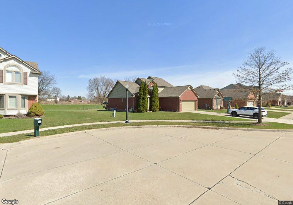
3059 Brysons Cove Dr Warren, MI 48092
Northwest Warren NeighborhoodEstimated Value: $255,000 - $398,000
3
Beds
3
Baths
1,869
Sq Ft
$182/Sq Ft
Est. Value
About This Home
This home is located at 3059 Brysons Cove Dr, Warren, MI 48092 and is currently estimated at $341,089, approximately $182 per square foot. 3059 Brysons Cove Dr is a home located in Macomb County with nearby schools including Lean Elementary School, Beer Middle School, and Warren Mott High School.
Ownership History
Date
Name
Owned For
Owner Type
Purchase Details
Closed on
May 27, 2011
Sold by
Daniv Daniv Sonia O Sonia O and Daniv Renaldi Sonia
Bought by
Renaldi Sonia Daniv
Current Estimated Value
Home Financials for this Owner
Home Financials are based on the most recent Mortgage that was taken out on this home.
Original Mortgage
$84,000
Interest Rate
4.56%
Mortgage Type
New Conventional
Purchase Details
Closed on
Apr 16, 2004
Sold by
Marlin James E
Bought by
Daniv Sonia O
Create a Home Valuation Report for This Property
The Home Valuation Report is an in-depth analysis detailing your home's value as well as a comparison with similar homes in the area
Home Values in the Area
Average Home Value in this Area
Purchase History
| Date | Buyer | Sale Price | Title Company |
|---|---|---|---|
| Renaldi Sonia Daniv | -- | Progressive Title | |
| Daniv Sonia O | $40,000 | Progressive Title Insurance |
Source: Public Records
Mortgage History
| Date | Status | Borrower | Loan Amount |
|---|---|---|---|
| Closed | Renaldi Sonia Daniv | $84,000 |
Source: Public Records
Tax History
| Year | Tax Paid | Tax Assessment Tax Assessment Total Assessment is a certain percentage of the fair market value that is determined by local assessors to be the total taxable value of land and additions on the property. | Land | Improvement |
|---|---|---|---|---|
| 2025 | $4,232 | $170,620 | $0 | $0 |
| 2024 | $41 | $154,090 | $0 | $0 |
| 2023 | $3,925 | $139,410 | $0 | $0 |
| 2022 | $3,793 | $128,460 | $0 | $0 |
| 2021 | $3,859 | $122,490 | $0 | $0 |
| 2020 | $3,721 | $122,280 | $0 | $0 |
| 2019 | $3,587 | $108,960 | $0 | $0 |
| 2018 | $0 | $92,120 | $0 | $0 |
| 2017 | $3,597 | $91,020 | $10,330 | $80,690 |
| 2016 | $3,593 | $91,020 | $0 | $0 |
| 2015 | -- | $85,130 | $0 | $0 |
| 2012 | -- | $69,290 | $0 | $0 |
Source: Public Records
Map
Nearby Homes
- 32246 Oakview Dr
- 32245 Wareham Dr
- 3651 Chicago Rd
- 32291 Ryan Rd
- 3047 Earl Dr
- 32960 Oakview Dr
- 32961 Wexford Dr
- 4125 Derray Ct Unit 7
- 3902 Marlene Dr
- 32955 Hawthorne Dr
- 2408 Otter St
- 31418 Reid Dr
- 30644 Gruenburg Dr
- 4580 Hampton Ct N
- 31227 Dequindre Rd
- 4519 Reader Dr
- 4812 Berwyn Dr
- 5575 E 14 Mile Rd
- 32930 Chalfonte Dr
- 33731 Newport Dr
- 3063 Brysons Cove Dr
- 3055 Brysons Cove Dr
- 3067 Brysons Cove Dr
- 3058 Brysons Cove Dr
- 3062 Brysons Cove Dr
- 3071 Brysons Cove Dr
- 3066 Brysons Cove Dr
- 3066 Brysons
- 3070 Brysons Cove Dr
- 3077 Brysons Cove Dr
- 3074 Brysons Cove Dr
- 3085 Brysons Cove Dr
- 3078 Brysons Cove Dr
- 3069 Chicago Rd
- 3061 Chicago Rd
- 3073 Chicago Rd
- 3089 Brysons Cove Dr
- 3086 Brysons Cove Dr
- 3003 Chicago Rd
- 3075 Chicago Rd
Your Personal Tour Guide
Ask me questions while you tour the home.