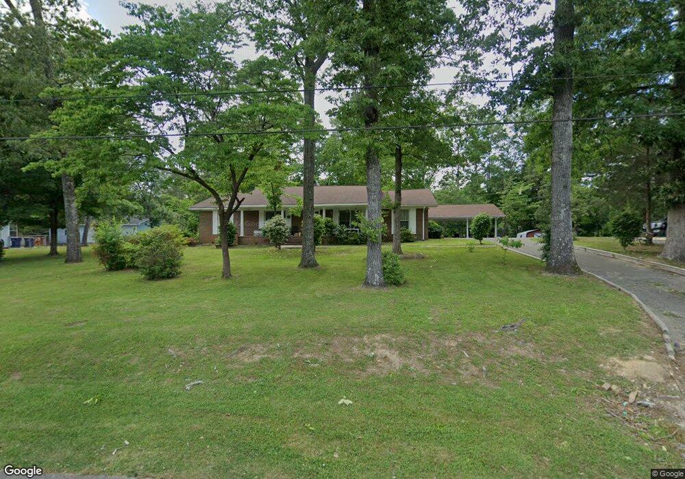
306 12th St SW Alabaster, AL 35007
Estimated Value: $277,000 - $335,148
3
Beds
2
Baths
2,779
Sq Ft
$108/Sq Ft
Est. Value
About This Home
This home is located at 306 12th St SW, Alabaster, AL 35007 and is currently estimated at $299,287, approximately $107 per square foot. 306 12th St SW is a home located in Shelby County with nearby schools including Thompson Intermediate School, Thompson Middle School, and Thompson High School.
Ownership History
Date
Name
Owned For
Owner Type
Purchase Details
Closed on
Jun 6, 2008
Sold by
Dew Robert C
Bought by
Sutton Robin Stratton
Current Estimated Value
Home Financials for this Owner
Home Financials are based on the most recent Mortgage that was taken out on this home.
Original Mortgage
$147,682
Outstanding Balance
$94,524
Interest Rate
6%
Mortgage Type
FHA
Estimated Equity
$204,763
Purchase Details
Closed on
Sep 12, 2000
Sold by
Weston Wm H and Weston Carol H
Bought by
Dew Robert C
Home Financials for this Owner
Home Financials are based on the most recent Mortgage that was taken out on this home.
Original Mortgage
$130,050
Interest Rate
7.93%
Create a Home Valuation Report for This Property
The Home Valuation Report is an in-depth analysis detailing your home's value as well as a comparison with similar homes in the area
Home Values in the Area
Average Home Value in this Area
Purchase History
| Date | Buyer | Sale Price | Title Company |
|---|---|---|---|
| Sutton Robin Stratton | $150,000 | None Available | |
| Dew Robert C | $136,900 | -- |
Source: Public Records
Mortgage History
| Date | Status | Borrower | Loan Amount |
|---|---|---|---|
| Open | Sutton Robin Stratton | $147,682 | |
| Previous Owner | Dew Robert C | $130,050 |
Source: Public Records
Tax History Compared to Growth
Tax History
| Year | Tax Paid | Tax Assessment Tax Assessment Total Assessment is a certain percentage of the fair market value that is determined by local assessors to be the total taxable value of land and additions on the property. | Land | Improvement |
|---|---|---|---|---|
| 2024 | $1,556 | $28,820 | $0 | $0 |
| 2023 | -- | $26,840 | $0 | $0 |
| 2022 | $0 | $24,760 | $0 | $0 |
| 2021 | $1,008 | $19,940 | $0 | $0 |
| 2020 | $1,008 | $0 | $0 | $0 |
| 2019 | $1,008 | $18,660 | $0 | $0 |
| 2017 | $838 | $15,520 | $0 | $0 |
| 2015 | $809 | $14,980 | $0 | $0 |
| 2014 | $791 | $14,640 | $0 | $0 |
Source: Public Records
Map
Nearby Homes
- 412 10th St SW
- 1216 1st Ave W
- 521 13th St SW Unit 521
- 95 9th St NW
- 1036 7th Ave SW
- 513 Bennett Dr
- 540 11th St NW
- 640 11th St NW
- 112 Kingsley Ct
- 1805 Mohawk Dr
- 109 Kingsley Cir
- 233 Norwick Forest Dr
- 280 Cedar Grove Pkwy Unit 34
- 220 Navajo Pines Dr
- 641 Olde Towne Ln
- 113 Palm Dr
- 1807 Apache Way
- 2014 1st Ave W
- 537 Ramsgate Dr
- 834 Burning Tree Trail
- 241 12th St SW
- 318 12th St SW
- 311 13th St SW
- 324 12th St SW
- 305 13th St SW
- 303 12th St SW
- 313 12th St SW
- 319 13th St SW
- 323 12th St SW
- 237 13th St SW
- 236 12th St SW
- 227 12th St SW
- 227 13th St SW
- 331 13th St SW
- 340 12th St SW
- 325 12th St SW
- 325 12th St SW
- 226 12th St SW
- 1307 3rd Ave SW
- 327 12th St SW