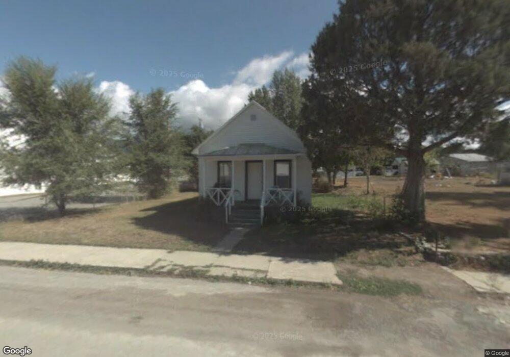
306 1st Ave W Eureka, MT 59917
Estimated Value: $214,986 - $253,000
2
Beds
1
Bath
888
Sq Ft
$266/Sq Ft
Est. Value
About This Home
This home is located at 306 1st Ave W, Eureka, MT 59917 and is currently estimated at $236,497, approximately $266 per square foot. 306 1st Ave W is a home located in Lincoln County with nearby schools including Eureka Elementary School, Eureka Middle School, and Lincoln County High School.
Ownership History
Date
Name
Owned For
Owner Type
Purchase Details
Closed on
Mar 20, 2019
Sold by
Yerian Ruth A
Bought by
Yerian Kristina M
Current Estimated Value
Purchase Details
Closed on
Sep 25, 2013
Sold by
Anderson Sarah Nicole
Bought by
Yerian Jack A and Yerian Ruth A
Purchase Details
Closed on
Nov 4, 2005
Sold by
Emp Llc
Bought by
Anderson Sarah Nicole
Purchase Details
Closed on
Sep 14, 2005
Sold by
Solvie Susan
Bought by
Emp Llc
Purchase Details
Closed on
Mar 14, 2005
Sold by
Castro Alfred J and Castro Charlotte R
Bought by
Solvie Susan
Home Financials for this Owner
Home Financials are based on the most recent Mortgage that was taken out on this home.
Original Mortgage
$32,500
Interest Rate
5.25%
Mortgage Type
Future Advance Clause Open End Mortgage
Create a Home Valuation Report for This Property
The Home Valuation Report is an in-depth analysis detailing your home's value as well as a comparison with similar homes in the area
Purchase History
| Date | Buyer | Sale Price | Title Company |
|---|---|---|---|
| Yerian Kristina M | -- | None Available | |
| Yerian Jack A | -- | First American Title Oc Of M | |
| Anderson Sarah Nicole | -- | First American Title Co | |
| Emp Llc | -- | First American Title Co Of M | |
| Solvie Susan | -- | First American Title Co Of M |
Source: Public Records
Mortgage History
| Date | Status | Borrower | Loan Amount |
|---|---|---|---|
| Previous Owner | Solvie Susan | $32,500 |
Source: Public Records
Tax History
| Year | Tax Paid | Tax Assessment Tax Assessment Total Assessment is a certain percentage of the fair market value that is determined by local assessors to be the total taxable value of land and additions on the property. | Land | Improvement |
|---|---|---|---|---|
| 2025 | $769 | $212,300 | $0 | $0 |
| 2024 | $1,049 | $166,000 | $0 | $0 |
| 2023 | $1,352 | $166,000 | $0 | $0 |
| 2022 | $730 | $92,200 | $0 | $0 |
| 2021 | $786 | $92,200 | $0 | $0 |
| 2020 | $902 | $84,400 | $0 | $0 |
| 2019 | $904 | $84,400 | $0 | $0 |
| 2018 | $313 | $76,500 | $0 | $0 |
| 2017 | $131 | $76,500 | $0 | $0 |
| 2016 | $305 | $72,400 | $0 | $0 |
| 2015 | $112 | $72,400 | $0 | $0 |
| 2014 | $652 | $43,032 | $0 | $0 |
Source: Public Records
Map
Nearby Homes
- 412 1st Ave E
- 506 1st Ave E Unit A,B,C
- 458 Eureka Heights Rd
- 450 6th St E
- 317 6th Ave E
- 4 Acres U S 93
- 575 9th St
- Nhn Tobacco Rd
- 1355 6th Ave E
- 1838 Mills Spring Rd
- 782 Othorp Lake Rd
- 148 Trail
- 270 Mill Springs Rd
- Nhn Othorp Lake Rd Unit Lot 9
- 762 Hillandale Trail
- 77 Elmhurst Way
- NHN Hwy 93 & 37
- 11 Vista View Dr
- 560 Riding High Dr
- NHN Hillandale
Your Personal Tour Guide
Ask me questions while you tour the home.