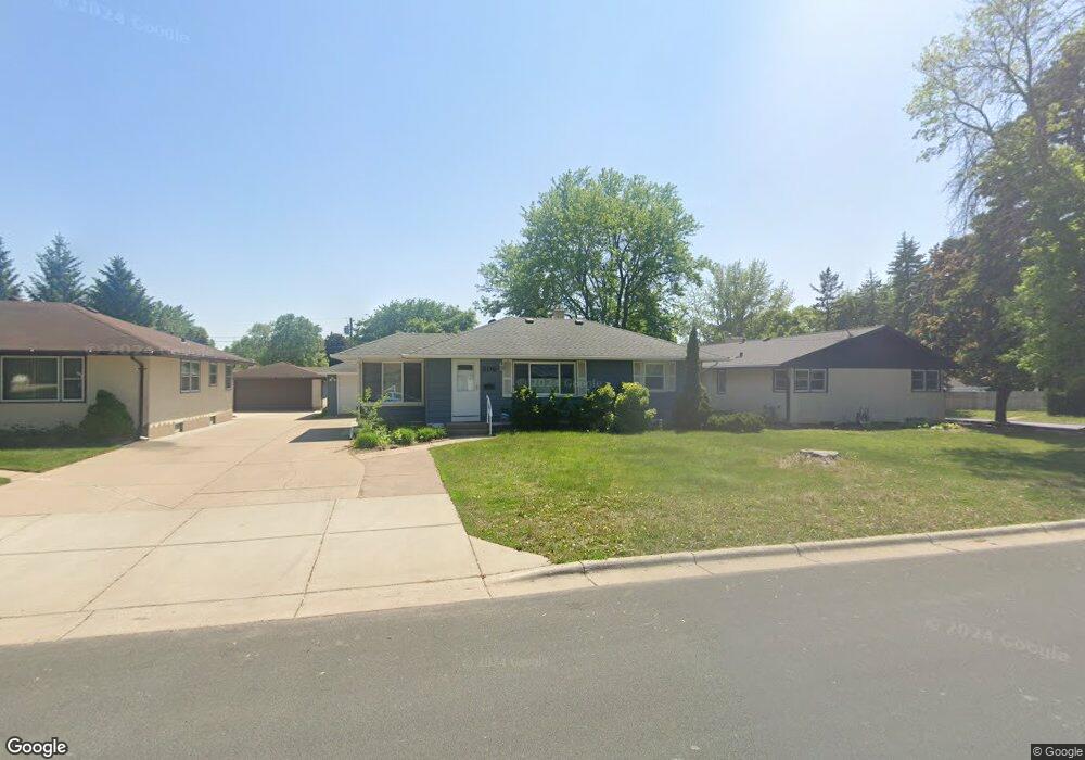
306 306 Edith Dr West St. Paul, MN 55118
Estimated Value: $321,663 - $360,000
3
Beds
2
Baths
888
Sq Ft
$384/Sq Ft
Est. Value
About This Home
This home is located at 306 306 Edith Dr, West St. Paul, MN 55118 and is currently estimated at $340,666, approximately $383 per square foot. 306 306 Edith Dr is a home located in Dakota County with nearby schools including Garlough Environmental Magnet, Heritage E-STEM Magnet School, and Two Rivers High School.
Ownership History
Date
Name
Owned For
Owner Type
Purchase Details
Closed on
Aug 30, 2019
Sold by
Gatti Molly A
Bought by
Contursi Janet A and Janet A Contursi Trust
Current Estimated Value
Purchase Details
Closed on
May 22, 2015
Sold by
Funk William M and Funk Chelsey
Bought by
Gatti Molly A
Home Financials for this Owner
Home Financials are based on the most recent Mortgage that was taken out on this home.
Original Mortgage
$203,250
Interest Rate
3.37%
Mortgage Type
FHA
Purchase Details
Closed on
Aug 10, 2009
Sold by
Snyder Steven D and Snyder Tara
Bought by
Not Provided
Purchase Details
Closed on
Jun 18, 2001
Sold by
Richardson Dianne F and Richardson Ronald
Bought by
Snyder Tara L
Create a Home Valuation Report for This Property
The Home Valuation Report is an in-depth analysis detailing your home's value as well as a comparison with similar homes in the area
Home Values in the Area
Average Home Value in this Area
Purchase History
| Date | Buyer | Sale Price | Title Company |
|---|---|---|---|
| Contursi Janet A | $255,000 | Executive Associates Title | |
| Gatti Molly A | $207,000 | Home Title Inc | |
| Not Provided | $106,000 | -- | |
| Snyder Tara L | $147,800 | -- |
Source: Public Records
Mortgage History
| Date | Status | Borrower | Loan Amount |
|---|---|---|---|
| Previous Owner | Gatti Molly A | $203,250 |
Source: Public Records
Tax History Compared to Growth
Tax History
| Year | Tax Paid | Tax Assessment Tax Assessment Total Assessment is a certain percentage of the fair market value that is determined by local assessors to be the total taxable value of land and additions on the property. | Land | Improvement |
|---|---|---|---|---|
| 2024 | $3,334 | $272,300 | $76,900 | $195,400 |
| 2023 | $3,334 | $279,400 | $81,400 | $198,000 |
| 2022 | $2,910 | $258,400 | $81,100 | $177,300 |
| 2021 | $2,772 | $234,800 | $70,500 | $164,300 |
| 2020 | $2,616 | $223,600 | $67,200 | $156,400 |
| 2019 | $2,858 | $207,300 | $64,000 | $143,300 |
| 2018 | $2,660 | $187,900 | $59,800 | $128,100 |
| 2017 | $2,144 | $180,500 | $57,000 | $123,500 |
| 2016 | $2,051 | $167,700 | $51,800 | $115,900 |
| 2015 | $1,797 | $139,122 | $43,680 | $95,442 |
| 2014 | -- | $117,431 | $38,978 | $78,453 |
| 2013 | -- | $109,474 | $35,380 | $74,094 |
Source: Public Records
Map
Nearby Homes
- 280 Edith Dr
- 389 Edith Dr
- 1384 Smith Ave S
- 69 Langer Cir
- 63 Langer Cir
- 1513 Smith Ave S
- 1450 Bidwell St Unit 110
- 1620 Charlton St Unit 109
- 158 Southwind Ln
- 111 Imperial Dr W Unit 102
- 100 Imperial Dr W Unit 204
- 170 Wentworth Ave W Unit F
- 180 Wentworth Ave W Unit E
- 8 Dorset Rd
- 1277 Hall Ave
- 242 Butler Ave W
- 1220 Stryker Ave
- 1164 Dodd Rd
- 1062 Ohio St
- 1174 Dodd Rd