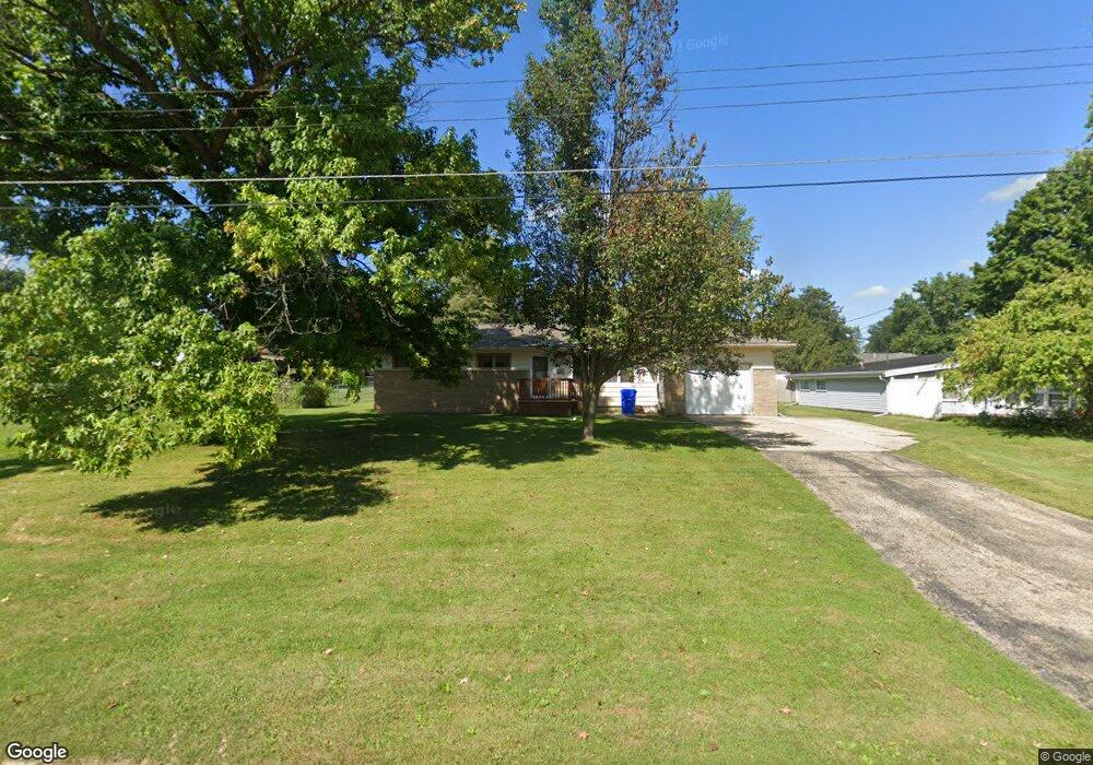
306 E Mcclure St Kewanee, IL 61443
Estimated Value: $116,963 - $128,000
3
Beds
--
Bath
1,200
Sq Ft
$101/Sq Ft
Est. Value
About This Home
This home is located at 306 E Mcclure St, Kewanee, IL 61443 and is currently estimated at $121,491, approximately $101 per square foot. 306 E Mcclure St is a home located in Henry County with nearby schools including Wethersfield Elementary School, Wethersfield Junior/Senior High School, and Visitation Catholic School.
Ownership History
Date
Name
Owned For
Owner Type
Purchase Details
Closed on
Oct 30, 2024
Sold by
Sturtevant Stephanie A
Bought by
Merritt Richard A
Current Estimated Value
Purchase Details
Closed on
Sep 6, 2013
Sold by
Moore Laverne E and Moore Mary L
Bought by
Sturtevant Stephanie A
Home Financials for this Owner
Home Financials are based on the most recent Mortgage that was taken out on this home.
Original Mortgage
$73,469
Interest Rate
4.75%
Mortgage Type
New Conventional
Create a Home Valuation Report for This Property
The Home Valuation Report is an in-depth analysis detailing your home's value as well as a comparison with similar homes in the area
Home Values in the Area
Average Home Value in this Area
Purchase History
| Date | Buyer | Sale Price | Title Company |
|---|---|---|---|
| Merritt Richard A | -- | None Listed On Document | |
| Merritt Richard A | -- | None Listed On Document | |
| Sturtevant Stephanie A | $71,000 | None Available |
Source: Public Records
Mortgage History
| Date | Status | Borrower | Loan Amount |
|---|---|---|---|
| Previous Owner | Sturtevant Stephanie A | $73,469 |
Source: Public Records
Tax History
| Year | Tax Paid | Tax Assessment Tax Assessment Total Assessment is a certain percentage of the fair market value that is determined by local assessors to be the total taxable value of land and additions on the property. | Land | Improvement |
|---|---|---|---|---|
| 2024 | $3,038 | $33,803 | $3,021 | $30,782 |
| 2023 | $2,810 | $31,012 | $2,772 | $28,240 |
| 2022 | $2,719 | $29,935 | $2,676 | $27,259 |
| 2021 | $2,732 | $29,205 | $2,611 | $26,594 |
| 2020 | $2,655 | $28,563 | $2,554 | $26,009 |
| 2019 | $2,595 | $28,577 | $2,555 | $26,022 |
| 2018 | $2,533 | $27,962 | $2,500 | $25,462 |
| 2017 | $2,486 | $27,603 | $2,468 | $25,135 |
| 2016 | $2,401 | $26,851 | $2,401 | $24,450 |
| 2015 | $1,041 | $25,943 | $2,320 | $23,623 |
| 2013 | $1,041 | $25,431 | $2,274 | $23,157 |
Source: Public Records
Map
Nearby Homes
- 446 Dwight St
- 124 E Mill St
- 116 W Garfield St
- 436 Hollis St
- 202 Regina Ct
- 732 S Main St
- 716 Morton Ave
- 136 W Mill St
- 714 S Main St
- 236 W Church St
- 416 Payson St
- 712 Roosevelt Ave
- 702 Elliott St Unit 1
- 328 E Prospect St
- 337 Whitney Ave
- 215 W Prospect St
- 529 Whitney Ave
- 122 Beach St S
- 110 N Park St
- 512 Commercial St
- 344 Dwight St
- 316 E Mcclure St
- 305 Emmons Ave
- 322 E Mcclure St
- 311 Emmons Ave
- 332 Dwight St
- 325 Emmons Ave
- 402 Dwight St
- 402 Dwight St Unit 2
- 402 Dwight St Unit 1
- 338 E Mcclure St
- 408 Dwight St
- 321 E Mcclure St
- 349 Dwight St
- 331 Emmons Ave
- 351 Dwight St
- 343 Dwight St
- 410 Dwight St
- 335 Dwight St
- 308 Hilltop Dr
Your Personal Tour Guide
Ask me questions while you tour the home.