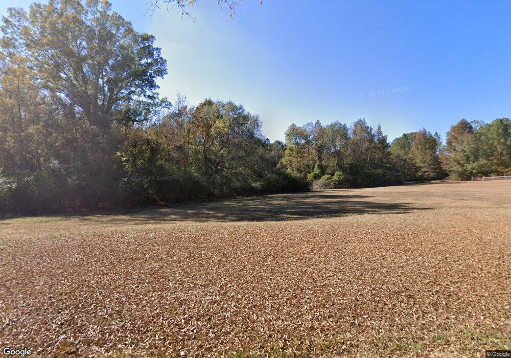
306 Harrison Rd Newton, MS 39345
Estimated Value: $160,000
3
Beds
2
Baths
2,481
Sq Ft
$64/Sq Ft
Est. Value
About This Home
This home is located at 306 Harrison Rd, Newton, MS 39345 and is currently estimated at $160,000, approximately $64 per square foot. 306 Harrison Rd is a home located in Newton County with nearby schools including Newton County Elementary School and Newton County High School.
Ownership History
Date
Name
Owned For
Owner Type
Purchase Details
Closed on
Jun 24, 2022
Sold by
Harrison Thomas K
Bought by
Slay James W and Slay Krystal H
Current Estimated Value
Purchase Details
Closed on
Jun 23, 2020
Sold by
Harrison Thomas K and Harrison Dawn M
Bought by
Harrison Krystal
Home Financials for this Owner
Home Financials are based on the most recent Mortgage that was taken out on this home.
Original Mortgage
$83,734
Interest Rate
3.1%
Mortgage Type
New Conventional
Purchase Details
Closed on
Aug 4, 2005
Sold by
Aycox Kevin and Aycox Tanya
Bought by
Harrison Thomas K
Create a Home Valuation Report for This Property
The Home Valuation Report is an in-depth analysis detailing your home's value as well as a comparison with similar homes in the area
Purchase History
| Date | Buyer | Sale Price | Title Company |
|---|---|---|---|
| Slay James W | -- | None Listed On Document | |
| Harrison Krystal | -- | -- | |
| Harrison Thomas K | -- | -- |
Source: Public Records
Mortgage History
| Date | Status | Borrower | Loan Amount |
|---|---|---|---|
| Previous Owner | Harrison Krystal | $83,734 |
Source: Public Records
Tax History
| Year | Tax Paid | Tax Assessment Tax Assessment Total Assessment is a certain percentage of the fair market value that is determined by local assessors to be the total taxable value of land and additions on the property. | Land | Improvement |
|---|---|---|---|---|
| 2025 | $62 | $489 | $0 | $0 |
| 2023 | $62 | $501 | $0 | $0 |
| 2022 | $62 | $518 | $0 | $0 |
| 2021 | $65 | $539 | $0 | $0 |
| 2020 | $737 | $8,778 | $0 | $0 |
| 2019 | $747 | $8,810 | $0 | $0 |
| 2018 | $710 | $8,830 | $0 | $0 |
| 2017 | $705 | $8,872 | $0 | $0 |
| 2016 | $688 | $8,824 | $0 | $0 |
| 2015 | -- | $8,776 | $0 | $0 |
| 2014 | -- | $8,734 | $0 | $0 |
Source: Public Records
Map
Nearby Homes
- 0000 Airport Rd
- Lot 3 Triple Ridge Blvd
- 624 Caraway Rd
- 0 Airport Rd
- 327 Wilbur Rd
- 0 Edwards Rd
- 266 Smede St
- 21959 Hwy 80
- 1458 Hickory Little Rock Rd
- 0 Hwy 15 Wickware Rd Unit 26-48
- 107 Adeline Ln
- 0 Eastside Dr
- 0 Clyde Evans Rd
- 103 Old Hickory Rd
- 710 Decatur St
- 402 E Church St
- 0 1st Ave
- 103 Rew St
- 602 S Main St
- 104 W Tatum St
- 468 Harrison Rd
- 690 Poplar Springs Rd
- 2652 Potterchitto Rd
- 526 Harrison Rd
- 595 Poplar Springs Rd
- 496 Harrison Rd
- 528 Harrison Rd
- 2954 Potterchitto Rd
- 2405 Potterchitto Rd
- 310 Brand Rd
- 2285 Potterchitto Rd
- 304 Poplar Springs Rd
- 267 Poplar Springs Rd
- 3596 Airport Rd
- 3635 Airport Rd
- 3271 Potterchitto Rd
- 116 Poplar Springs Rd
- 3470 Airport Rd
- 556 Highway 15
- 563 Brand Rd
