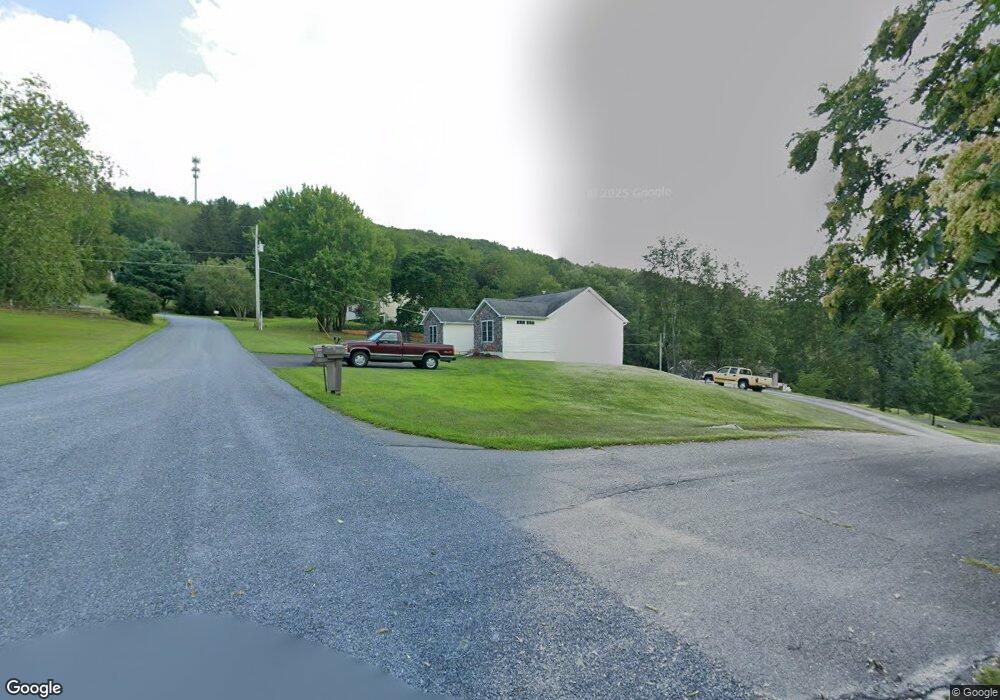
306 Maple Ave Lehighton, PA 18235
Estimated Value: $321,000 - $406,000
4
Beds
1
Bath
1,792
Sq Ft
$199/Sq Ft
Est. Value
About This Home
This home is located at 306 Maple Ave, Lehighton, PA 18235 and is currently estimated at $355,719, approximately $198 per square foot. 306 Maple Ave is a home located in Carbon County with nearby schools including Lehighton Area High School, Sts. Peter & Paul School, and Valley Ridge Academy.
Ownership History
Date
Name
Owned For
Owner Type
Purchase Details
Closed on
Jan 24, 2023
Sold by
Smith Robert L and Smith Robin H
Bought by
Smith Robert L
Current Estimated Value
Purchase Details
Closed on
Oct 12, 2007
Sold by
Teel Land Development Llc
Bought by
Smith Robert L and Smith Robin H
Home Financials for this Owner
Home Financials are based on the most recent Mortgage that was taken out on this home.
Original Mortgage
$180,000
Interest Rate
6.49%
Mortgage Type
New Conventional
Create a Home Valuation Report for This Property
The Home Valuation Report is an in-depth analysis detailing your home's value as well as a comparison with similar homes in the area
Home Values in the Area
Average Home Value in this Area
Purchase History
| Date | Buyer | Sale Price | Title Company |
|---|---|---|---|
| Smith Robert L | -- | Chain Of Title Inc | |
| Smith Robert L | $225,000 | None Available |
Source: Public Records
Mortgage History
| Date | Status | Borrower | Loan Amount |
|---|---|---|---|
| Previous Owner | Smith Robert L | $180,000 |
Source: Public Records
Tax History Compared to Growth
Tax History
| Year | Tax Paid | Tax Assessment Tax Assessment Total Assessment is a certain percentage of the fair market value that is determined by local assessors to be the total taxable value of land and additions on the property. | Land | Improvement |
|---|---|---|---|---|
| 2025 | $4,769 | $62,250 | $7,250 | $55,000 |
| 2024 | $4,520 | $62,250 | $7,250 | $55,000 |
| 2023 | $4,473 | $62,250 | $7,250 | $55,000 |
| 2022 | $4,473 | $62,250 | $7,250 | $55,000 |
| 2021 | $4,231 | $62,250 | $7,250 | $55,000 |
| 2020 | $4,231 | $62,250 | $7,250 | $55,000 |
| 2019 | $4,044 | $62,250 | $7,250 | $55,000 |
| 2018 | $4,044 | $62,250 | $7,250 | $55,000 |
| 2017 | $4,044 | $62,250 | $7,250 | $55,000 |
| 2016 | -- | $62,250 | $7,250 | $55,000 |
| 2015 | -- | $62,250 | $7,250 | $55,000 |
| 2014 | -- | $62,250 | $7,250 | $55,000 |
Source: Public Records
Map
Nearby Homes
- 361 Court St Unit REAR
- 361 Court St
- 20 Court St
- 95 Franklin Heights Rd
- 0 Fairyland Rd Unit PM-136987
- 142 Bankway St
- 8 Lentz Ave
- 600 N Harrity Rd
- 134 Bridge St
- 236 S 2nd St
- 230 S 2nd St
- 216 North St Unit 218
- 119 S 3rd St
- 260 S 3rd St
- 196 S 3rd St
- 231 Coal St
- 215 N 4th St
- 408 Bridge St
- 432 N 3rd St
- 230 Carbon St