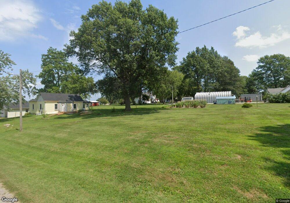
306 Maple St Corder, MO 64021
Estimated Value: $191,000 - $237,000
3
Beds
2
Baths
1,858
Sq Ft
$115/Sq Ft
Est. Value
About This Home
This home is located at 306 Maple St, Corder, MO 64021 and is currently estimated at $213,181, approximately $114 per square foot. 306 Maple St is a home located in Lafayette County with nearby schools including Grandview Elementary School, Lafayette County Middle School, and Lafayette County High School.
Ownership History
Date
Name
Owned For
Owner Type
Purchase Details
Closed on
Nov 5, 2024
Sold by
Mahnken Maria and Goetz Maria
Bought by
Bergsieker Danielle
Current Estimated Value
Home Financials for this Owner
Home Financials are based on the most recent Mortgage that was taken out on this home.
Original Mortgage
$144,000
Outstanding Balance
$140,533
Interest Rate
6.12%
Mortgage Type
New Conventional
Estimated Equity
$72,648
Purchase Details
Closed on
Sep 22, 2010
Sold by
Mahnken Maria
Bought by
Mahnken Maria and Goetz Jacob
Create a Home Valuation Report for This Property
The Home Valuation Report is an in-depth analysis detailing your home's value as well as a comparison with similar homes in the area
Purchase History
| Date | Buyer | Sale Price | Title Company |
|---|---|---|---|
| Bergsieker Danielle | -- | Truman Title | |
| Bergsieker Danielle | -- | Truman Title | |
| Mahnken Maria | -- | -- |
Source: Public Records
Mortgage History
| Date | Status | Borrower | Loan Amount |
|---|---|---|---|
| Open | Bergsieker Danielle | $144,000 | |
| Closed | Bergsieker Danielle | $144,000 |
Source: Public Records
Tax History
| Year | Tax Paid | Tax Assessment Tax Assessment Total Assessment is a certain percentage of the fair market value that is determined by local assessors to be the total taxable value of land and additions on the property. | Land | Improvement |
|---|---|---|---|---|
| 2025 | $997 | $16,140 | $0 | $0 |
| 2024 | $10 | $14,157 | $0 | $0 |
| 2023 | $970 | $14,157 | $0 | $0 |
| 2022 | $963 | $14,157 | $0 | $0 |
| 2021 | $989 | $14,157 | $0 | $0 |
| 2020 | $989 | $14,024 | $0 | $0 |
| 2019 | $984 | $14,024 | $0 | $0 |
| 2018 | $961 | $14,024 | $0 | $0 |
| 2017 | $961 | $14,024 | $0 | $0 |
| 2016 | $813 | $60,140 | $14,050 | $46,090 |
| 2012 | -- | $66,120 | $14,050 | $52,070 |
Source: Public Records
Map
Nearby Homes
- 511 N Main St
- 206 E 13th St
- 214 E 15th St
- 106 E 14th St
- 119 E 15th Terrace
- 1000 Main St
- 1110 Elm St
- 202 N Zeysing Rd
- 111 W Clara Ave
- 2203 Walnut St
- 2118 Walnut St
- 105 W 23rd St
- 303 W Broadway St
- 409 W 26th St
- 508 W 19th St
- 504 W 29th St
- 1905 Cedar St
- 625 W Broadway St
- 809 W 25th Terrace
- 21232 Mount Moriah Rd
- 609 N Elizabeth St
- 404 Maple St
- 620 N Mitchell St
- 626 N Mitchell St
- 604 N Lee St
- 607 N Lee St
- 603 N Lee St
- 606 N Elizabeth St
- 13796 Mitchell Rd
- 504 Maple St
- 608 N Elizabeth St
- 517 N Elizabeth St
- 515 N Lee St
- 13818 Mitchell Rd
- 600 N Elizabeth St
- 518 N Lee St
- 516 N Elizabeth St
- 511 N Elizabeth St
- 13862 Mitchell Rd
- 609 N Main St
Your Personal Tour Guide
Ask me questions while you tour the home.