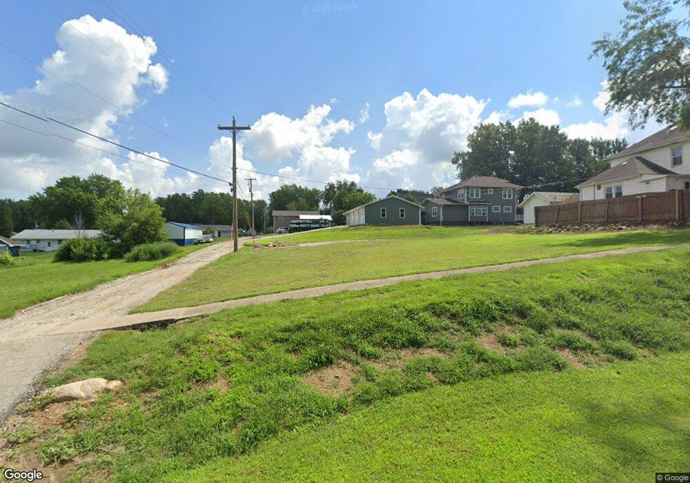
306 N 9th St Dunlap, IA 51529
Estimated Value: $29,492 - $203,000
4
Beds
1
Bath
1,340
Sq Ft
$85/Sq Ft
Est. Value
About This Home
This home is located at 306 N 9th St, Dunlap, IA 51529 and is currently estimated at $114,123, approximately $85 per square foot. 306 N 9th St is a home located in Harrison County with nearby schools including Boyer Valley Elementary School and Boyer Valley Middle/High School.
Ownership History
Date
Name
Owned For
Owner Type
Purchase Details
Closed on
Sep 30, 2022
Sold by
Kline Daniel D and Kline Tiffany
Bought by
Wingrove Steven William and Wingrove Jessica Marie
Current Estimated Value
Home Financials for this Owner
Home Financials are based on the most recent Mortgage that was taken out on this home.
Original Mortgage
$14,400
Outstanding Balance
$13,790
Interest Rate
5.55%
Mortgage Type
Credit Line Revolving
Estimated Equity
$100,333
Create a Home Valuation Report for This Property
The Home Valuation Report is an in-depth analysis detailing your home's value as well as a comparison with similar homes in the area
Home Values in the Area
Average Home Value in this Area
Purchase History
| Date | Buyer | Sale Price | Title Company |
|---|---|---|---|
| Wingrove Steven William | $18,500 | -- |
Source: Public Records
Mortgage History
| Date | Status | Borrower | Loan Amount |
|---|---|---|---|
| Open | Wingrove Steven William | $14,400 |
Source: Public Records
Tax History Compared to Growth
Tax History
| Year | Tax Paid | Tax Assessment Tax Assessment Total Assessment is a certain percentage of the fair market value that is determined by local assessors to be the total taxable value of land and additions on the property. | Land | Improvement |
|---|---|---|---|---|
| 2025 | $428 | $10,600 | $10,600 | $0 |
| 2024 | $428 | $23,720 | $10,600 | $13,120 |
| 2023 | $430 | $23,720 | $10,600 | $13,120 |
| 2022 | $416 | $21,737 | $10,598 | $11,139 |
| 2021 | $416 | $21,737 | $10,598 | $11,139 |
| 2020 | $400 | $19,742 | $10,598 | $9,144 |
| 2019 | $722 | $19,742 | $10,598 | $9,144 |
| 2018 | $718 | $33,520 | $0 | $0 |
| 2017 | $550 | $33,520 | $0 | $0 |
| 2016 | $538 | $33,520 | $0 | $0 |
| 2015 | $538 | $30,198 | $0 | $0 |
| 2014 | $428 | $30,198 | $0 | $0 |
Source: Public Records
Map
Nearby Homes
- 1403 Eaton St
- 202 Y St
- 32055 Spruce Ave
- 1110 Street F16
- 2074 U Ave
- 211 Brookview Dr
- 37 10th St
- 2590 220th St
- 808 Park St
- 42 6th St
- 406 Weare St
- 102 Bluegrass Ln
- 101 Bluegrass Ln
- 907 Harvest Hills Dr
- 106 Bluegrass Ln
- 905 Harvest Hills Dr
- 903 Harvest Hills Dr
- 111 Ridgeline Rd
- 906 Harvest Hills Dr
- 305 Normal St
- 901 Montague St
- 905 Montague St
- 305 N 10th St
- 906 Clinton St
- 909 Montague St
- 809 Montague St
- 309 N 9th St
- 902 Clinton St
- 807 Montague St
- 311 N 10th St
- 311 N 9th St
- 908 Montague St
- 902 Montague St
- 805 Montague St
- 910 Montague St
- 806 Clinton St
- 1001 Montague St
- 308 N 10th St
- 804 Clinton St
- 207 N 10th St