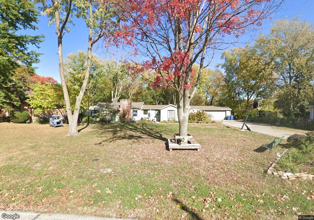
306 Norton Ave Liberty, MO 64068
Estimated Value: $288,000 - $372,000
3
Beds
2
Baths
2,258
Sq Ft
$145/Sq Ft
Est. Value
About This Home
This home is located at 306 Norton Ave, Liberty, MO 64068 and is currently estimated at $326,405, approximately $144 per square foot. 306 Norton Ave is a home located in Clay County with nearby schools including Alexander Doniphan Elementary School, Discovery Middle School, and Liberty High School.
Ownership History
Date
Name
Owned For
Owner Type
Purchase Details
Closed on
Feb 23, 2011
Sold by
Piercy Lisa D
Bought by
Gaeddert Phillip A and Gaeddert Rae L
Current Estimated Value
Home Financials for this Owner
Home Financials are based on the most recent Mortgage that was taken out on this home.
Original Mortgage
$146,775
Outstanding Balance
$100,052
Interest Rate
4.7%
Mortgage Type
New Conventional
Estimated Equity
$226,353
Purchase Details
Closed on
Jun 21, 2006
Sold by
Driscoll John
Bought by
Piercy Lisa D
Home Financials for this Owner
Home Financials are based on the most recent Mortgage that was taken out on this home.
Original Mortgage
$113,599
Interest Rate
6.58%
Mortgage Type
Purchase Money Mortgage
Purchase Details
Closed on
Nov 25, 2003
Sold by
Miller Bruce D and Miller Paula M
Bought by
Driscoll John
Home Financials for this Owner
Home Financials are based on the most recent Mortgage that was taken out on this home.
Original Mortgage
$100,000
Interest Rate
4.75%
Mortgage Type
Purchase Money Mortgage
Create a Home Valuation Report for This Property
The Home Valuation Report is an in-depth analysis detailing your home's value as well as a comparison with similar homes in the area
Home Values in the Area
Average Home Value in this Area
Purchase History
| Date | Buyer | Sale Price | Title Company |
|---|---|---|---|
| Gaeddert Phillip A | -- | Stewart Title | |
| Piercy Lisa D | -- | First American Title Ins Co | |
| Driscoll John | -- | Stewart Title |
Source: Public Records
Mortgage History
| Date | Status | Borrower | Loan Amount |
|---|---|---|---|
| Open | Gaeddert Phillip A | $146,775 | |
| Previous Owner | Piercy Lisa D | $113,599 | |
| Previous Owner | Driscoll John | $100,000 |
Source: Public Records
Tax History Compared to Growth
Tax History
| Year | Tax Paid | Tax Assessment Tax Assessment Total Assessment is a certain percentage of the fair market value that is determined by local assessors to be the total taxable value of land and additions on the property. | Land | Improvement |
|---|---|---|---|---|
| 2025 | $2,070 | $32,220 | -- | -- |
| 2024 | $2,070 | $28,040 | -- | -- |
| 2023 | $2,101 | $28,040 | $0 | $0 |
| 2022 | $1,971 | $26,010 | $0 | $0 |
| 2021 | $1,979 | $26,011 | $7,486 | $18,525 |
| 2020 | $1,971 | $24,450 | $0 | $0 |
| 2019 | $1,969 | $24,396 | $7,315 | $17,081 |
| 2018 | $1,632 | $19,860 | $0 | $0 |
| 2017 | $1,614 | $19,850 | $3,760 | $16,090 |
| 2016 | $1,614 | $19,850 | $3,760 | $16,090 |
| 2015 | $1,614 | $19,850 | $3,760 | $16,090 |
| 2014 | $1,981 | $24,320 | $3,760 | $20,560 |
Source: Public Records
Map
Nearby Homes
- 1733 Welleslay Ln
- 1991 Harvest Rd
- 1537 Canterbury Ln
- 1507 Amesbury Ave
- 1841 Vintage Ln
- 1852 Vintage Ln
- 2153 Black Walnut Dr
- 2152 Black Walnut Dr
- 2157 Black Walnut Dr
- 1845 Arbor Trail
- 1929 Longview Dr
- 2156 Black Walnut Dr
- 2116 Winding Woods Dr
- 1975 Harvest Rd
- 1979 Harvest Rd
- 1971 Harvest Rd
- 1836 Green Meadow Dr
- 1856 Arbor Trail
- 1912 Longview Dr
- 1985 Longview Dr