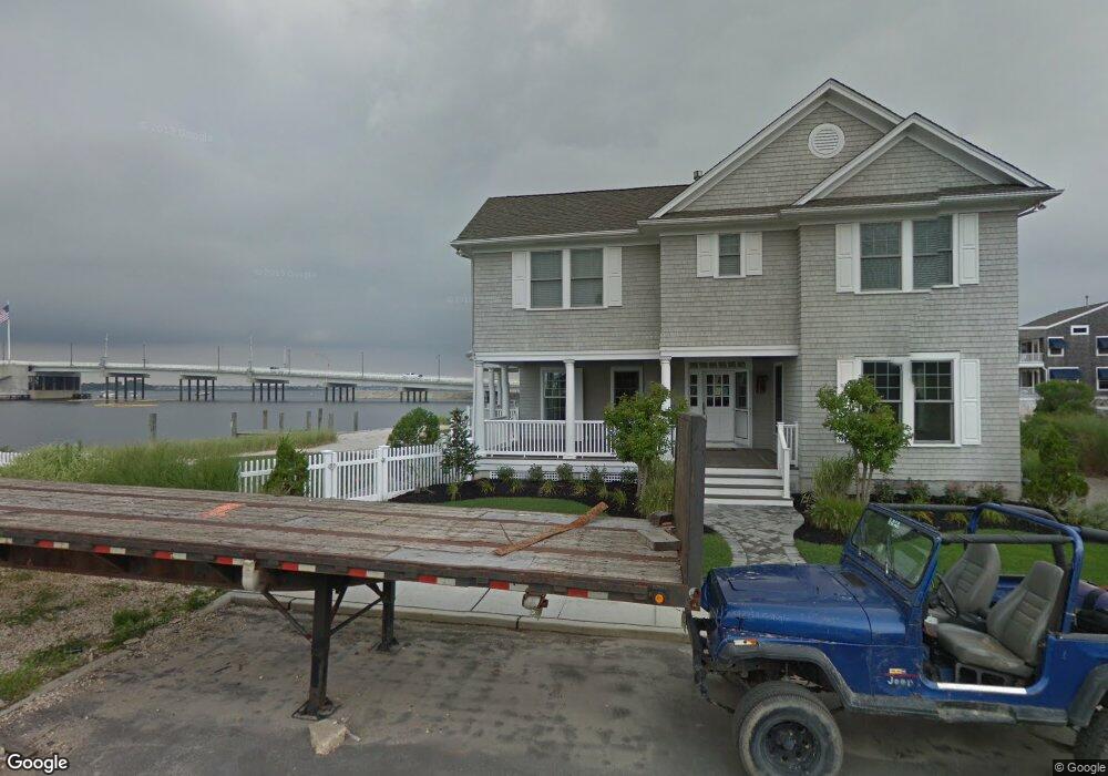
306 Old Bridge St Unit WINTER RENTAL Mantoloking, NJ 08738
Estimated Value: $2,669,000 - $4,650,281
7
Beds
4
Baths
4,679
Sq Ft
$848/Sq Ft
Est. Value
About This Home
This home is located at 306 Old Bridge St Unit WINTER RENTAL, Mantoloking, NJ 08738 and is currently estimated at $3,966,427, approximately $847 per square foot. 306 Old Bridge St Unit WINTER RENTAL is a home located in Ocean County with nearby schools including G Harold Antrim Elementary School, Point Pleasant Beach High School, and St. Peter School.
Ownership History
Date
Name
Owned For
Owner Type
Purchase Details
Closed on
Mar 10, 2021
Sold by
Cooper Mark A
Bought by
Cooper Christopher T and Cooper Jonathan L
Current Estimated Value
Purchase Details
Closed on
Jun 23, 2010
Sold by
Cooper Joyce M
Bought by
Cooper Jonathan and Cooper Mark
Create a Home Valuation Report for This Property
The Home Valuation Report is an in-depth analysis detailing your home's value as well as a comparison with similar homes in the area
Home Values in the Area
Average Home Value in this Area
Purchase History
| Date | Buyer | Sale Price | Title Company |
|---|---|---|---|
| Cooper Christopher T | $1,050,000 | Afrm Title & Abstract Llc | |
| Cooper Christopher T | $1,050,000 | Afrm Title & Abstract | |
| Cooper Jonathan L | -- | Afrm Title & Abstract Llc | |
| Cooper Jonathan L | -- | None Listed On Document | |
| Cooper Jonathan | -- | None Available |
Source: Public Records
Tax History Compared to Growth
Tax History
| Year | Tax Paid | Tax Assessment Tax Assessment Total Assessment is a certain percentage of the fair market value that is determined by local assessors to be the total taxable value of land and additions on the property. | Land | Improvement |
|---|---|---|---|---|
| 2025 | $25,693 | $2,994,500 | $1,987,100 | $1,007,400 |
| 2024 | $24,435 | $2,994,500 | $1,987,100 | $1,007,400 |
| 2023 | $20,962 | $2,994,500 | $1,987,100 | $1,007,400 |
| 2022 | $20,962 | $2,994,500 | $1,987,100 | $1,007,400 |
| 2021 | $21,059 | $2,994,500 | $1,987,100 | $1,007,400 |
| 2020 | $25,599 | $3,595,300 | $2,379,800 | $1,215,500 |
| 2019 | $27,662 | $3,940,400 | $2,379,800 | $1,560,600 |
| 2018 | $27,374 | $3,955,800 | $2,379,800 | $1,576,000 |
| 2017 | $26,654 | $3,824,100 | $2,379,800 | $1,444,300 |
| 2016 | $26,539 | $3,824,100 | $2,379,800 | $1,444,300 |
| 2015 | $26,119 | $3,824,100 | $2,379,800 | $1,444,300 |
| 2014 | $23,977 | $3,824,100 | $2,379,800 | $1,444,300 |
Source: Public Records
Map
Nearby Homes
- 1207 Ocean Ave
- 1201 Ocean Ave
- 1318 Ocean Ave
- 1097 Barnegat Ln
- 1063 Ocean Ave
- 1519 Runyon Ln
- 1027 Ocean Ave
- 122 Squan Beach Dr
- 982 Barnegat Ln
- 233 Curtis Point Dr
- 978 East Ave
- 150 Sunset Ln
- 954 Barnegat Ln
- 275 Curtis Point Dr
- 940 Barnegat Ln
- 920 East Ave
- 304 Schooner Ln
- 53 Driftwood Dr
- 47 Nina Ct
- 21 Scoop Rd
- 306 Old Bridge St Unit SUMMER RENTAL
- 306 Old Bridge St Unit WINTER MONTHLY
- 306 Old Bridge St
- 304 Old Bridge St
- 300 Old Bridge St
- 305 Old Bridge St
- 1208 Bay Ave
- 1206 Bay Ave
- 301 Old Bridge St
- 1204 Bay Ave
- 1222 Bay Ave
- 1211 Bay Ave
- 1200 Bay Ave
- 1215 Bay Ave
- 1203 Bay Ave
- 1209 Bay Ave
- 1219 Bay Ave
- 1201 Bay Ave
- 1225 Bay Ave
- 1198 Bay Ave