Estimated Value: $97,493 - $167,000
--
Bed
2
Baths
1,192
Sq Ft
$104/Sq Ft
Est. Value
About This Home
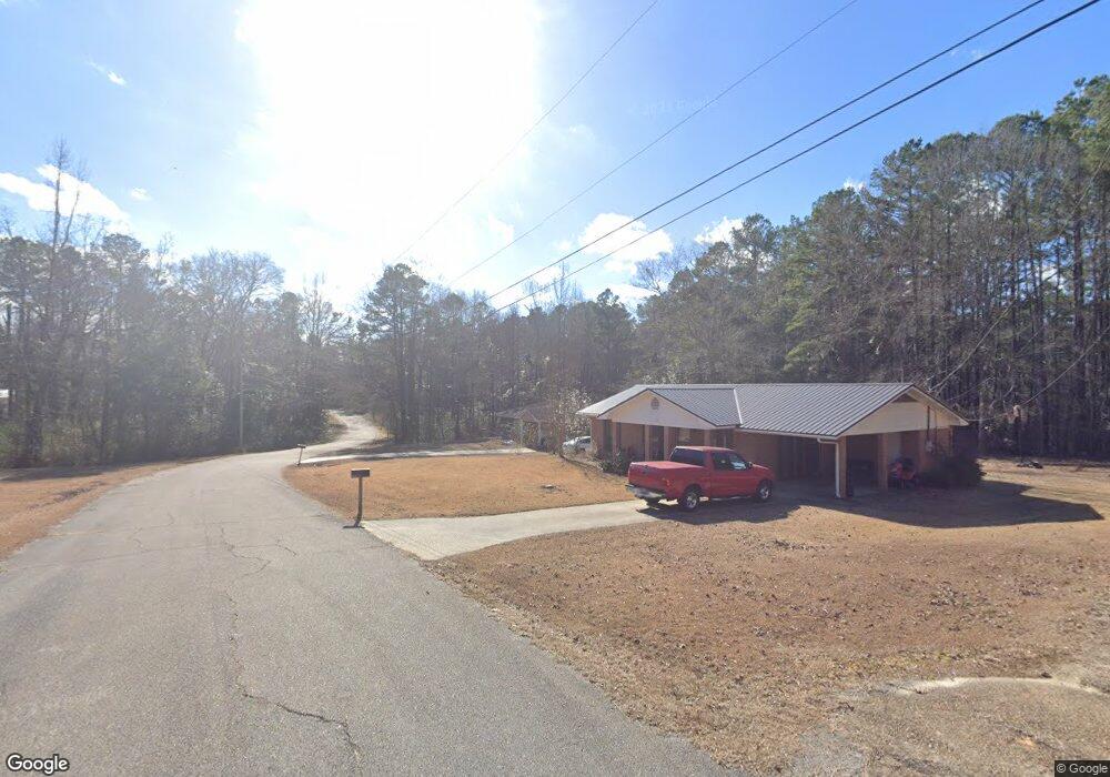
This home is located at 306 Robin Ln, Union, MS 39365 and is currently estimated at $123,373, approximately $103 per square foot. 306 Robin Ln is a home located in Neshoba County with nearby schools including Union Elementary School, Union Middle School, and Union High School.
Ownership History
Date
Name
Owned For
Owner Type
Purchase Details
Closed on
Apr 2, 2013
Sold by
Cheatham Properties Llc
Bought by
Sistrunk Richard and Sistrunk Crystal
Current Estimated Value
Home Financials for this Owner
Home Financials are based on the most recent Mortgage that was taken out on this home.
Original Mortgage
$67,256
Outstanding Balance
$47,910
Interest Rate
3.75%
Mortgage Type
FHA
Estimated Equity
$75,463
Purchase Details
Closed on
Nov 28, 2012
Sold by
Doolittle Ashley
Bought by
Cheatham Properties Llc
Create a Home Valuation Report for This Property
The Home Valuation Report is an in-depth analysis detailing your home's value as well as a comparison with similar homes in the area
Home Values in the Area
Average Home Value in this Area
Purchase History
| Date | Buyer | Sale Price | Title Company |
|---|---|---|---|
| Sistrunk Richard | -- | -- | |
| Cheatham Properties Llc | -- | -- |
Source: Public Records
Mortgage History
| Date | Status | Borrower | Loan Amount |
|---|---|---|---|
| Open | Sistrunk Richard | $67,256 |
Source: Public Records
Tax History Compared to Growth
Tax History
| Year | Tax Paid | Tax Assessment Tax Assessment Total Assessment is a certain percentage of the fair market value that is determined by local assessors to be the total taxable value of land and additions on the property. | Land | Improvement |
|---|---|---|---|---|
| 2025 | $664 | $6,246 | $0 | $0 |
| 2024 | $669 | $6,236 | $0 | $0 |
| 2023 | $623 | $5,718 | $0 | $0 |
| 2022 | $635 | $5,718 | $0 | $0 |
| 2021 | $621 | $5,718 | $0 | $0 |
| 2020 | $616 | $5,718 | $0 | $0 |
| 2019 | $638 | $5,821 | $0 | $0 |
| 2018 | $625 | $5,821 | $0 | $0 |
| 2017 | $619 | $5,821 | $0 | $0 |
| 2016 | $621 | $5,821 | $0 | $0 |
| 2015 | -- | $6,093 | $0 | $0 |
| 2014 | -- | $6,093 | $0 | $0 |
Source: Public Records
Map
Nearby Homes
- 408 North St
- 0 North St
- 218 Fifth St
- 201 5th St
- 702 E Jackson Rd
- 704 E Jackson Rd
- 0 Lakeview Dr
- 26 Lakeview Dr
- 0 Mississippi 15
- 309 Conehatta Rd
- 12061 Highway 21 S
- 11131 Road 325
- 0 Road 270
- 83 Bill Willis Rd
- 4188 Greenland Rd
- 66 Pete Freeman Rd
- 000 Greenland Rd
- 19763 Mississippi 15
- 3 County Road 347
- 2 County Road 347