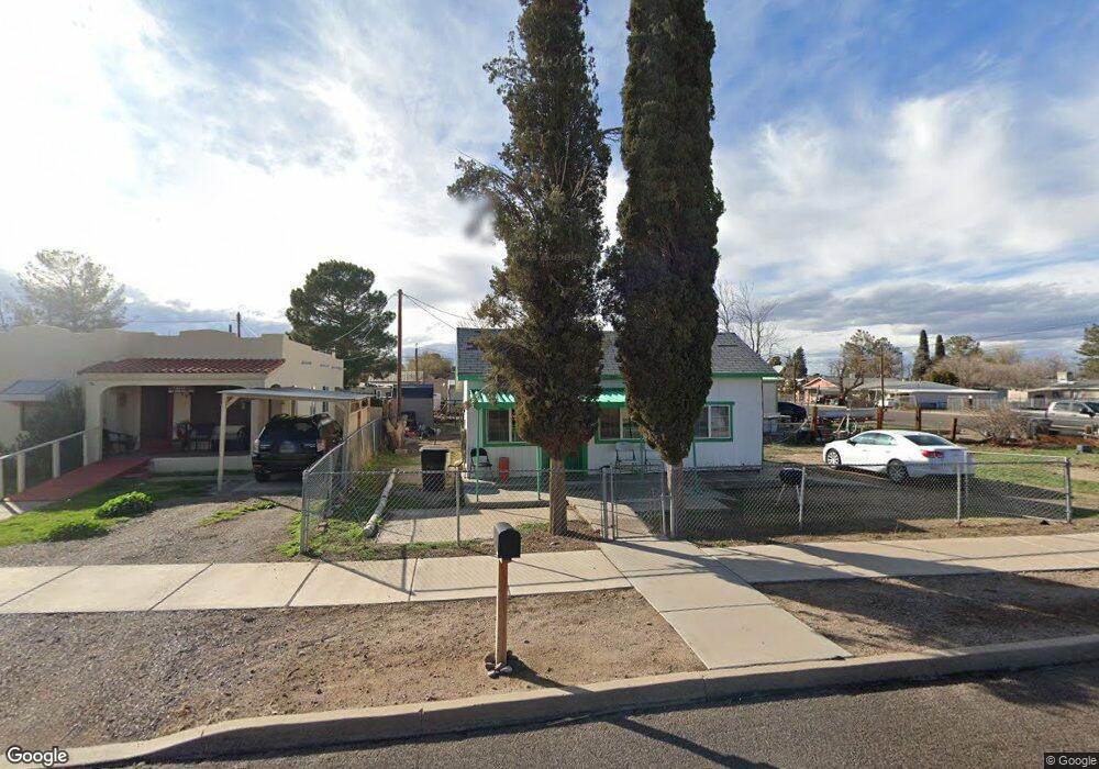
306 S Central Ave Safford, AZ 85546
Estimated Value: $59,000 - $122,000
Studio
--
Bath
692
Sq Ft
$125/Sq Ft
Est. Value
About This Home
This home is located at 306 S Central Ave, Safford, AZ 85546 and is currently estimated at $86,647, approximately $125 per square foot. 306 S Central Ave is a home located in Graham County with nearby schools including Ruth Powell Elementary School, Dorothy Stinson School, and Lafe Nelson School.
Ownership History
Date
Name
Owned For
Owner Type
Purchase Details
Closed on
Dec 10, 2025
Sold by
Fitzgerald Deborah Vinson
Bought by
Fitzgerald John W and Fitzgerald Ana M
Current Estimated Value
Home Financials for this Owner
Home Financials are based on the most recent Mortgage that was taken out on this home.
Original Mortgage
$60,000
Outstanding Balance
$59,884
Interest Rate
6.17%
Mortgage Type
Seller Take Back
Estimated Equity
$26,763
Purchase Details
Closed on
Feb 16, 2024
Sold by
Powerline Properties Llc
Bought by
Fitzgerald Deborah Vinson
Purchase Details
Closed on
Nov 1, 2023
Sold by
Fitzgerald John William
Bought by
Fitzgerald Deborah
Purchase Details
Closed on
May 10, 2017
Sold by
Perkins Maria S
Bought by
Powerline Properties Llc
Purchase Details
Closed on
Sep 29, 2016
Sold by
Perkins Ellis
Bought by
Perkins Maria S
Purchase Details
Closed on
Nov 18, 2008
Sold by
Verdugo Jorge F
Bought by
Perkins Ellis and Perkins Maria S
Create a Home Valuation Report for This Property
The Home Valuation Report is an in-depth analysis detailing your home's value as well as a comparison with similar homes in the area
Purchase History
| Date | Buyer | Sale Price | Title Company |
|---|---|---|---|
| Fitzgerald John W | $60,000 | Stewart Title & Trust Of Phoen | |
| Fitzgerald Deborah Vinson | -- | -- | |
| Fitzgerald Deborah | -- | None Listed On Document | |
| Powerline Properties Llc | $18,900 | Pioneer Title Agency | |
| Perkins Maria S | -- | None Available | |
| Perkins Ellis | $30,000 | Safford Title Agency | |
| Verdugo Jorge F | -- | Safford Title Agency |
Source: Public Records
Mortgage History
| Date | Status | Borrower | Loan Amount |
|---|---|---|---|
| Open | Fitzgerald John W | $60,000 |
Source: Public Records
Tax History
| Year | Tax Paid | Tax Assessment Tax Assessment Total Assessment is a certain percentage of the fair market value that is determined by local assessors to be the total taxable value of land and additions on the property. | Land | Improvement |
|---|---|---|---|---|
| 2026 | $184 | -- | -- | -- |
| 2025 | $184 | $5,420 | $847 | $4,573 |
| 2024 | $193 | $5,204 | $847 | $4,357 |
| 2023 | $193 | $4,304 | $847 | $3,457 |
| 2022 | $189 | $3,791 | $847 | $2,944 |
| 2021 | $203 | $0 | $0 | $0 |
| 2020 | $196 | $0 | $0 | $0 |
| 2019 | $204 | $0 | $0 | $0 |
| 2018 | $196 | $0 | $0 | $0 |
| 2017 | $187 | $0 | $0 | $0 |
| 2016 | $158 | $0 | $0 | $0 |
| 2015 | $188 | $0 | $0 | $0 |
Source: Public Records
Map
Nearby Homes
- 419 W 7th St
- 515 Highway 70 E
- 121 E 3rd St
- 1017 S 5th Ave
- 1104 S Central Ave
- 1204 S Central Ave Unit A
- 1204 S Central Ave Unit B
- 1204 S 1st Ave
- 1108 S 9th Ave
- 1225 S Central Ave
- 1227 S 7th Ave
- 1305 W Crimson Canyon Dr
- 120 Relation St Unit 1
- 828 W Navajo Ln
- 702 W 16th St
- 1115 W Relation St
- 1536 W Cherokee Ln
- 1292 W Relation St
- 1835 S 1st Ave
- 1915 S Fargo Dr
Your Personal Tour Guide
Ask me questions while you tour the home.