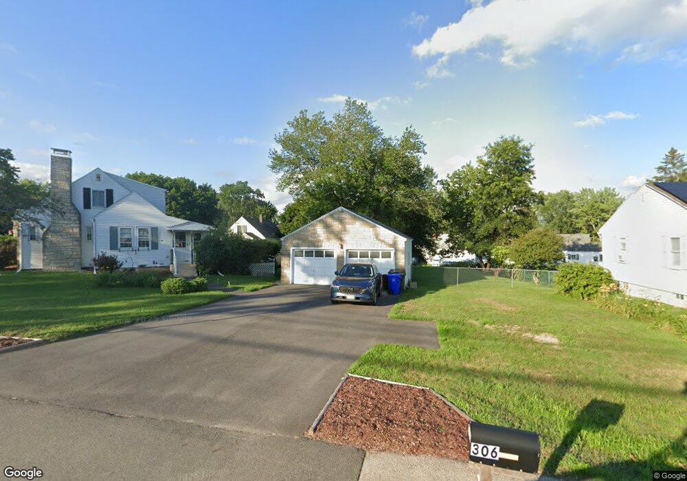
306 S Mammoth Rd Manchester, NH 03109
Green Acres NeighborhoodEstimated Value: $472,960 - $567,000
4
Beds
2
Baths
1,518
Sq Ft
$338/Sq Ft
Est. Value
About This Home
This home is located at 306 S Mammoth Rd, Manchester, NH 03109 and is currently estimated at $512,490, approximately $337 per square foot. 306 S Mammoth Rd is a home located in Hillsborough County with nearby schools including Henry J. McLaughlin Middle School, Manchester Memorial High School, and Mill Falls Charter School.
Ownership History
Date
Name
Owned For
Owner Type
Purchase Details
Closed on
Jul 30, 2015
Sold by
Smith Richard M and Smith Susannah K
Bought by
Smith Richard M and Smith Susannah K
Current Estimated Value
Purchase Details
Closed on
Feb 28, 2001
Sold by
Suk Young Hee
Bought by
Smith Richard M
Home Financials for this Owner
Home Financials are based on the most recent Mortgage that was taken out on this home.
Original Mortgage
$145,145
Interest Rate
7%
Create a Home Valuation Report for This Property
The Home Valuation Report is an in-depth analysis detailing your home's value as well as a comparison with similar homes in the area
Home Values in the Area
Average Home Value in this Area
Purchase History
| Date | Buyer | Sale Price | Title Company |
|---|---|---|---|
| Smith Richard M | -- | -- | |
| Smith Richard M | $153,000 | -- |
Source: Public Records
Mortgage History
| Date | Status | Borrower | Loan Amount |
|---|---|---|---|
| Previous Owner | Smith Richard M | $222,631 | |
| Previous Owner | Smith Richard M | $145,145 |
Source: Public Records
Tax History Compared to Growth
Tax History
| Year | Tax Paid | Tax Assessment Tax Assessment Total Assessment is a certain percentage of the fair market value that is determined by local assessors to be the total taxable value of land and additions on the property. | Land | Improvement |
|---|---|---|---|---|
| 2024 | $6,477 | $330,800 | $113,200 | $217,600 |
| 2023 | $6,239 | $330,800 | $113,200 | $217,600 |
| 2022 | $6,034 | $330,800 | $113,200 | $217,600 |
| 2021 | $5,849 | $330,800 | $113,200 | $217,600 |
| 2020 | $5,529 | $224,200 | $78,100 | $146,100 |
| 2019 | $5,453 | $224,200 | $78,100 | $146,100 |
| 2018 | $5,309 | $224,200 | $78,100 | $146,100 |
| 2017 | $5,228 | $224,200 | $78,100 | $146,100 |
| 2016 | $5,188 | $224,200 | $78,100 | $146,100 |
| 2015 | $5,164 | $220,300 | $72,300 | $148,000 |
| 2014 | $5,177 | $220,300 | $72,300 | $148,000 |
| 2013 | -- | $220,300 | $72,300 | $148,000 |
Source: Public Records
Map
Nearby Homes
- 21 Aurore Ave
- 316 S Mammoth Rd
- 31 Aurore Ave
- 17 Tougas Ave
- 311 S Mammoth Rd
- 322 S Mammoth Rd
- 294 S Mammoth Rd
- 29 Tougas Ave
- 28 Aurore Ave
- 293 S Mammoth Rd
- 49 Aurore Ave
- 321 S Mammoth Rd
- 321 S Mammoth Rd
- 321 S Mammoth Rd Unit Floor 2
- 39 Tougas Ave
- 45 Tougas Ave Unit 14
- 45 Tougas Ave
- 295 S Mammoth Rd Unit B
- 295 S Mammoth Rd Unit "B"
- 295 S Mammoth Rd Unit "A"