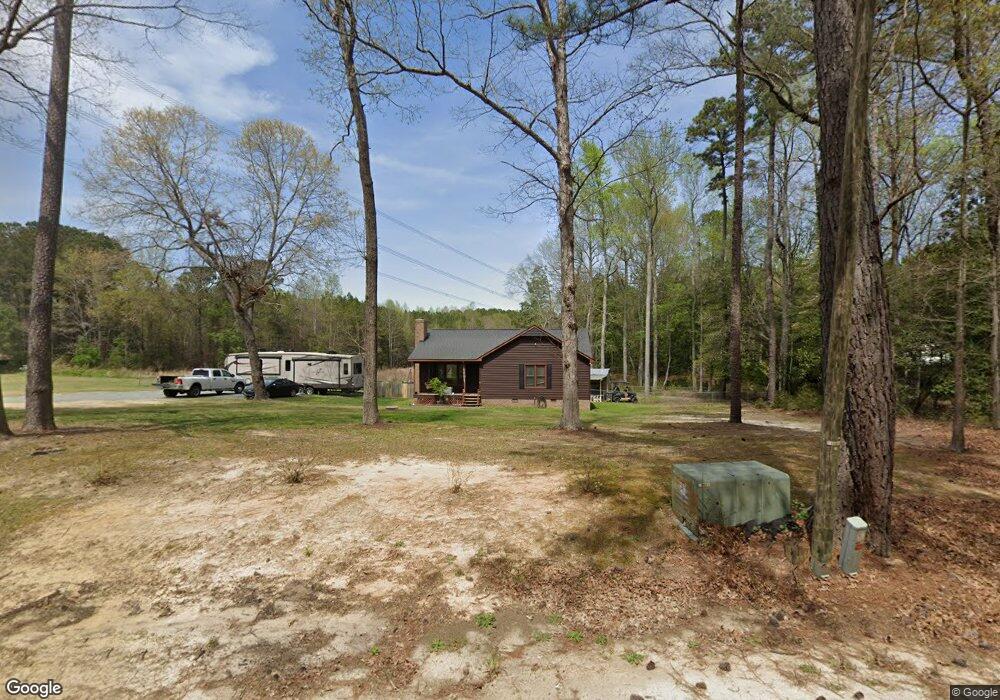
306 Westgate Cir Angier, NC 27501
Pleasant Grove NeighborhoodEstimated Value: $243,000 - $291,000
3
Beds
2
Baths
1,256
Sq Ft
$217/Sq Ft
Est. Value
About This Home
This home is located at 306 Westgate Cir, Angier, NC 27501 and is currently estimated at $272,094, approximately $216 per square foot. 306 Westgate Cir is a home located in Johnston County with nearby schools including McGee's Crossroads Elementary School, McGee's Crossroads Middle School, and West Johnston High School.
Ownership History
Date
Name
Owned For
Owner Type
Purchase Details
Closed on
Jul 14, 2005
Sold by
Coats Cherie Ann
Bought by
Medlock Michael Chad and Medlock Joni
Current Estimated Value
Home Financials for this Owner
Home Financials are based on the most recent Mortgage that was taken out on this home.
Original Mortgage
$104,703
Outstanding Balance
$54,409
Interest Rate
5.59%
Mortgage Type
VA
Estimated Equity
$217,685
Purchase Details
Closed on
Jun 22, 2001
Sold by
Coats Cherie Ann
Bought by
Perry Donna Faye
Create a Home Valuation Report for This Property
The Home Valuation Report is an in-depth analysis detailing your home's value as well as a comparison with similar homes in the area
Home Values in the Area
Average Home Value in this Area
Purchase History
| Date | Buyer | Sale Price | Title Company |
|---|---|---|---|
| Medlock Michael Chad | $103,000 | None Available | |
| Perry Donna Faye | -- | -- |
Source: Public Records
Mortgage History
| Date | Status | Borrower | Loan Amount |
|---|---|---|---|
| Open | Medlock Michael Chad | $104,703 |
Source: Public Records
Tax History Compared to Growth
Tax History
| Year | Tax Paid | Tax Assessment Tax Assessment Total Assessment is a certain percentage of the fair market value that is determined by local assessors to be the total taxable value of land and additions on the property. | Land | Improvement |
|---|---|---|---|---|
| 2025 | $1,359 | $259,060 | $67,500 | $191,560 |
| 2024 | $1,137 | $140,360 | $39,600 | $100,760 |
| 2023 | $1,102 | $140,360 | $39,600 | $100,760 |
| 2022 | $1,137 | $140,360 | $39,600 | $100,760 |
| 2021 | $1,137 | $140,360 | $39,600 | $100,760 |
| 2020 | $1,179 | $140,360 | $39,600 | $100,760 |
| 2019 | $1,151 | $140,360 | $39,600 | $100,760 |
| 2018 | $857 | $101,990 | $24,300 | $77,690 |
| 2017 | $857 | $101,990 | $24,300 | $77,690 |
| 2016 | $857 | $101,990 | $24,300 | $77,690 |
| 2015 | $857 | $101,990 | $24,300 | $77,690 |
| 2014 | $857 | $101,990 | $24,300 | $77,690 |
Source: Public Records
Map
Nearby Homes
- 135 Brookstone Way
- 19 Silverside Dr
- 197 Silverside Dr
- 154 Everland Pkwy
- 506 Harbor Cove Dr
- 376 Everland Pkwy
- 156 Harbor Cove Dr
- 264 Harbor Cove Dr
- 232 Burrage Dr
- 230 Paula Dr
- 105 Pinecrest Dr
- Cypress Plan at Cedar Ridge
- Wescott Plan at Cedar Ridge
- Colfax Plan at Cedar Ridge
- Edgefield Plan at Cedar Ridge
- Cooper Plan at Cedar Ridge
- Hamilton Plan at Cedar Ridge
- Davidson Plan at Cedar Ridge
- McDowell Plan at Cedar Ridge
- 115 S Bream Ct
- 308 Westgate Cir
- 307 Westgate Cir
- 305 Westgate Cir
- 400 Westgate Cir
- 302 Westgate Cir
- 303 Westgate Cir
- 401 Westgate Cir
- 402 Westgate Cir
- 204 Westgate Cir
- 211 Westgate Cir
- 403 Westgate Cir
- 404 Westgate Cir
- 207 Westgate Cir
- 405 Westgate Cir
- 200 Westgate Cir
- 2880 Old Fairground Rd
- 190 Mac Ln
- 205 Westgate Cir
- 172 Mac Ln
- 172 Mac Ln Unit 12