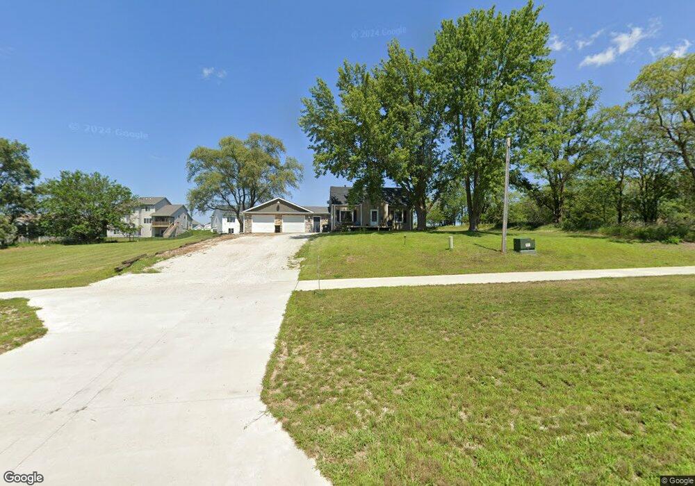
30601 Ashworth Rd Waukee, IA 50263
Estimated Value: $303,772 - $564,000
3
Beds
2
Baths
1,616
Sq Ft
$247/Sq Ft
Est. Value
About This Home
This home is located at 30601 Ashworth Rd, Waukee, IA 50263 and is currently estimated at $398,443, approximately $246 per square foot. 30601 Ashworth Rd is a home located in Dallas County with nearby schools including Timberline School, Prairieview Middle School, and Waukee High School.
Ownership History
Date
Name
Owned For
Owner Type
Purchase Details
Closed on
Mar 11, 2022
Sold by
Ati Daybreak Llc
Bought by
Sage Homes Inc
Current Estimated Value
Home Financials for this Owner
Home Financials are based on the most recent Mortgage that was taken out on this home.
Original Mortgage
$429,080
Outstanding Balance
$396,911
Interest Rate
3.55%
Mortgage Type
Construction
Estimated Equity
$1,532
Purchase Details
Closed on
May 3, 2021
Sold by
Lamb Joseph R and Lamb Taylor A
Bought by
City Of Waukee
Purchase Details
Closed on
Apr 8, 2013
Sold by
Lamb Joseph R and Newman Taylor A
Bought by
Lamb Joseph R and Lamb Taylor A
Home Financials for this Owner
Home Financials are based on the most recent Mortgage that was taken out on this home.
Original Mortgage
$139,600
Interest Rate
3.46%
Mortgage Type
New Conventional
Create a Home Valuation Report for This Property
The Home Valuation Report is an in-depth analysis detailing your home's value as well as a comparison with similar homes in the area
Home Values in the Area
Average Home Value in this Area
Purchase History
| Date | Buyer | Sale Price | Title Company |
|---|---|---|---|
| Sage Homes Inc | $83,000 | None Listed On Document | |
| City Of Waukee | $5,000 | None Available | |
| Lamb Joseph R | -- | None Available |
Source: Public Records
Mortgage History
| Date | Status | Borrower | Loan Amount |
|---|---|---|---|
| Open | Sage Homes Inc | $429,080 | |
| Previous Owner | Lamb Joseph R | $139,600 |
Source: Public Records
Tax History
| Year | Tax Paid | Tax Assessment Tax Assessment Total Assessment is a certain percentage of the fair market value that is determined by local assessors to be the total taxable value of land and additions on the property. | Land | Improvement |
|---|---|---|---|---|
| 2025 | $3,974 | $260,700 | $95,000 | $165,700 |
| 2024 | $4,036 | $248,050 | $87,000 | $161,050 |
| 2023 | $4,036 | $248,050 | $87,000 | $161,050 |
| 2022 | $4,036 | $216,600 | $78,300 | $138,300 |
| 2021 | $3,566 | $194,560 | $71,000 | $123,560 |
| 2020 | $3,430 | $180,910 | $63,010 | $117,900 |
| 2019 | $3,470 | $180,910 | $63,010 | $117,900 |
| 2018 | $3,470 | $174,160 | $60,760 | $113,400 |
| 2017 | $2,512 | $174,160 | $60,760 | $113,400 |
| 2016 | $2,286 | $135,860 | $27,010 | $108,850 |
| 2015 | $1,534 | $67,730 | $0 | $0 |
| 2014 | $1,552 | $70,510 | $0 | $0 |
Source: Public Records
Map
Nearby Homes
- 680 Morning Star Ct
- 640 Daybreak Dr
- 720 Daybreak Dr
- 605 Daybreak Dr
- 2930 Crescent Ridge Dr
- 660 Belmont Blvd
- 2835 Crescent Ridge Dr
- 875 Hamilton Rd
- 820 Hamilton Rd
- 710 Belmont Blvd
- 790 Hamilton Rd
- 895 Hamilton Rd
- 860 Hamilton Rd
- 3055 Jackpine Dr
- 880 Hamilton Rd
- 890 Hamilton Rd
- 805 Canterbury Cir
- 795 Canterbury Cir
- 900 Hamilton Rd
- 915 Hamilton Rd
- 690 Morningstar Ct
- 700 Morningstar Ct
- 680 Morningstar Ct
- 2975 Sunflower Dr
- 710 Morningstar Ct
- 2985 Sunflower Dr
- 2965 Sunflower Dr
- 720 Morningstar Ct
- 685 Morningstar Ct
- 31717 Ute Ave
- 695 Morningstar Ct
- 740 Morningstar Ct
- 705 Morningstar Ct
- 715 Morningstar Ct
- 725 Morningstar Ct
- 715 Silverleaf Ln
- 660 Daybreak Dr
- 670 Daybreak Dr
- 690 Daybreak Dr
- 2960 Sunflower Dr
Your Personal Tour Guide
Ask me questions while you tour the home.