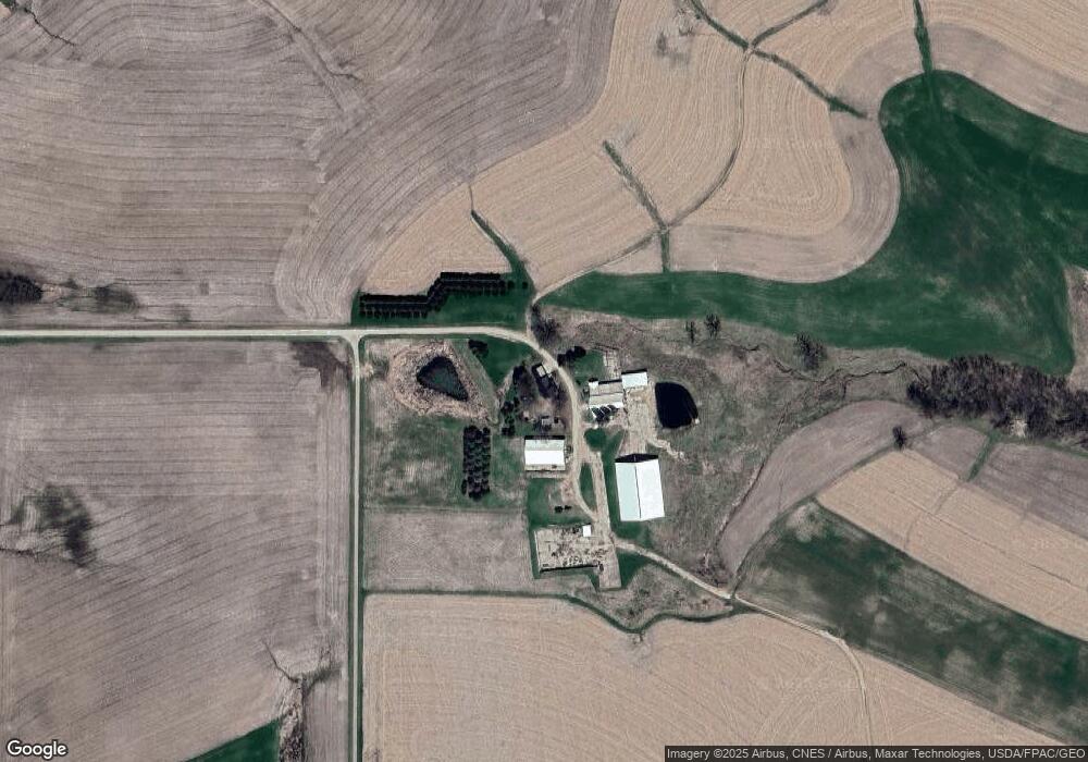
30603 Dairyland Dr Winona, MN 55987
Estimated Value: $479,000
3
Beds
2
Baths
1,248
Sq Ft
$384/Sq Ft
Est. Value
About This Home
This home is located at 30603 Dairyland Dr, Winona, MN 55987 and is currently estimated at $479,000, approximately $383 per square foot. 30603 Dairyland Dr is a home located in Winona County with nearby schools including Washington-Kosciusko Elementary School, Winona Middle School, and Winona Senior High School.
Ownership History
Date
Name
Owned For
Owner Type
Purchase Details
Closed on
Oct 3, 2016
Sold by
Grafenberg Paul L and Grafenberg Denise K
Bought by
Dockter Anthony T and Dockter Tanya J
Current Estimated Value
Home Financials for this Owner
Home Financials are based on the most recent Mortgage that was taken out on this home.
Original Mortgage
$1,000
Interest Rate
1.9%
Mortgage Type
Land Contract Argmt. Of Sale
Create a Home Valuation Report for This Property
The Home Valuation Report is an in-depth analysis detailing your home's value as well as a comparison with similar homes in the area
Home Values in the Area
Average Home Value in this Area
Purchase History
| Date | Buyer | Sale Price | Title Company |
|---|---|---|---|
| Dockter Anthony T | $251,128 | None Available |
Source: Public Records
Mortgage History
| Date | Status | Borrower | Loan Amount |
|---|---|---|---|
| Closed | Dockter Anthony T | $1,000 |
Source: Public Records
Tax History Compared to Growth
Tax History
| Year | Tax Paid | Tax Assessment Tax Assessment Total Assessment is a certain percentage of the fair market value that is determined by local assessors to be the total taxable value of land and additions on the property. | Land | Improvement |
|---|---|---|---|---|
| 2025 | $1,932 | $462,200 | $187,200 | $275,000 |
| 2024 | $2,048 | $429,800 | $172,700 | $257,100 |
| 2023 | $1,818 | $451,300 | $169,000 | $282,300 |
| 2022 | $1,556 | $435,400 | $158,800 | $276,600 |
| 2021 | $1,606 | $365,000 | $134,900 | $230,100 |
| 2020 | $1,690 | $370,500 | $137,900 | $232,600 |
| 2019 | $1,704 | $370,500 | $137,900 | $232,600 |
| 2018 | $1,700 | $359,300 | $124,300 | $235,000 |
| 2017 | $2,886 | $0 | $0 | $0 |
| 2016 | $4,314 | $0 | $0 | $0 |
| 2015 | $4,314 | $0 | $0 | $0 |
| 2014 | $3,578 | $0 | $0 | $0 |
Source: Public Records
Map
Nearby Homes
- TBD Lot 1 County Road 12
- 26228 Rocky Ridge Rd
- TBD Lot 5 Waida Rd
- TBD Lot 2 Waida Rd
- TBD Lot 4 Waida Rd
- TBD Lot 3 Waida Rd
- 0 E Burns Valley Rd Unit 1933975
- 26283 Meadowbrook Ln
- 26085 Frank Hill Rd
- 24242 Pfeiffer Hill Rd
- 34506 Pleasant Point Dr
- 23146 Highway 43
- TBD E Burns Valley Rd
- 169 Cobblestone Ln
- 851 6th St W
- 75 Debi Lei Dr
- 182 Treetops Ln
- 53 Rodeo Dr
- 58 Buck Ridge Dr
- 1031 Highway 43
- 30499 Dairyland Dr
- 27048 County Road 19
- 27237 County Road 19
- 27539 County Road 19
- xxxx County 19 Rd
- 27658 County Road 19
- 27658 County Road 19
- 27658 County Road 19
- 27658 County Road 19
- 27658 County Road 19
- 27658 County Road 19
- 27658 County Road 19
- 27658 County Road 19
- 27658 County Road 19
- 27658 County Road 19
- 27658 County Road 19
- 27611 County Road 19
- 30711 County Road 12
- 30653 County Road 12
- 30831 County Road 12