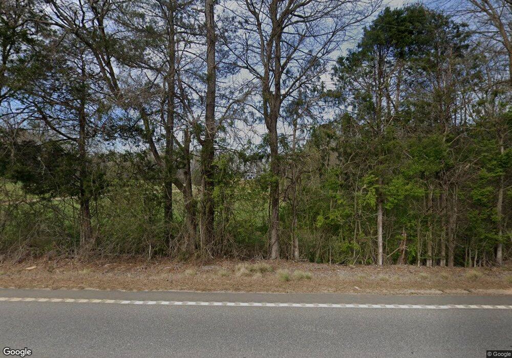
3065 Highway 51 N Carnesville, GA 30521
Estimated Value: $692,000 - $905,000
4
Beds
3
Baths
2,976
Sq Ft
$265/Sq Ft
Est. Value
About This Home
This home is located at 3065 Highway 51 N, Carnesville, GA 30521 and is currently estimated at $788,296, approximately $264 per square foot. 3065 Highway 51 N is a home located in Banks County with nearby schools including Banks County Primary School, Banks County Elementary School, and Banks County Middle School.
Ownership History
Date
Name
Owned For
Owner Type
Purchase Details
Closed on
Mar 22, 2021
Sold by
Turk William J
Bought by
Goss Scott Sanders and Goss Wendy S
Current Estimated Value
Home Financials for this Owner
Home Financials are based on the most recent Mortgage that was taken out on this home.
Original Mortgage
$418,000
Outstanding Balance
$374,498
Interest Rate
2.8%
Mortgage Type
New Conventional
Estimated Equity
$413,798
Purchase Details
Closed on
Jun 29, 2018
Sold by
Chatham Brenda Sue Morris
Bought by
Turk William J and Turk Leslie
Create a Home Valuation Report for This Property
The Home Valuation Report is an in-depth analysis detailing your home's value as well as a comparison with similar homes in the area
Home Values in the Area
Average Home Value in this Area
Purchase History
| Date | Buyer | Sale Price | Title Company |
|---|---|---|---|
| Goss Scott Sanders | $522,500 | -- | |
| Turk William J | $88,000 | -- |
Source: Public Records
Mortgage History
| Date | Status | Borrower | Loan Amount |
|---|---|---|---|
| Open | Goss Scott Sanders | $418,000 |
Source: Public Records
Tax History Compared to Growth
Tax History
| Year | Tax Paid | Tax Assessment Tax Assessment Total Assessment is a certain percentage of the fair market value that is determined by local assessors to be the total taxable value of land and additions on the property. | Land | Improvement |
|---|---|---|---|---|
| 2025 | $5,482 | $298,892 | $69,294 | $229,598 |
| 2024 | $5,482 | $284,987 | $62,995 | $221,992 |
| 2023 | $5,576 | $261,468 | $58,600 | $202,868 |
| 2022 | $4,392 | $222,165 | $45,645 | $176,520 |
| 2021 | $4,513 | $201,985 | $38,038 | $163,947 |
| 2020 | $4,332 | $188,926 | $26,494 | $162,432 |
| 2019 | $611 | $26,494 | $26,494 | $0 |
| 2018 | $556 | $23,738 | $23,738 | $0 |
Source: Public Records
Map
Nearby Homes
- 2205 Highway 51 N
- 14 Kristy Ln
- 135 Canters Run
- 262 Garrison Rd
- 108 Indigo Cir
- 150 Garrison Rd
- 4638 Highway 63
- 0 Falcon Ln Unit 10495019
- 0 Falcon Ln Unit 1024877
- 2090 Southern Seed Way
- 0 Wells Rd Unit 10648477
- 0 Poplar Mountain Ln
- 4001 Highway 198
- 1313 Damascus Rd
- 6343 Georgia 198
- 0 Banks Academy Rd Unit 10636762
- 152 Charity Dr
- 2526 Prospect Rd
- 0 Bennett Rd Unit 23200799
- 2630 Prospect Rd
- 3115 Highway 51 N
- 3115 Highway 51 N
- 3115 Hwy 51n
- 3080 Highway 51 N
- 3120 Highway 51 N
- 3149 Highway 51 N
- 3149 Hwy 51n
- 3057 Highway 51 N
- 3023 Highway 51 N
- 3044 Highway 51 N
- 3153 Highway 51 N
- 3058 Highway 51 N
- 3156 Highway 51 N
- 3156 Hwy 51n
- 165 Kay Dr
- 144 Kay Dr
- 3400 Highway 63
- 3032 Highway 51 N
- 3032 Highway 51 N Unit 1
- 3242 Highway 51 N
