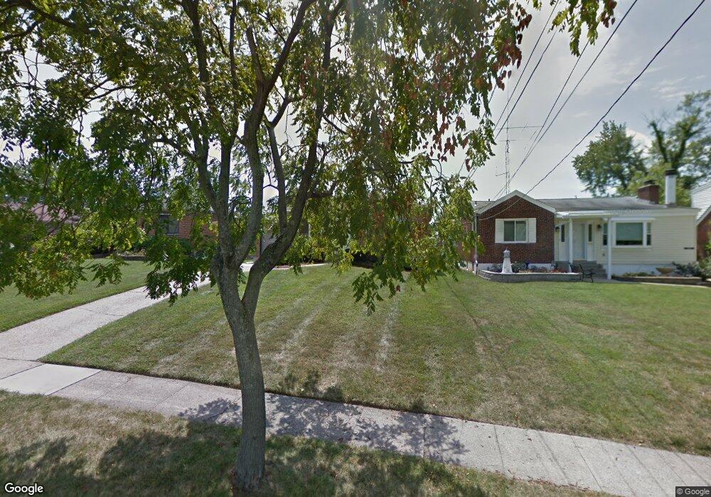
3065 West Tower Ave Cincinnati, OH 45238
Westwood NeighborhoodEstimated Value: $167,000 - $225,000
2
Beds
2
Baths
1,045
Sq Ft
$182/Sq Ft
Est. Value
About This Home
This home is located at 3065 West Tower Ave, Cincinnati, OH 45238 and is currently estimated at $190,002, approximately $181 per square foot. 3065 West Tower Ave is a home located in Hamilton County with nearby schools including Midway Elementary School, Western Hills High School, and Gilbert A. Dater High School.
Ownership History
Date
Name
Owned For
Owner Type
Purchase Details
Closed on
Aug 22, 2017
Sold by
Fenton Avenue Properties Llc
Bought by
Howard Demetrius L
Current Estimated Value
Purchase Details
Closed on
Jul 30, 1994
Sold by
Nester Justine Harris
Bought by
Calme Theresa A
Home Financials for this Owner
Home Financials are based on the most recent Mortgage that was taken out on this home.
Original Mortgage
$58,000
Interest Rate
8.41%
Create a Home Valuation Report for This Property
The Home Valuation Report is an in-depth analysis detailing your home's value as well as a comparison with similar homes in the area
Home Values in the Area
Average Home Value in this Area
Purchase History
| Date | Buyer | Sale Price | Title Company |
|---|---|---|---|
| Howard Demetrius L | $101,785 | None Available | |
| Calme Theresa A | -- | -- |
Source: Public Records
Mortgage History
| Date | Status | Borrower | Loan Amount |
|---|---|---|---|
| Previous Owner | Calme Theresa A | $58,000 |
Source: Public Records
Tax History
| Year | Tax Paid | Tax Assessment Tax Assessment Total Assessment is a certain percentage of the fair market value that is determined by local assessors to be the total taxable value of land and additions on the property. | Land | Improvement |
|---|---|---|---|---|
| 2025 | $2,866 | $46,390 | $6,983 | $39,407 |
| 2023 | $2,842 | $46,390 | $6,983 | $39,407 |
| 2022 | $1,883 | $27,496 | $5,670 | $21,826 |
| 2021 | $1,809 | $27,496 | $5,670 | $21,826 |
| 2020 | $1,862 | $27,496 | $5,670 | $21,826 |
| 2019 | $1,851 | $24,998 | $5,156 | $19,842 |
| 2018 | $1,854 | $24,998 | $5,156 | $19,842 |
| 2017 | $1,761 | $24,998 | $5,156 | $19,842 |
| 2016 | $2,045 | $28,658 | $5,985 | $22,673 |
| 2015 | $1,844 | $28,658 | $5,985 | $22,673 |
| 2014 | $1,858 | $28,658 | $5,985 | $22,673 |
| 2013 | $1,968 | $29,852 | $6,234 | $23,618 |
Source: Public Records
Map
Nearby Homes
- 3061 Veazey Ave
- 3124 Veazey Ave
- 3141 W Tower Ave
- 2925 Boudinot Ave
- 3011 Westbrook Dr
- 3106 Werk Rd
- 5020 Sidney Rd
- 3165 Werk Rd
- 3305 Queen City Ave
- 2640 Gehrum Ln
- 3004 Glenmore Ave
- 4778 Prosperity Place
- 4915 Heuwerth Ave
- 4740 Green Glen Ln
- 3101 Ramona Ave
- 4730 Hardwick Dr
- 1877 Ashbrook Dr
- 4734 Prosperity Place
- 4730 Prosperity Place
- 3373 Kathy Ln
- 3061 West Tower Ave
- 3069 West Tower Ave
- 3061 W Tower Ave
- 3073 West Tower Ave
- 3059 West Tower Ave
- 3059 W Tower Ave
- 3062 Veazey Ave
- 3058 Veazey Ave
- 3077 W Tower Ave
- 3077 West Tower Ave
- 3049 West Tower Ave
- 3049 W Tower Ave
- 3054 Veazey Ave
- 3070 Veazey Ave
- 3064 W Tower Ave
- 3081 W Tower Ave
- 3064 West Tower Ave
- 3068 W Tower Ave
- 3050 Veazey Ave
- 3068 West Tower Ave
Your Personal Tour Guide
Ask me questions while you tour the home.