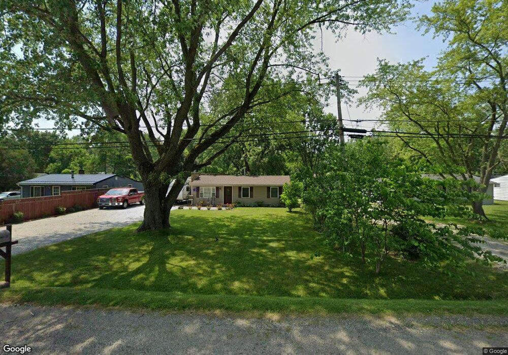
3066 State Route 303 Mantua, OH 44255
Estimated Value: $164,000 - $282,000
3
Beds
1
Bath
864
Sq Ft
$230/Sq Ft
Est. Value
About This Home
This home is located at 3066 State Route 303, Mantua, OH 44255 and is currently estimated at $199,028, approximately $230 per square foot. 3066 State Route 303 is a home located in Portage County with nearby schools including Crestwood Primary School, Crestwood Intermediate School, and Crestwood Middle School.
Ownership History
Date
Name
Owned For
Owner Type
Purchase Details
Closed on
Jul 14, 2001
Sold by
Jones Donald A and Jones Tammy D
Bought by
Taylor Matthew T and Taylor Leigh Ann
Current Estimated Value
Home Financials for this Owner
Home Financials are based on the most recent Mortgage that was taken out on this home.
Original Mortgage
$84,000
Interest Rate
7.22%
Mortgage Type
Balloon
Purchase Details
Closed on
May 27, 1987
Bought by
Jones Donald A
Create a Home Valuation Report for This Property
The Home Valuation Report is an in-depth analysis detailing your home's value as well as a comparison with similar homes in the area
Home Values in the Area
Average Home Value in this Area
Purchase History
| Date | Buyer | Sale Price | Title Company |
|---|---|---|---|
| Taylor Matthew T | $84,000 | Franklin Mills Title | |
| Jones Donald A | $42,000 | -- |
Source: Public Records
Mortgage History
| Date | Status | Borrower | Loan Amount |
|---|---|---|---|
| Closed | Taylor Matthew T | $84,000 |
Source: Public Records
Tax History Compared to Growth
Tax History
| Year | Tax Paid | Tax Assessment Tax Assessment Total Assessment is a certain percentage of the fair market value that is determined by local assessors to be the total taxable value of land and additions on the property. | Land | Improvement |
|---|---|---|---|---|
| 2024 | $2,458 | $47,040 | $9,870 | $37,170 |
| 2023 | $2,261 | $38,820 | $9,870 | $28,950 |
| 2022 | $2,279 | $38,820 | $9,870 | $28,950 |
| 2021 | $2,250 | $38,820 | $9,870 | $28,950 |
| 2020 | $1,930 | $29,960 | $9,870 | $20,090 |
| 2019 | $1,946 | $29,960 | $9,870 | $20,090 |
| 2018 | $1,826 | $26,640 | $9,870 | $16,770 |
| 2017 | $1,826 | $26,640 | $9,870 | $16,770 |
| 2016 | $1,785 | $26,640 | $9,870 | $16,770 |
| 2015 | $1,806 | $26,640 | $9,870 | $16,770 |
| 2014 | $1,821 | $26,640 | $9,870 | $16,770 |
| 2013 | $1,799 | $26,640 | $9,870 | $16,770 |
Source: Public Records
Map
Nearby Homes
- 3070 Polly Rd
- 2887 Shelly Rd
- 9416 Kieffer Rd
- 9329 Infirmary Rd Unit B1
- 2785 Fairfax St
- 10306 Winthrop Rd
- 2653 Fairfax St
- 9905 Creekside Way
- 10389 Wentworth Rd
- 1966 Summers Ave
- 9741 Eagle Ln Unit 9741
- V/L State Route 14
- 1735 Pike Pkwy
- 9324 Briar Dr
- 4437 State Route 303
- 8291 State Route 14
- 9091 State Route 44
- 1543 Manfrass Dr
- 1863 Dunlap Dr
- 1678 Duncan Way
- 3094 State Route 303
- 3058 State Route 303
- 3072 State Route 303
- 3080 State Route 303
- 3086 State Route 303
- 3038 State Route 303
- 3052 State Route 303
- 3057 State Route 303
- 3041 State Route 303
- 3024 State Route 303
- 3018 State Route 303
- 9312 Price Rd
- 0 State Route 303 Unit 3798298
- 0 State Route 303 Unit 4249203
- 0 State Route 303 Unit 4244968
- 0 State Route 303 Unit 4202018
- 0 State Route 303 Unit 4202007
- 0 State Route 303 Unit 4050117
- 3032 State Route 303
- 3037 Denny Rd