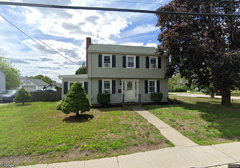
3067 Pawtucket Ave Riverside, RI 02915
Boyden Heights NeighborhoodEstimated Value: $447,000 - $508,000
3
Beds
2
Baths
1,696
Sq Ft
$277/Sq Ft
Est. Value
About This Home
This home is located at 3067 Pawtucket Ave, Riverside, RI 02915 and is currently estimated at $470,432, approximately $277 per square foot. 3067 Pawtucket Ave is a home located in Providence County with nearby schools including East Providence High School, St Mary Academy-Bay View, and The Gordon School.
Ownership History
Date
Name
Owned For
Owner Type
Purchase Details
Closed on
Sep 15, 1998
Sold by
Laferriere James B and Laferriere Ann T
Bought by
Brown Scott M and Musotic Monica L
Current Estimated Value
Home Financials for this Owner
Home Financials are based on the most recent Mortgage that was taken out on this home.
Original Mortgage
$114,450
Outstanding Balance
$23,876
Interest Rate
6.92%
Estimated Equity
$446,556
Create a Home Valuation Report for This Property
The Home Valuation Report is an in-depth analysis detailing your home's value as well as a comparison with similar homes in the area
Home Values in the Area
Average Home Value in this Area
Purchase History
| Date | Buyer | Sale Price | Title Company |
|---|---|---|---|
| Brown Scott M | $120,500 | -- |
Source: Public Records
Mortgage History
| Date | Status | Borrower | Loan Amount |
|---|---|---|---|
| Open | Brown Scott M | $21,700 | |
| Open | Brown Scott M | $114,450 |
Source: Public Records
Tax History Compared to Growth
Tax History
| Year | Tax Paid | Tax Assessment Tax Assessment Total Assessment is a certain percentage of the fair market value that is determined by local assessors to be the total taxable value of land and additions on the property. | Land | Improvement |
|---|---|---|---|---|
| 2025 | $5,523 | $422,600 | $151,000 | $271,600 |
| 2024 | $5,542 | $361,500 | $125,800 | $235,700 |
| 2023 | $5,336 | $361,500 | $125,800 | $235,700 |
| 2022 | $5,198 | $237,800 | $71,900 | $165,900 |
| 2021 | $5,113 | $237,800 | $71,300 | $166,500 |
| 2020 | $4,896 | $237,800 | $71,300 | $166,500 |
| 2019 | $4,761 | $237,800 | $71,300 | $166,500 |
| 2018 | $4,391 | $191,900 | $55,200 | $136,700 |
| 2017 | $4,293 | $191,900 | $55,200 | $136,700 |
| 2016 | $4,272 | $191,900 | $55,200 | $136,700 |
| 2015 | $4,452 | $194,000 | $51,100 | $142,900 |
| 2014 | $4,452 | $194,000 | $51,100 | $142,900 |
Source: Public Records
Map
Nearby Homes
- 14 Waterview Ave Unit 16
- 59 Merritt Rd
- 10 Fairfield Ave
- 50 Kettle Point Ave Unit 50
- 108 Ivan Ave
- 53 Wampanoag Trail
- 36 Gerald St
- 3421 Pawtucket Ave
- 740 Veterans Memorial Pkwy
- 87 Vincent Ave
- 6 Fuller Ave
- 180 Grassmere Ave
- 1463 S Broadway
- 25 Bullocks Point Ave Unit 5C
- 31 Bullocks Point Ave Unit 2A
- 43 Bullocks Point Ave Unit 4C
- 1 Fales St
- 74 Brookhaven Dr
- 25 Ide Ave
- 151 Willett Ave Unit 2
- 3073 Pawtucket Ave
- 10 Aberdeen Rd
- 3075 3077 Pawtucket Ave
- 16 Aberdeen Rd
- 13 Boyden Blvd
- 3075 Pawtucket Ave Unit 3077
- 3059 Pawtucket Ave
- 3059 Pawtucket Ave Unit 2
- 1 Aberdeen Rd
- 15 Aberdeen Rd
- 15 Boyden Blvd
- 20 Aberdeen Rd
- 3062 Pawtucket Ave
- 3051 Pawtucket Ave
- 3051 Pawtucket Ave
- 12 Boyden Blvd
- 10 Bond Rd
- 21 Aberdeen Rd
- 13 Brookfield Rd
- 25 Boyden Blvd