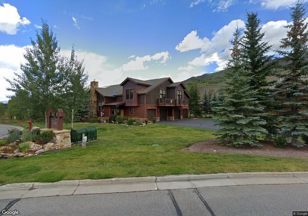
307 Bald Eagle Rd Silverthorne, CO 80498
Estimated Value: $1,688,000 - $1,939,323
3
Beds
4
Baths
2,423
Sq Ft
$754/Sq Ft
Est. Value
About This Home
This home is located at 307 Bald Eagle Rd, Silverthorne, CO 80498 and is currently estimated at $1,827,831, approximately $754 per square foot. 307 Bald Eagle Rd is a home located in Summit County with nearby schools including Silverthorne Elementary School, Summit Middle School, and Summit High School.
Ownership History
Date
Name
Owned For
Owner Type
Purchase Details
Closed on
Jul 30, 2021
Sold by
Mcclurg Mark A
Bought by
Marten John T and Morehead Debra
Current Estimated Value
Home Financials for this Owner
Home Financials are based on the most recent Mortgage that was taken out on this home.
Original Mortgage
$1,102,500
Outstanding Balance
$999,478
Interest Rate
2.7%
Mortgage Type
New Conventional
Estimated Equity
$828,353
Purchase Details
Closed on
Mar 31, 2008
Sold by
Angler Mountain Llc
Bought by
Mcclurg Mark A and Mcclurg Susan L
Create a Home Valuation Report for This Property
The Home Valuation Report is an in-depth analysis detailing your home's value as well as a comparison with similar homes in the area
Home Values in the Area
Average Home Value in this Area
Purchase History
| Date | Buyer | Sale Price | Title Company |
|---|---|---|---|
| Marten John T | $1,575,000 | New Title Company Name | |
| Mcclurg Mark A | $739,000 | Stewart Title |
Source: Public Records
Mortgage History
| Date | Status | Borrower | Loan Amount |
|---|---|---|---|
| Open | Marten John T | $1,102,500 |
Source: Public Records
Tax History
| Year | Tax Paid | Tax Assessment Tax Assessment Total Assessment is a certain percentage of the fair market value that is determined by local assessors to be the total taxable value of land and additions on the property. | Land | Improvement |
|---|---|---|---|---|
| 2024 | $5,584 | $107,046 | -- | -- |
| 2023 | $5,584 | $103,361 | $0 | $0 |
| 2022 | $3,968 | $69,451 | $0 | $0 |
| 2021 | $4,003 | $71,450 | $0 | $0 |
| 2020 | $3,595 | $68,541 | $0 | $0 |
| 2019 | $3,545 | $68,541 | $0 | $0 |
| 2018 | $3,276 | $57,336 | $0 | $0 |
| 2017 | $3,662 | $57,336 | $0 | $0 |
| 2016 | $3,620 | $56,047 | $0 | $0 |
| 2015 | $3,532 | $56,047 | $0 | $0 |
| 2014 | $2,965 | $46,582 | $0 | $0 |
| 2013 | -- | $46,582 | $0 | $0 |
Source: Public Records
Map
Nearby Homes
- 468 Fly Line Dr
- 28 Damselfly
- 84 Mayfly Dr
- 70 Mayfly Dr
- 70 Mayfly Dr Unit 3
- 35 Mayfly Dr
- 113 Badger Ct
- 104 Talon Cir
- 107 Mountain Vista Ln
- 50 Fly Caster Ln
- 1347 Rainbow Dr
- 1813 Stellar Dr
- 2206 Hamilton Creek Rd
- 65 Aerie Dr
- 279 Kestrel Ln Unit 279
- 345 N Chipmunk Cir
- 1730 Red Hawk Rd
- 432 Bighorn Cir
- 52 Lantern Aly Unit 52
- 312 Kestrel Ln Unit 312
- 307 Bald Eagle Rd Unit 307
- 305 Bald Eagle Rd
- 325 Bald Eagle Rd
- 189 Fly Line Dr Unit 27A
- 191 Fly Line Dr Unit 27B
- 179 Fly Line Dr Unit 26B
- 177 Fly Line Dr Unit A
- 177 Fly Line Dr Unit 26A
- 335 Bald Eagle Rd
- 199 Fly Line Dr Unit 28A
- 345 Bald Eagle Rd
- 201 Fly Line Dr Unit 28B
- 153 Fly Line Dr Unit 25A
- 155 Fly Line Dr Unit 25B
- 349 Bald Eagle Rd
- 213 Fly Line Dr Unit 29A
- 143 Fly Line Dr Unit 24B
- 215 Fly Line Dr Unit 29B
- 215 Fly Line Dr Unit N
- 215 Fly Line Dr
Your Personal Tour Guide
Ask me questions while you tour the home.