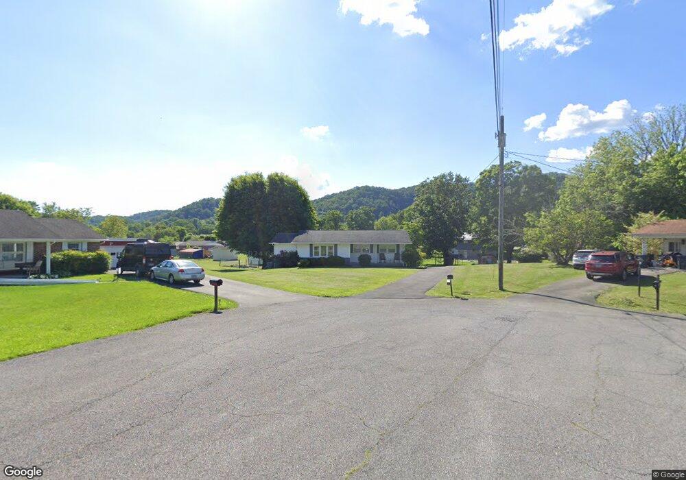
307 Circle Dr Bristol, TN 37620
Estimated Value: $172,173 - $242,000
Studio
1
Bath
1,324
Sq Ft
$164/Sq Ft
Est. Value
About This Home
This home is located at 307 Circle Dr, Bristol, TN 37620 and is currently estimated at $217,793, approximately $164 per square foot. 307 Circle Dr is a home located in Sullivan County with nearby schools including Avoca Elementary School, Vance Middle School, and Tennessee High School.
Ownership History
Date
Name
Owned For
Owner Type
Purchase Details
Closed on
Mar 15, 2013
Sold by
Franklin Larry W
Bought by
Faris Joyce F
Current Estimated Value
Home Financials for this Owner
Home Financials are based on the most recent Mortgage that was taken out on this home.
Original Mortgage
$63,997
Outstanding Balance
$28,877
Interest Rate
3.57%
Mortgage Type
Commercial
Estimated Equity
$188,916
Purchase Details
Closed on
Dec 18, 2012
Sold by
Franklin Lawrence M
Bought by
Faris Joyce F and O Helen M Frankli C
Create a Home Valuation Report for This Property
The Home Valuation Report is an in-depth analysis detailing your home's value as well as a comparison with similar homes in the area
Purchase History
| Date | Buyer | Sale Price | Title Company |
|---|---|---|---|
| Faris Joyce F | -- | -- | |
| Faris Joyce F | -- | -- |
Source: Public Records
Mortgage History
| Date | Status | Borrower | Loan Amount |
|---|---|---|---|
| Open | Faris Joyce F | $63,997 |
Source: Public Records
Tax History
| Year | Tax Paid | Tax Assessment Tax Assessment Total Assessment is a certain percentage of the fair market value that is determined by local assessors to be the total taxable value of land and additions on the property. | Land | Improvement |
|---|---|---|---|---|
| 2025 | -- | $48,450 | $5,825 | $42,625 |
| 2024 | -- | $25,075 | $2,950 | $22,125 |
| 2023 | $1,101 | $25,075 | $2,950 | $22,125 |
| 2022 | $1,101 | $25,075 | $2,950 | $22,125 |
| 2021 | $1,101 | $25,075 | $2,950 | $22,125 |
| 2020 | $1,134 | $25,075 | $2,950 | $22,125 |
| 2019 | $1,134 | $23,975 | $2,950 | $21,025 |
| 2018 | $1,129 | $23,975 | $2,950 | $21,025 |
| 2017 | $1,129 | $23,975 | $2,950 | $21,025 |
| 2016 | $1,197 | $24,800 | $2,950 | $21,850 |
| 2014 | $1,129 | $24,791 | $0 | $0 |
Source: Public Records
Map
Nearby Homes
- 621 San Antonio Dr
- 555 Hickory Rd
- 521 Hickory Rd
- 312 Sunnybrook Dr
- 508 Hickory Rd
- 306 Summerwood Dr
- 210 Hemlock Rd
- Tbd Volunteer Pkwy
- 400 Martindale Rd
- 1026 Deer Harbour Rd
- 302 Martindale Rd
- 2118 King College Rd
- 1120 Barber Rd
- 3253 Avoca Rd
- 3257 Avoca Rd
- 18 Ross St
- 208 Lynfield Rd
- 100 Martindale Rd
- 103 Martindale Rd
- 435 Shelby Ln
- 305 Circle Dr
- 205 Blue Ridge Dr
- 306 Circle Dr
- 207 Blue Ridge Dr
- 212 Fairacres Dr
- 210 Fairacres Dr
- 203 Blue Ridge Dr
- 209 Blue Ridge Dr
- 304 Circle Dr
- 303 Circle Dr
- 201 Blue Ridge Dr
- 208 Fairacres Dr
- 211 Blue Ridge Dr
- 214 Fairacres Dr
- 302 Circle Dr
- 109 Blue Ridge Dr
- 107 Blue Ridge Dr
- 301 Circle Dr
- 105 Blue Ridge Dr
- 206 Fairacres Dr
Your Personal Tour Guide
Ask me questions while you tour the home.