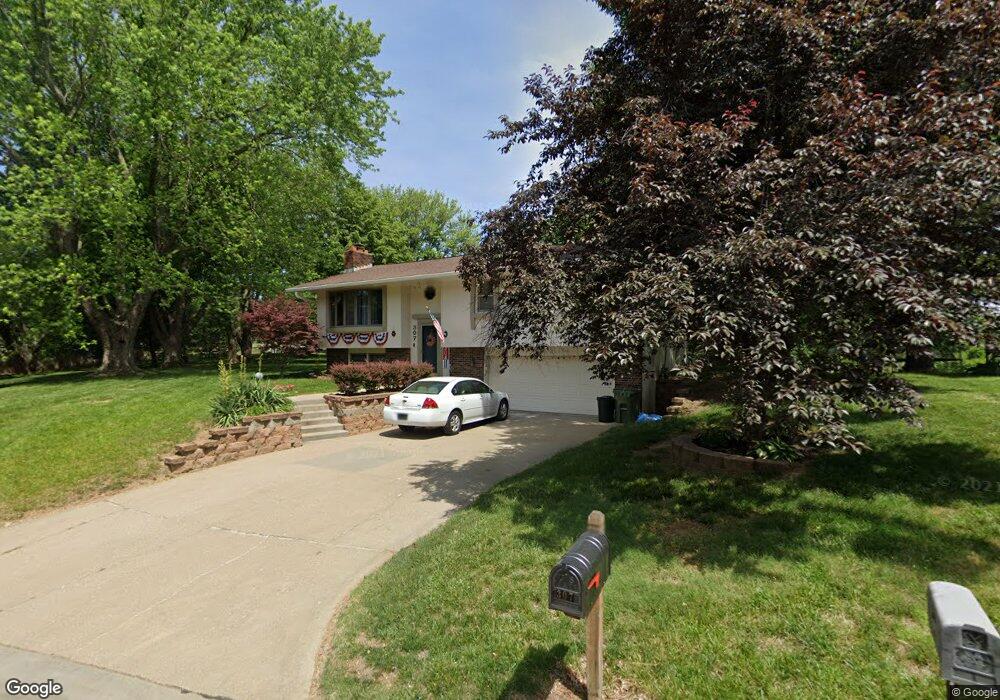
307 E Florence Ave Glenwood, IA 51534
Estimated Value: $246,000 - $298,000
3
Beds
3
Baths
1,276
Sq Ft
$216/Sq Ft
Est. Value
About This Home
This home is located at 307 E Florence Ave, Glenwood, IA 51534 and is currently estimated at $275,642, approximately $216 per square foot. 307 E Florence Ave is a home located in Mills County with nearby schools including Northeast Elementary School, West Elementary School, and Glenwood Middle School.
Ownership History
Date
Name
Owned For
Owner Type
Purchase Details
Closed on
Oct 26, 2020
Sold by
Skinner R Bradley and Burwell Family Trust
Bought by
Carman Troy S and Carman Cecillia L
Current Estimated Value
Home Financials for this Owner
Home Financials are based on the most recent Mortgage that was taken out on this home.
Original Mortgage
$216,015
Outstanding Balance
$192,134
Interest Rate
2.9%
Mortgage Type
FHA
Estimated Equity
$83,508
Create a Home Valuation Report for This Property
The Home Valuation Report is an in-depth analysis detailing your home's value as well as a comparison with similar homes in the area
Home Values in the Area
Average Home Value in this Area
Purchase History
| Date | Buyer | Sale Price | Title Company |
|---|---|---|---|
| Carman Troy S | -- | None Available |
Source: Public Records
Mortgage History
| Date | Status | Borrower | Loan Amount |
|---|---|---|---|
| Open | Carman Troy S | $216,015 |
Source: Public Records
Tax History Compared to Growth
Tax History
| Year | Tax Paid | Tax Assessment Tax Assessment Total Assessment is a certain percentage of the fair market value that is determined by local assessors to be the total taxable value of land and additions on the property. | Land | Improvement |
|---|---|---|---|---|
| 2025 | $4,328 | $287,287 | $49,500 | $237,787 |
| 2024 | $4,328 | $258,085 | $49,500 | $208,585 |
| 2023 | $4,532 | $254,286 | $33,000 | $221,286 |
| 2022 | $4,364 | $212,460 | $33,000 | $179,460 |
| 2021 | $3,950 | $209,989 | $33,000 | $176,989 |
| 2020 | $3,950 | $182,760 | $33,000 | $149,760 |
| 2019 | $3,618 | $169,145 | $0 | $0 |
| 2018 | $3,540 | $169,145 | $0 | $0 |
| 2017 | $3,300 | $162,395 | $0 | $0 |
| 2016 | $2,992 | $162,395 | $0 | $0 |
| 2015 | $2,994 | $162,395 | $0 | $0 |
| 2014 | $2,978 | $162,395 | $0 | $0 |
Source: Public Records
Map
Nearby Homes
- 316 Louise Ave
- 1103 N Locust St
- 314 10th St
- 910 N Locust St
- 103 W Florence Ave
- 123 Hillcrest Ave
- 200 10th St
- 1113 Arbor Ln
- 1115 Arbor Ln
- 608 N Locust St
- 605 N Locust St
- 12 Pinehurst Cir
- 102 Shamrock Cir
- 410 N Vine St
- 407 N Myrtle St
- 122.46 Acres 230th St
- 57162 225th St
- 311 N Grove St
- 22475 Grande View Ave
- 111 N Chestnut St
- 305 E Florence Ave
- 255 W Florence Ave
- 304 E Florence Ave
- 303 E Florence Ave
- 253 W Florence Ave
- 216 E Florence Ave
- 1031 N Walnut St
- 252 W Florence Ave
- 1033 N Walnut St
- 301 E Florence Ave
- 251 W Florence Ave
- 250 W Florence Ave
- 1029 N Walnut St
- 214 E Florence Ave
- 249 W Florence Ave
- 248 W Florence Ave
- 1032 N Walnut St
- 1027 N Walnut St
- 1025 N Walnut St
- 212 E Florence Ave