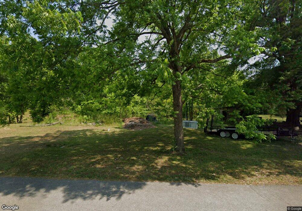
307 Fowlertown Rd Toccoa, GA 30577
Estimated Value: $75,000 - $224,000
2
Beds
1
Bath
936
Sq Ft
$157/Sq Ft
Est. Value
About This Home
This home is located at 307 Fowlertown Rd, Toccoa, GA 30577 and is currently estimated at $146,568, approximately $156 per square foot. 307 Fowlertown Rd is a home located in Stephens County with nearby schools including Stephens County High School.
Ownership History
Date
Name
Owned For
Owner Type
Purchase Details
Closed on
Mar 28, 2024
Sold by
Merck Miriam Miranda
Bought by
Crawford Jerry
Current Estimated Value
Purchase Details
Closed on
Aug 29, 2023
Sold by
Baker Miriam Miranda
Bought by
Cannon Lenwood
Purchase Details
Closed on
Aug 23, 2023
Sold by
Cannon Lenwood
Bought by
Cannon Dorothy A and Cannon Lenwood
Purchase Details
Closed on
Sep 30, 2020
Sold by
Powers Manda Michelle
Bought by
Merck Miriam Miranda
Purchase Details
Closed on
Jun 27, 2019
Sold by
Powers Michelle
Bought by
Baker Wanda
Create a Home Valuation Report for This Property
The Home Valuation Report is an in-depth analysis detailing your home's value as well as a comparison with similar homes in the area
Purchase History
| Date | Buyer | Sale Price | Title Company |
|---|---|---|---|
| Crawford Jerry | -- | -- | |
| Cannon Lenwood | $34,000 | -- | |
| Cannon Dorothy A | -- | -- | |
| Merck Miriam Miranda | -- | -- | |
| Baker Wanda | -- | -- | |
| Baker Wanda | -- | -- | |
| Baker Wanda | -- | -- | |
| Baker Wanda | -- | -- | |
| Baker Wanda | -- | -- |
Source: Public Records
Tax History Compared to Growth
Tax History
| Year | Tax Paid | Tax Assessment Tax Assessment Total Assessment is a certain percentage of the fair market value that is determined by local assessors to be the total taxable value of land and additions on the property. | Land | Improvement |
|---|---|---|---|---|
| 2025 | $1,079 | $48,018 | $5,012 | $43,006 |
| 2024 | $969 | $33,808 | $4,832 | $28,976 |
| 2023 | $366 | $32,007 | $4,832 | $27,175 |
| 2022 | $861 | $30,921 | $4,832 | $26,089 |
| 2021 | $899 | $28,748 | $4,832 | $23,916 |
| 2020 | $907 | $28,731 | $4,832 | $23,899 |
| 2019 | $911 | $28,731 | $4,832 | $23,899 |
| 2018 | $0 | $28,733 | $4,832 | $23,901 |
| 2017 | $0 | $28,733 | $4,832 | $23,901 |
| 2016 | -- | $28,732 | $4,831 | $23,901 |
Source: Public Records
Map
Nearby Homes
- 151 Richardson St
- 97 Hillside Dr
- 1387 Mize Rd
- 1037 S Pond St
- 943 S Pond St
- 537 Jordan Rd
- 168 Yearwood St
- 398 Valley Dr
- 372 Hilltop Way
- 0 Valley Dr Unit 7675761
- 0 Valley Dr Unit 10600268
- 574 S Sage St
- 294 Stancil Dr
- 475 Hilltop Way
- 500 S Pond St
- 98 Wood St
- 478 S Pond St
- 48 Owen St
- 11 Cloverhurst Dr
- 128 Branch St
- 184 Matheson Rd
- 138 Matheson Rd
- 341 Fowlertown Rd
- 284 Fowlertown Rd
- 17 Malaki Dr
- 346 Fowlertown Rd
- 346 Fowlertown Rd
- 360 Fowlertown Rd
- 197 Matheson Rd
- 149 Matheson Rd
- 199 Matheson Rd
- 169 Matheson Rd
- 226 Fowlertown Rd
- 332 Fowlertown Rd
- 429 Fowlertown Rd
- 254 Fowlertown Rd
- 135 Matheson Rd
- 22 Range Dr
- 206 Fowlertown Rd
- 206 Fowlertown Rd
