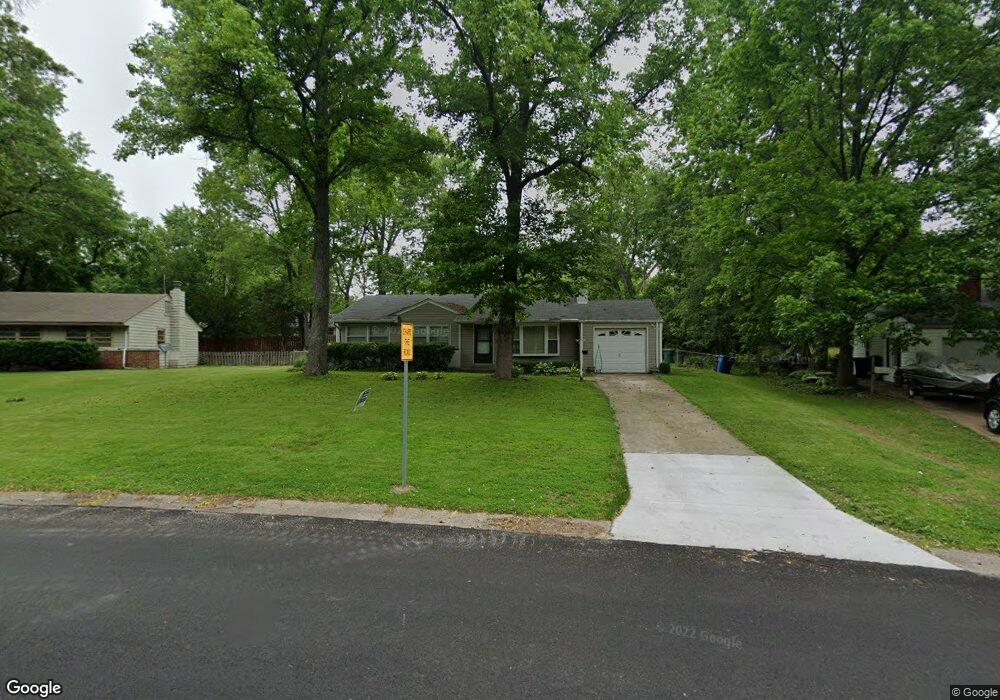
307 Frost Ave Saint Louis, MO 63135
Estimated Value: $128,830 - $161,000
3
Beds
2
Baths
1,191
Sq Ft
$120/Sq Ft
Est. Value
About This Home
This home is located at 307 Frost Ave, Saint Louis, MO 63135 and is currently estimated at $142,708, approximately $119 per square foot. 307 Frost Ave is a home located in St. Louis County with nearby schools including Ferguson Middle School, Johnson Wabash Elementary School, and McCluer High School.
Ownership History
Date
Name
Owned For
Owner Type
Purchase Details
Closed on
Aug 28, 2009
Sold by
Millsap Melanie
Bought by
Sharpe Orlando and Sharpe Gail
Current Estimated Value
Home Financials for this Owner
Home Financials are based on the most recent Mortgage that was taken out on this home.
Original Mortgage
$83,460
Outstanding Balance
$54,555
Interest Rate
5.26%
Mortgage Type
FHA
Estimated Equity
$88,153
Purchase Details
Closed on
May 1, 2009
Sold by
Mullins Jessica
Bought by
Millsap Melanie
Purchase Details
Closed on
Jul 14, 2006
Sold by
Foster Ethan B
Bought by
Mullins Jessica Lee
Home Financials for this Owner
Home Financials are based on the most recent Mortgage that was taken out on this home.
Original Mortgage
$119,300
Interest Rate
6.78%
Mortgage Type
FHA
Purchase Details
Closed on
Jun 28, 2000
Sold by
Smith Maureen S
Bought by
Foster Ethan B
Create a Home Valuation Report for This Property
The Home Valuation Report is an in-depth analysis detailing your home's value as well as a comparison with similar homes in the area
Home Values in the Area
Average Home Value in this Area
Purchase History
| Date | Buyer | Sale Price | Title Company |
|---|---|---|---|
| Sharpe Orlando | $85,000 | None Available | |
| Millsap Melanie | -- | None Available | |
| Mullins Jessica Lee | $121,437 | None Available | |
| Foster Ethan B | $70,900 | -- | |
| Foster Ethan B | $70,900 | -- |
Source: Public Records
Mortgage History
| Date | Status | Borrower | Loan Amount |
|---|---|---|---|
| Open | Sharpe Orlando | $83,460 | |
| Previous Owner | Mullins Jessica Lee | $119,300 |
Source: Public Records
Tax History Compared to Growth
Tax History
| Year | Tax Paid | Tax Assessment Tax Assessment Total Assessment is a certain percentage of the fair market value that is determined by local assessors to be the total taxable value of land and additions on the property. | Land | Improvement |
|---|---|---|---|---|
| 2025 | $1,248 | $25,960 | $4,960 | $21,000 |
| 2024 | $1,248 | $17,120 | $5,720 | $11,400 |
| 2023 | $1,241 | $17,120 | $5,720 | $11,400 |
| 2022 | $1,457 | $17,580 | $3,820 | $13,760 |
| 2021 | $1,410 | $17,580 | $3,820 | $13,760 |
| 2020 | $1,326 | $14,840 | $3,020 | $11,820 |
| 2019 | $1,301 | $14,840 | $3,020 | $11,820 |
| 2018 | $1,240 | $12,600 | $2,700 | $9,900 |
| 2017 | $1,215 | $12,600 | $2,700 | $9,900 |
| 2016 | $1,351 | $13,820 | $2,700 | $11,120 |
| 2015 | $1,360 | $13,820 | $2,700 | $11,120 |
| 2014 | $1,290 | $12,940 | $3,550 | $9,390 |
Source: Public Records
Map
Nearby Homes
- 18 White Dr
- 16 White Dr
- 231 Wooster Dr
- 222 Wooster Dr
- 13 Cady Dr
- 116 Grether Ave
- 6640 Thurston Ave
- 135 Grether Ave
- 6717 Thurston Ave
- 110 Young Dr
- 15 Lake Pembroke Dr
- 6612 Torlina Dr
- 6616 Dunwold Dr
- 614 January Ave
- 230 Anistasia Dr
- 135 Anistasia Dr
- 217 Anistasia Dr
- 601 Chanslor Ave
- 6605 Carol Lee Dr
- 439 Warford Ave