307 Laurali Dr Kennett Square, PA 19348
Estimated Value: $1,530,626 - $1,859,000
5
Beds
5
Baths
6,060
Sq Ft
$280/Sq Ft
Est. Value
About This Home
This home is located at 307 Laurali Dr, Kennett Square, PA 19348 and is currently estimated at $1,695,407, approximately $279 per square foot. 307 Laurali Dr is a home located in Chester County with nearby schools including Unionville Elementary School, Charles F. Patton Middle School, and Unionville High School.
Ownership History
Date
Name
Owned For
Owner Type
Purchase Details
Closed on
Nov 21, 2008
Sold by
Cope & Pearson Development Lp
Bought by
Mann Carey and Camateros Fanny
Current Estimated Value
Home Financials for this Owner
Home Financials are based on the most recent Mortgage that was taken out on this home.
Original Mortgage
$600,000
Outstanding Balance
$394,438
Interest Rate
6.11%
Mortgage Type
Purchase Money Mortgage
Estimated Equity
$1,300,969
Create a Home Valuation Report for This Property
The Home Valuation Report is an in-depth analysis detailing your home's value as well as a comparison with similar homes in the area
Home Values in the Area
Average Home Value in this Area
Purchase History
| Date | Buyer | Sale Price | Title Company |
|---|---|---|---|
| Mann Carey | $1,215,581 | None Available |
Source: Public Records
Mortgage History
| Date | Status | Borrower | Loan Amount |
|---|---|---|---|
| Open | Mann Carey | $600,000 |
Source: Public Records
Tax History Compared to Growth
Tax History
| Year | Tax Paid | Tax Assessment Tax Assessment Total Assessment is a certain percentage of the fair market value that is determined by local assessors to be the total taxable value of land and additions on the property. | Land | Improvement |
|---|---|---|---|---|
| 2025 | $20,792 | $558,170 | $115,820 | $442,350 |
| 2024 | $20,792 | $558,170 | $115,820 | $442,350 |
| 2023 | $20,111 | $558,170 | $115,820 | $442,350 |
| 2022 | $19,682 | $558,170 | $115,820 | $442,350 |
| 2021 | $19,185 | $558,170 | $115,820 | $442,350 |
| 2020 | $19,134 | $558,170 | $115,820 | $442,350 |
| 2019 | $18,754 | $557,670 | $115,820 | $441,850 |
| 2018 | $18,698 | $557,670 | $115,820 | $441,850 |
| 2017 | $18,297 | $557,670 | $115,820 | $441,850 |
| 2016 | $2,145 | $557,670 | $115,820 | $441,850 |
| 2015 | $2,145 | $557,670 | $115,820 | $441,850 |
| 2014 | $2,145 | $557,670 | $115,820 | $441,850 |
Source: Public Records
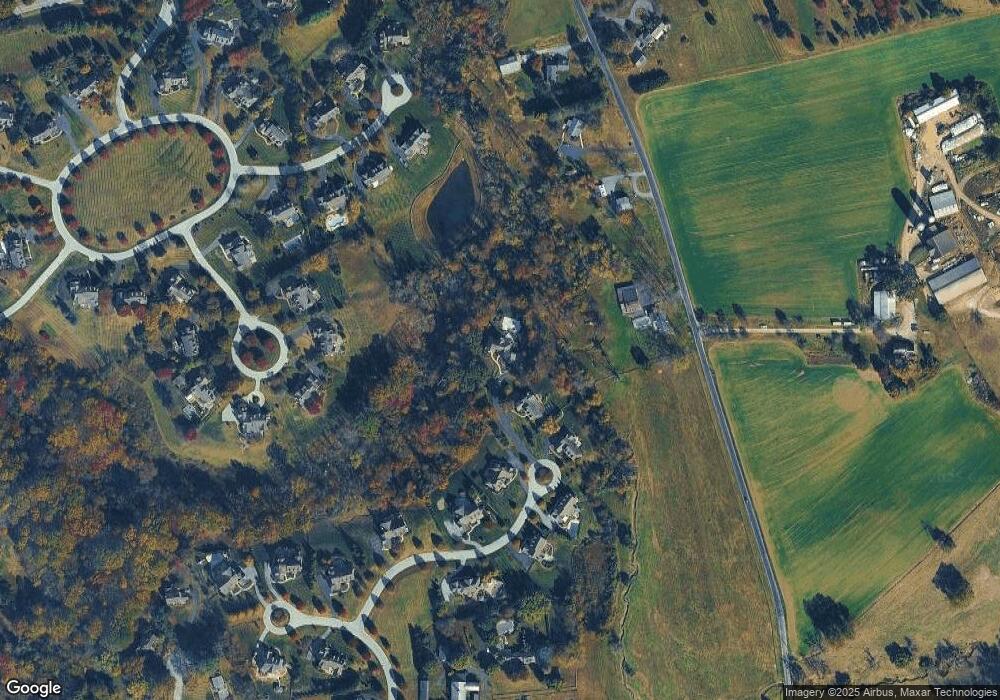
Map
Nearby Homes
- 907 Unionville Wawaset Rd
- 1053 Unionville Wawaset Rd
- 101 Bailey Cir
- 113 Lantana Dr
- 1776 W Doe Run Rd
- 907 Mitchell Farm Ln
- 1050 Glen Hall Rd
- 2039-2035 Lenape Unionville Rd
- 347 Astilbe Dr
- 102 Manor Dr
- 505 Wisteria Dr
- 454 Larkspur Dr
- 213 Katsura Dr
- 765 Folly Hill Rd
- 186 Bragg Hill Rd
- 0 Haines Mill Rd
- 312 Riverbirch Cir Unit 802
- 741 Haines Mill Rd
- 820 Waverly Rd
- 323 E Street Rd
- 305 Laurali Dr
- 939 Marlboro Spring Rd
- 304 Laurali Dr
- 303 Laurali Dr
- 941 Marlboro Spring Rd
- 302 Laurali Dr
- 405 Wynchester Way
- 301 Laurali Dr
- 407 Wynchester Way
- 204 Kimberwyck Way
- 206 Kimberwyck Way
- 300 Laurali Dr
- 943 Marlboro Spring Rd
- 403 Wynchester Way
- 203 Laurali Dr
- 945 Marlboro Spring Rd
- 204 Laurali Dr
- 200 Kimberwyck Way
- Lot 37 Wynchester Way
- 406 Wynchester Way