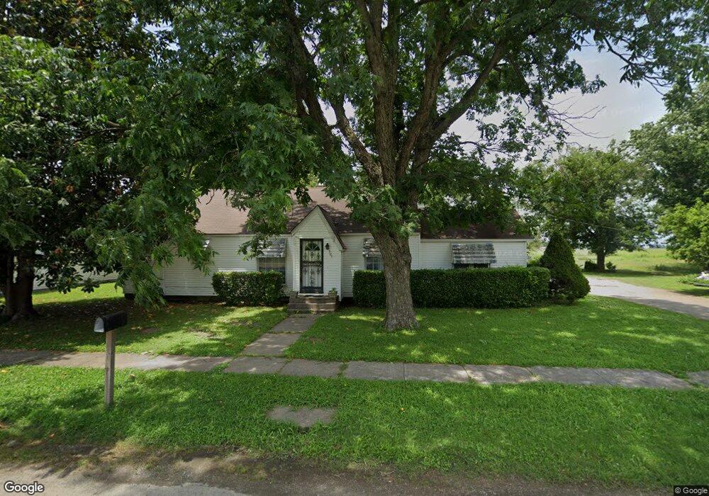
307 N 1st St Steele, MO 63877
Estimated Value: $67,121 - $179,000
Studio
--
Bath
2,202
Sq Ft
$59/Sq Ft
Est. Value
About This Home
This home is located at 307 N 1st St, Steele, MO 63877 and is currently estimated at $129,280, approximately $58 per square foot. 307 N 1st St is a home with nearby schools including Central Elementary School and South Pemiscot High School.
Ownership History
Date
Name
Owned For
Owner Type
Purchase Details
Closed on
May 12, 2009
Sold by
Whitfield Sherill J
Bought by
Brown Jack and Brown Virginia
Current Estimated Value
Home Financials for this Owner
Home Financials are based on the most recent Mortgage that was taken out on this home.
Original Mortgage
$24,750
Outstanding Balance
$15,503
Interest Rate
4.77%
Mortgage Type
Future Advance Clause Open End Mortgage
Estimated Equity
$113,777
Purchase Details
Closed on
May 7, 2009
Sold by
Whitfield Sherill J
Bought by
Brown Jack and Brown Virginia
Home Financials for this Owner
Home Financials are based on the most recent Mortgage that was taken out on this home.
Original Mortgage
$24,750
Outstanding Balance
$15,503
Interest Rate
4.77%
Mortgage Type
Future Advance Clause Open End Mortgage
Estimated Equity
$113,777
Purchase Details
Closed on
Oct 6, 2008
Sold by
Estate Of Eunice Andrew Johnson Hill
Bought by
Brown Jack and Brown Virginia
Create a Home Valuation Report for This Property
The Home Valuation Report is an in-depth analysis detailing your home's value as well as a comparison with similar homes in the area
Purchase History
| Date | Buyer | Sale Price | Title Company |
|---|---|---|---|
| Brown Jack | -- | -- | |
| Brown Jack | -- | None Avaliable | |
| Brown Jack | -- | -- |
Source: Public Records
Mortgage History
| Date | Status | Borrower | Loan Amount |
|---|---|---|---|
| Open | Brown Jack | $24,750 | |
| Closed | Brown Jack | $24,750 |
Source: Public Records
Tax History
| Year | Tax Paid | Tax Assessment Tax Assessment Total Assessment is a certain percentage of the fair market value that is determined by local assessors to be the total taxable value of land and additions on the property. | Land | Improvement |
|---|---|---|---|---|
| 2025 | $519 | $9,530 | $0 | $0 |
| 2024 | $5 | $9,160 | $0 | $0 |
| 2023 | $516 | $9,160 | $0 | $0 |
| 2022 | $463 | $8,240 | $0 | $0 |
| 2020 | $473 | $8,240 | $0 | $0 |
| 2019 | $441 | $8,240 | $0 | $0 |
| 2018 | $437 | $8,240 | $0 | $0 |
| 2017 | $440 | $8,240 | $0 | $0 |
| 2016 | -- | $8,260 | $0 | $0 |
| 2015 | -- | $8,260 | $0 | $0 |
| 2013 | -- | $8,260 | $0 | $0 |
Source: Public Records
Map
Nearby Homes
- 0 Missouri 164
- 317 Main St
- 312 Missouri St
- 107 Chickasaw St
- 2131 State Highway Z
- 3337 E County Road 70
- 0 County Road 406
- 5024 N 6th St
- 0 Highway 412
- 835 Missouri 84
- 1014 S Klinkhardt St
- 203 E Plum St
- 1205 Ward
- 3201 S Ward Ave
- 1701 Eastgate St
- 1708 N 10th St
- O Brock St
- 0 W Washington St
- 1013 & 1108 Normandy Ln Unit 721 W Adams St, 100
- 122 Brock St
Your Personal Tour Guide
Ask me questions while you tour the home.