Estimated Value: $247,000 - $289,000
3
Beds
2
Baths
1,432
Sq Ft
$182/Sq Ft
Est. Value
About This Home
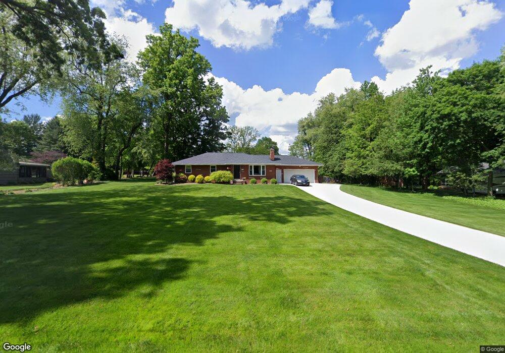
This home is located at 307 N Messner Rd, Akron, OH 44319 and is currently estimated at $260,874, approximately $182 per square foot. 307 N Messner Rd is a home located in Summit County.
Ownership History
Date
Name
Owned For
Owner Type
Purchase Details
Closed on
Jun 10, 2010
Sold by
Donatelli Frances J and Palmeri William D
Bought by
Cole Robert M
Current Estimated Value
Home Financials for this Owner
Home Financials are based on the most recent Mortgage that was taken out on this home.
Original Mortgage
$92,000
Outstanding Balance
$62,141
Interest Rate
5.13%
Mortgage Type
New Conventional
Estimated Equity
$198,733
Purchase Details
Closed on
Oct 3, 2003
Sold by
Palmeri Wanda
Bought by
Donatelli Frances J and Palmeri William D
Create a Home Valuation Report for This Property
The Home Valuation Report is an in-depth analysis detailing your home's value as well as a comparison with similar homes in the area
Home Values in the Area
Average Home Value in this Area
Purchase History
| Date | Buyer | Sale Price | Title Company |
|---|---|---|---|
| Cole Robert M | $115,000 | Kingdom Title | |
| Donatelli Frances J | -- | -- |
Source: Public Records
Mortgage History
| Date | Status | Borrower | Loan Amount |
|---|---|---|---|
| Open | Cole Robert M | $92,000 |
Source: Public Records
Tax History Compared to Growth
Tax History
| Year | Tax Paid | Tax Assessment Tax Assessment Total Assessment is a certain percentage of the fair market value that is determined by local assessors to be the total taxable value of land and additions on the property. | Land | Improvement |
|---|---|---|---|---|
| 2025 | $3,955 | $79,220 | $21,494 | $57,726 |
| 2024 | $3,955 | $79,220 | $21,494 | $57,726 |
| 2023 | $3,955 | $79,220 | $21,494 | $57,726 |
| 2022 | $3,600 | $56,183 | $15,243 | $40,940 |
| 2021 | $3,613 | $56,183 | $15,243 | $40,940 |
| 2020 | $3,550 | $56,180 | $15,240 | $40,940 |
| 2019 | $3,526 | $50,000 | $12,350 | $37,650 |
| 2018 | $3,042 | $50,000 | $12,350 | $37,650 |
| 2017 | $2,946 | $50,000 | $12,350 | $37,650 |
| 2016 | $2,912 | $43,880 | $12,350 | $31,530 |
| 2015 | $2,946 | $43,880 | $12,350 | $31,530 |
| 2014 | $2,924 | $43,880 | $12,350 | $31,530 |
| 2013 | $3,149 | $47,560 | $12,350 | $35,210 |
Source: Public Records
Map
Nearby Homes
- 451 Yager Rd
- 427 Center Rd
- 715 Highland Park Dr
- 5776 Harter Home Dr
- 781 Leeman Dr
- S/L 14,15 Shakes Hotel Dr
- 6407 Southview Dr
- 4 Shrakes Hotel Dr
- 6 Shrakes Hotel Dr
- 7 Shrakes Hotel Dr
- 5 Shrakes Hotel Dr
- 3 Shrakes Hotel Dr
- 4881 S Main St
- 4831 Christman Rd
- 4944 Coleman Dr
- 6090 Manchester Rd Unit 6096
- 5892 Woodward Dr
- 899 Loway Dr
- 1062 Stump Rd
- lot 8 Whyem Dr
- 323 N Messner Rd
- 291 N Messner Rd
- 331 N Messner Rd
- 341 N Messner Rd
- 272 N Messner Rd
- 200 W Nimisila Rd
- 318 N Messner Rd
- 262 N Messner Rd
- 224 W Nimisila Rd
- 324 N Messner Rd
- 281 N Messner Rd
- 166 W Nimisila Rd
- 271 N Messner Rd
- 340 N Messner Rd
- 230 W Nimisila Rd
- 230 W Nimisila Rd
- 212 W Nimisila Rd
- 240 N Messner Rd Unit 244
- 361 N Messner Rd
- 350 N Messner Rd