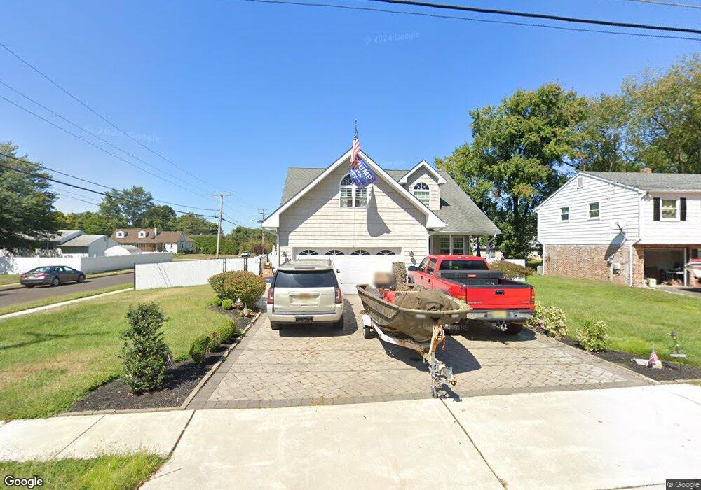
307 Roosevelt Blvd Thorofare, NJ 08086
West Deptford Township NeighborhoodEstimated Value: $398,000 - $447,000
3
Beds
3
Baths
1,919
Sq Ft
$224/Sq Ft
Est. Value
About This Home
This home is located at 307 Roosevelt Blvd, Thorofare, NJ 08086 and is currently estimated at $430,250, approximately $224 per square foot. 307 Roosevelt Blvd is a home located in Gloucester County with nearby schools including Red Bank Elementary School, Oakview Elementary School, and Green-Fields Elementary School.
Ownership History
Date
Name
Owned For
Owner Type
Purchase Details
Closed on
Jun 13, 2016
Sold by
Vickery Scott
Bought by
Mace Ryan A
Current Estimated Value
Home Financials for this Owner
Home Financials are based on the most recent Mortgage that was taken out on this home.
Original Mortgage
$243,508
Outstanding Balance
$192,532
Interest Rate
3.37%
Mortgage Type
FHA
Estimated Equity
$237,718
Purchase Details
Closed on
Oct 1, 2004
Sold by
Forman Carromelle H and Forman Carromeli H
Bought by
Vickery Scott
Create a Home Valuation Report for This Property
The Home Valuation Report is an in-depth analysis detailing your home's value as well as a comparison with similar homes in the area
Home Values in the Area
Average Home Value in this Area
Purchase History
| Date | Buyer | Sale Price | Title Company |
|---|---|---|---|
| Mace Ryan A | $248,000 | None Available | |
| Vickery Scott | $65,000 | Group 21 Title Agency |
Source: Public Records
Mortgage History
| Date | Status | Borrower | Loan Amount |
|---|---|---|---|
| Open | Mace Ryan A | $243,508 |
Source: Public Records
Tax History Compared to Growth
Tax History
| Year | Tax Paid | Tax Assessment Tax Assessment Total Assessment is a certain percentage of the fair market value that is determined by local assessors to be the total taxable value of land and additions on the property. | Land | Improvement |
|---|---|---|---|---|
| 2025 | $8,514 | $243,800 | $54,800 | $189,000 |
| 2024 | $8,404 | $243,800 | $54,800 | $189,000 |
| 2023 | $8,404 | $243,800 | $54,800 | $189,000 |
| 2022 | $8,365 | $243,800 | $54,800 | $189,000 |
| 2021 | $8,336 | $243,800 | $54,800 | $189,000 |
| 2020 | $8,316 | $243,800 | $54,800 | $189,000 |
| 2019 | $8,084 | $243,800 | $54,800 | $189,000 |
| 2018 | $7,865 | $243,800 | $54,800 | $189,000 |
| 2017 | $7,682 | $243,800 | $54,800 | $189,000 |
| 2016 | $7,468 | $243,800 | $54,800 | $189,000 |
| 2015 | $7,114 | $243,800 | $54,800 | $189,000 |
| 2014 | $6,761 | $243,800 | $54,800 | $189,000 |
Source: Public Records
Map
Nearby Homes
- 266 Passaic Ave
- 107 Audubon Ave
- 121 Cape May Ave
- 177 Frederic Ct Unit 177
- 10 Kennedy Ct
- 400 Audubon Ave
- 112 N Drexel St
- 64 Tilden Rd
- 439 Crown Point Rd
- 433 Crown Point Rd
- 67 Pelican Place
- 38 Pelican Place Unit 38
- 91 N American St
- 1810 Fernwood Dr
- 44 N American St
- 21 S Columbia St
- 558 Prince St
- 845 W Red Bank Ave
- 344 S Girard St
- 136 Sandpiper Ln
- 307 N Roosevelt Blvd
- 311 Roosevelt Blvd
- 311 N Roosevelt Blvd
- 125 Harding Ave
- 120 Harding Ave
- 300 Roosevelt Blvd
- 274 Middlesex Ave
- 310 Middlesex Ave
- 315 Roosevelt Blvd
- 271 Roosevelt Blvd
- 310 Roosevelt Blvd
- 310 N Roosevelt Blvd
- 271 N Roosevelt Blvd
- 131 Harding Ave
- 270 Middlesex Ave
- 319 N Roosevelt Blvd
- 319 Roosevelt Blvd
- 320 Middlesex Ave
- 301 Passaic Ave
- 323 Roosevelt Blvd