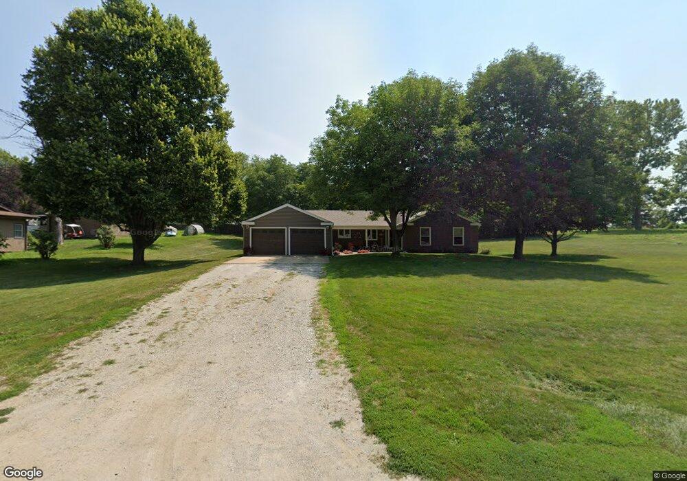
307 S Locust St Carson, IA 51525
Estimated Value: $239,000 - $316,000
3
Beds
4
Baths
1,804
Sq Ft
$159/Sq Ft
Est. Value
About This Home
This home is located at 307 S Locust St, Carson, IA 51525 and is currently estimated at $286,426, approximately $158 per square foot. 307 S Locust St is a home with nearby schools including Riverside Elementary School, Carson Elementary School, and Riverside Community High School.
Ownership History
Date
Name
Owned For
Owner Type
Purchase Details
Closed on
Oct 18, 2019
Sold by
Allen Anna Maren
Bought by
Frain Darrell E and Frain Kimberly M
Current Estimated Value
Home Financials for this Owner
Home Financials are based on the most recent Mortgage that was taken out on this home.
Original Mortgage
$171,950
Outstanding Balance
$149,990
Interest Rate
3.4%
Mortgage Type
New Conventional
Estimated Equity
$136,436
Create a Home Valuation Report for This Property
The Home Valuation Report is an in-depth analysis detailing your home's value as well as a comparison with similar homes in the area
Home Values in the Area
Average Home Value in this Area
Purchase History
| Date | Buyer | Sale Price | Title Company |
|---|---|---|---|
| Frain Darrell E | $181,000 | None Available |
Source: Public Records
Mortgage History
| Date | Status | Borrower | Loan Amount |
|---|---|---|---|
| Open | Frain Darrell E | $171,950 |
Source: Public Records
Tax History Compared to Growth
Tax History
| Year | Tax Paid | Tax Assessment Tax Assessment Total Assessment is a certain percentage of the fair market value that is determined by local assessors to be the total taxable value of land and additions on the property. | Land | Improvement |
|---|---|---|---|---|
| 2025 | $4,090 | $297,500 | $32,000 | $265,500 |
| 2024 | $4,090 | $257,300 | $27,800 | $229,500 |
| 2023 | $4,148 | $257,300 | $27,800 | $229,500 |
| 2022 | $3,534 | $195,100 | $22,800 | $172,300 |
| 2021 | $5,407 | $195,100 | $22,800 | $172,300 |
| 2020 | $3,322 | $195,100 | $22,800 | $172,300 |
| 2019 | $3,474 | $170,000 | $13,474 | $156,526 |
| 2018 | $3,362 | $170,000 | $13,474 | $156,526 |
| 2017 | $3,332 | $162,670 | $13,474 | $149,196 |
| 2015 | $3,326 | $162,670 | $13,474 | $149,196 |
| 2014 | $3,324 | $162,670 | $13,474 | $149,196 |
Source: Public Records
Map
Nearby Homes
- 513 Washington St
- 549 Washington St
- 126 N Oak St
- Lot 11 Tibbles Addition St
- Lot 22 Tibbles Addition St
- Lot 18 Tibbles Addition St
- Lot 20 Tibbles Addition St
- Lot 21 Tibbles Addition St
- Lot 5 Tibbles Addition St
- 21 Lot Tibbles Addition St
- 11 Lot Tibbles Addition
- 39612 Iowa 92
- 18 Lot Tibbles Addition St
- LOT 12 Grace St
- 5 Tibbles Addition St
- 22 Lot Tibbles Addition St
- 0000 Cottonwood Rd
- 20 Lot Tibbles Addition St
- 11688 425th St
- 124 Schueman Cul de Sac
- PARCEL #3 S Locust St
- PARCEL #2 S Locust St
- 1 S Locust St
- 224 S Mildred St
- 312 S Locust St
- 312 S Mildred St
- 215 S Locust St
- 318 S Locust St
- 228 Vine St
- 318 S Mildred St
- 401 S Locust St
- 302 S Locust St
- 322 S Mildred St
- 218 S Locust St
- 212 S Mildred St
- 326 S Locust St
- 212 S Locust St
- LOT 25 S Mildred St
- LOT 24 S Mildred St
- LOT 23 S Mildred St