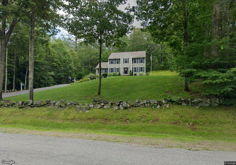
307 Twin Bridge Rd New Boston, NH 03070
Estimated Value: $644,505 - $668,000
3
Beds
3
Baths
2,699
Sq Ft
$243/Sq Ft
Est. Value
About This Home
This home is located at 307 Twin Bridge Rd, New Boston, NH 03070 and is currently estimated at $655,126, approximately $242 per square foot. 307 Twin Bridge Rd is a home with nearby schools including New Boston Central School and Goffstown High School.
Ownership History
Date
Name
Owned For
Owner Type
Purchase Details
Closed on
Sep 30, 2008
Sold by
Twin Bridge Land Mgmt
Bought by
Hammond Thomas J and Hock Meghan
Current Estimated Value
Home Financials for this Owner
Home Financials are based on the most recent Mortgage that was taken out on this home.
Original Mortgage
$273,750
Interest Rate
6.57%
Mortgage Type
Purchase Money Mortgage
Create a Home Valuation Report for This Property
The Home Valuation Report is an in-depth analysis detailing your home's value as well as a comparison with similar homes in the area
Home Values in the Area
Average Home Value in this Area
Purchase History
| Date | Buyer | Sale Price | Title Company |
|---|---|---|---|
| Hammond Thomas J | $288,200 | -- |
Source: Public Records
Mortgage History
| Date | Status | Borrower | Loan Amount |
|---|---|---|---|
| Open | Hammond Thomas J | $259,770 | |
| Closed | Hammond Thomas J | $277,472 | |
| Closed | Hammond Thomas J | $273,750 |
Source: Public Records
Tax History Compared to Growth
Tax History
| Year | Tax Paid | Tax Assessment Tax Assessment Total Assessment is a certain percentage of the fair market value that is determined by local assessors to be the total taxable value of land and additions on the property. | Land | Improvement |
|---|---|---|---|---|
| 2024 | $9,430 | $396,400 | $152,600 | $243,800 |
| 2023 | $8,067 | $396,400 | $152,600 | $243,800 |
| 2022 | $7,603 | $396,400 | $152,600 | $243,800 |
| 2021 | $7,333 | $396,400 | $152,600 | $243,800 |
| 2020 | $10,546 | $292,600 | $98,900 | $193,700 |
| 2019 | $10,026 | $292,600 | $98,900 | $193,700 |
| 2018 | $7,587 | $292,600 | $98,900 | $193,700 |
| 2017 | $7,125 | $292,600 | $98,900 | $193,700 |
| 2016 | $6,832 | $292,600 | $98,900 | $193,700 |
| 2015 | $6,990 | $261,700 | $92,400 | $169,300 |
| 2014 | $6,660 | $261,700 | $92,400 | $169,300 |
| 2013 | $6,344 | $261,700 | $92,400 | $169,300 |
Source: Public Records
Map
Nearby Homes
- 450 Weare Rd
- 95 Wright Dr
- 342 Weare Rd
- 34 Lull Rd
- 93 Daniels Rd
- 179 Oak Hill Rd
- 77 Gould Rd
- 103 Renshaw Rd
- 174 S Stark Hwy Unit 13
- 174 S Stark Hwy Unit 1
- 174 S Stark Hwy Unit 23
- 624 S Stark Hwy
- 238 Old Francestown Rd
- 54 Briar Hill Rd
- 196 Deering Center Rd
- 16 Meetinghouse Hill Rd
- 1 Old Coach Rd
- 1 Cemetery Rd
- 252 Clark Hill Rd
- Lot 1-50-1 Colburn Rd
- 311 Twin Bridge Rd
- 303 Twin Bridge Rd
- 323 Twin Bridge Rd
- 299 Twin Bridge Rd
- 44 Woodbury Rd
- 325 Twin Bridge Rd
- 50 Woodbury Rd
- 66 Woodbury Rd
- 2 Wright Dr
- 12 Wright Dr
- 48 Wright Dr
- 5 Wright Dr
- 339 Twin Bridge Rd
- 28 Woodbury Rd
- 7 Wright Dr
- 282 Twin Bridge Rd
- 6 Wright Dr
- 6 Wright Dr
- 63 Woodbury Rd
- 40 Woodbury Rd