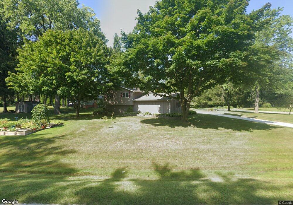
3075 Mayfield St Port Huron, MI 48060
Estimated Value: $266,000 - $302,000
4
Beds
2
Baths
1,976
Sq Ft
$142/Sq Ft
Est. Value
About This Home
This home is located at 3075 Mayfield St, Port Huron, MI 48060 and is currently estimated at $281,162, approximately $142 per square foot. 3075 Mayfield St is a home located in St. Clair County with nearby schools including Michigamme Elementary School, Central Middle School, and Port Huron High School.
Ownership History
Date
Name
Owned For
Owner Type
Purchase Details
Closed on
Apr 28, 2005
Sold by
Green Robert J and Green Violet M
Bought by
Pionk Alan and Pionk Darcy A
Current Estimated Value
Home Financials for this Owner
Home Financials are based on the most recent Mortgage that was taken out on this home.
Original Mortgage
$151,200
Outstanding Balance
$79,897
Interest Rate
6.05%
Mortgage Type
New Conventional
Estimated Equity
$201,265
Create a Home Valuation Report for This Property
The Home Valuation Report is an in-depth analysis detailing your home's value as well as a comparison with similar homes in the area
Home Values in the Area
Average Home Value in this Area
Purchase History
| Date | Buyer | Sale Price | Title Company |
|---|---|---|---|
| Pionk Alan | $189,000 | None Available |
Source: Public Records
Mortgage History
| Date | Status | Borrower | Loan Amount |
|---|---|---|---|
| Open | Pionk Alan | $151,200 |
Source: Public Records
Tax History Compared to Growth
Tax History
| Year | Tax Paid | Tax Assessment Tax Assessment Total Assessment is a certain percentage of the fair market value that is determined by local assessors to be the total taxable value of land and additions on the property. | Land | Improvement |
|---|---|---|---|---|
| 2025 | $3,122 | $135,700 | $0 | $0 |
| 2024 | $1,643 | $146,200 | $0 | $0 |
| 2023 | $1,516 | $115,400 | $0 | $0 |
| 2022 | $2,802 | $101,000 | $0 | $0 |
| 2021 | $2,565 | $92,800 | $0 | $0 |
| 2020 | $2,565 | $93,400 | $0 | $93,400 |
| 2019 | $2,517 | $80,300 | $0 | $0 |
| 2018 | $2,458 | $80,300 | $0 | $0 |
| 2017 | $2,403 | $80,200 | $0 | $0 |
| 2016 | $1,245 | $80,200 | $0 | $0 |
| 2015 | -- | $71,200 | $16,400 | $54,800 |
| 2014 | -- | $70,400 | $70,400 | $0 |
| 2013 | -- | $69,500 | $0 | $0 |
Source: Public Records
Map
Nearby Homes
- 3408 N Burwick Dr
- 3409 Ancient Dr
- 2940 Westland Dr
- 0000 W Water St
- 3335 W Water St
- 3228 Turnberry
- 2475 Sharon Ln
- 00 Parker Rd
- 3178 Oakwood Dr
- 3345 Beach Rd
- 3196 Oakwood Dr
- 2863 Beach Rd
- 3152 Spruce Dr
- 3115 Spruce Dr
- 3560 Milton Rd
- 4224 Atkins Rd
- 2806 Woodstock Dr
- 2650 Alger Rd
- 2549 Riverwood Dr
- 2838 Elmwood St
- 3088 Riverwood Heights
- 3088 Riverwood Heights Dr
- 3078 Riverwood Heights
- 3082 Mayfield St
- 3061 Mayfield St
- 3066 Mayfield Dr
- 3095 Riverwood Heights
- 3060 Mayfield St
- 3060 Mayfield St
- 3089 Riverwood Heights
- 3060 Mayfield Dr
- 3076 Mayfield St
- 3099 Riverwood Heights
- 3085 Riverwood Heights
- 3055 Mayfield St
- 3070 Riverwood Heights
- 3163 Lindsay Ln
- 3088 Mayfield St
- 3081 Riverwood Heights Dr
- 3081 Riverwood Heights