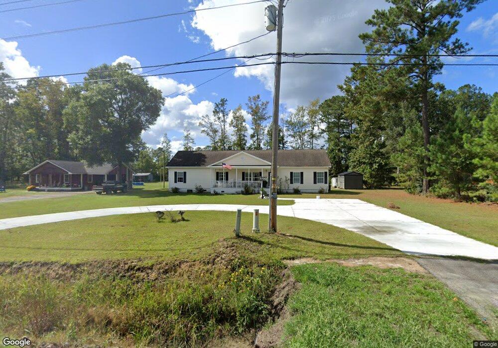
3077 Kent Rd Andrews, SC 29510
Estimated Value: $229,030 - $369,000
Studio
2
Baths
2,016
Sq Ft
$146/Sq Ft
Est. Value
About This Home
This home is located at 3077 Kent Rd, Andrews, SC 29510 and is currently estimated at $294,508, approximately $146 per square foot. 3077 Kent Rd is a home located in Georgetown County with nearby schools including Andrews Elementary School, Rosemary Middle School, and Andrews High School.
Ownership History
Date
Name
Owned For
Owner Type
Purchase Details
Closed on
Jan 15, 2019
Sold by
Shelby Thomas E and Hopkins Michelle
Bought by
Shelby Thomas E
Current Estimated Value
Purchase Details
Closed on
Dec 8, 2009
Sold by
H & H Properties Llc
Bought by
Shelby Thomas E and Shelby Michelle L
Home Financials for this Owner
Home Financials are based on the most recent Mortgage that was taken out on this home.
Original Mortgage
$156,120
Outstanding Balance
$100,275
Interest Rate
4.92%
Mortgage Type
FHA
Estimated Equity
$194,233
Purchase Details
Closed on
Sep 4, 2009
Sold by
Kingstree Forest Products Inc
Bought by
H & H Properties Llc
Purchase Details
Closed on
Oct 8, 2002
Sold by
Canal Holdings Llc
Bought by
Kingstree Forest Products Inc and Squires Marty D
Create a Home Valuation Report for This Property
The Home Valuation Report is an in-depth analysis detailing your home's value as well as a comparison with similar homes in the area
Purchase History
| Date | Buyer | Sale Price | Title Company |
|---|---|---|---|
| Shelby Thomas E | -- | None Available | |
| Shelby Thomas E | $159,000 | -- | |
| H & H Properties Llc | $12,000 | -- | |
| Kingstree Forest Products Inc | $35,000 | -- |
Source: Public Records
Mortgage History
| Date | Status | Borrower | Loan Amount |
|---|---|---|---|
| Open | Shelby Thomas E | $156,120 |
Source: Public Records
Tax History
| Year | Tax Paid | Tax Assessment Tax Assessment Total Assessment is a certain percentage of the fair market value that is determined by local assessors to be the total taxable value of land and additions on the property. | Land | Improvement |
|---|---|---|---|---|
| 2025 | $1,126 | $7,732 | $1,002 | $6,730 |
| 2024 | $1,126 | $6,730 | $320 | $6,410 |
| 2023 | $1,065 | $6,730 | $320 | $6,410 |
| 2022 | $988 | $6,730 | $320 | $6,410 |
| 2021 | $963 | $6,724 | $316 | $6,408 |
| 2020 | $961 | $6,724 | $316 | $6,408 |
| 2019 | $848 | $5,880 | $316 | $5,564 |
| 2018 | $866 | $58,800 | $0 | $0 |
| 2017 | $712 | $5,880 | $0 | $0 |
| 2016 | $703 | $5,880 | $0 | $0 |
| 2015 | $679 | $0 | $0 | $0 |
| 2014 | $679 | $141,200 | $7,900 | $133,300 |
| 2012 | -- | $141,200 | $7,900 | $133,300 |
Source: Public Records
Map
Nearby Homes
- 160 Leadwood St
- 140 Leadwood St
- 85 Blackjack Ln
- 142 Desurrency Ct
- 520 Deer Spring Loop
- 121 Feather Dr
- 754 Kent Rd
- 101 Feather Dr
- 0 Mims Ln
- 564 Oak Lawn Rd Unit LOT 131
- 598 Oak Lawn Rd Unit LOT 122
- 8946 Highmarket St
- 829 Commanders Island Rd Unit Lot 183
- 713 Belle Rive Rd Unit Lot 9 Custom Plan
- 4575 Saints Delight Rd
- 12155 Gapway Rd
- 7.90 Acres-TBD Puncheon Creek Dr
- 793 Puncheon Creek Dr
- 676 Gravel Gulley Rd
- TBD Georgetown Hwy
Your Personal Tour Guide
Ask me questions while you tour the home.