Estimated Value: $882,000 - $1,097,000
3
Beds
3
Baths
1,866
Sq Ft
$524/Sq Ft
Est. Value
About This Home
This home is located at 30781 N Clagstone Rd, Athol, ID 83801 and is currently estimated at $977,210, approximately $523 per square foot. 30781 N Clagstone Rd is a home located in Kootenai County with nearby schools including Athol Elementary School, Timberlake Junior High School, and Timberlake Senior High School.
Ownership History
Date
Name
Owned For
Owner Type
Purchase Details
Closed on
Jan 23, 2026
Sold by
Kimberly A Ruge Trust and Ruge Kimberly Ann
Bought by
Kimberly Ann Ruge And Jeffrey Stephen Ross Re and Ruge
Current Estimated Value
Purchase Details
Closed on
Dec 12, 2014
Sold by
Ruge Kimberly Ann
Bought by
Kimberly Ann Ruge Trust
Purchase Details
Closed on
Oct 23, 2014
Sold by
Ross Jeffrey Stephen
Bought by
Kimberly Ann Rnge Trust
Purchase Details
Closed on
Jan 28, 2014
Sold by
Cowan George W and Cowan Jeanne R
Bought by
Ruge Kimberly A and Ross Jeffrey S
Purchase Details
Closed on
Feb 3, 2005
Sold by
Jordan Mark and Smallwood Kimberly
Bought by
Cowan George W and Cowan Jeanne R
Home Financials for this Owner
Home Financials are based on the most recent Mortgage that was taken out on this home.
Original Mortgage
$79,200
Interest Rate
5.74%
Mortgage Type
Purchase Money Mortgage
Create a Home Valuation Report for This Property
The Home Valuation Report is an in-depth analysis detailing your home's value as well as a comparison with similar homes in the area
Purchase History
| Date | Buyer | Sale Price | Title Company |
|---|---|---|---|
| Kimberly Ann Ruge And Jeffrey Stephen Ross Re | -- | None Listed On Document | |
| Kimberly Ann Ruge Trust | -- | None Available | |
| Kimberly Ann Rnge Trust | -- | None Available | |
| Ruge Kimberly A | -- | Alliance Title | |
| Cowan George W | -- | None Available |
Source: Public Records
Mortgage History
| Date | Status | Borrower | Loan Amount |
|---|---|---|---|
| Previous Owner | Cowan George W | $79,200 |
Source: Public Records
Tax History
| Year | Tax Paid | Tax Assessment Tax Assessment Total Assessment is a certain percentage of the fair market value that is determined by local assessors to be the total taxable value of land and additions on the property. | Land | Improvement |
|---|---|---|---|---|
| 2025 | $1,822 | $680,942 | $261,402 | $419,540 |
| 2024 | $2,010 | $683,896 | $263,576 | $420,320 |
| 2023 | $2,010 | $649,653 | $229,333 | $420,320 |
| 2022 | $2,068 | $630,538 | $286,298 | $344,240 |
| 2021 | $2,009 | $409,370 | $163,350 | $246,020 |
| 2020 | $2,015 | $343,389 | $121,489 | $221,900 |
| 2019 | $1,823 | $289,229 | $105,819 | $183,410 |
| 2018 | $1,906 | $274,500 | $105,750 | $168,750 |
| 2017 | $1,675 | $270,390 | $105,220 | $165,170 |
| 2016 | $1,350 | $241,765 | $91,635 | $150,130 |
| 2015 | $881 | $216,230 | $66,000 | $150,230 |
| 2013 | $581 | $197,477 | $63,157 | $134,320 |
Source: Public Records
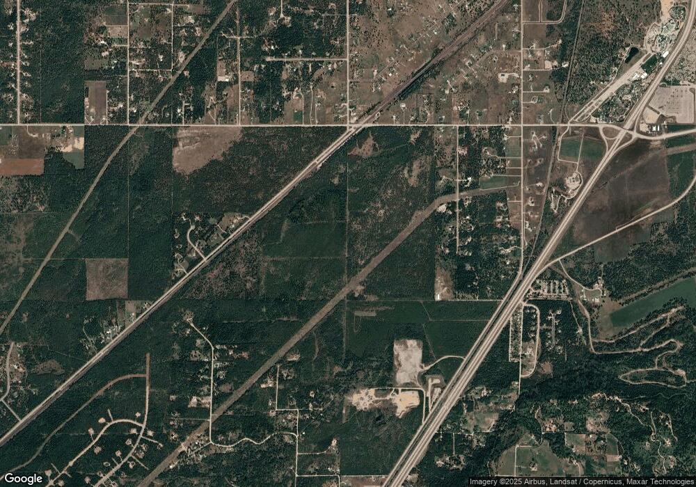
Map
Nearby Homes
- 30259 Sienna Loop
- 30763 Sienna Loop
- 2996 E Briar Ct
- 30267 N Wheatridge Rd
- 30296 N Wheatridge Rd
- 2128 E Shoshone Ave
- 1888 E Shoshone Ave
- 29131 N Hindman St
- 5 Ellington Ct
- NKA E War Eagle Ave
- NKA Abundant Life Ct Lot 3
- 31480 N Riffle Rd
- XXXX E Blaine St
- NKA Abundant Life Ct Lot 1
- 2238 E Blaine St
- 5960 E Menser Ave
- 32053 N Red Dell Loop
- 6161 E Menser Ave
- 28990 N Miller Rd
- 1971 E Yellow Pine Ave
- 0 Marnett Rd L2 B1
- 30821 N Clagstone Rd
- 30829 N Clagstone Rd
- 0 Marnett Rd L4 B1
- 31071 N Clagstone Rd
- 2980 E Marnett Rd
- 31119 Clagstone Rd
- 0 Hwy 54 & Clagstone Unit 2-7570
- 0 Hwy 54 & Clagstone Unit 2-5630
- 0 Hwy 54 & Clagstone Unit 13-2417
- 30610 N Pheasant Run Ct
- 36 N Clagstone Rd
- 31301 N Clagstone Rd
- 2752 E Marnett Rd
- NNA Hwy 54 (Parcel #2)
- 30466 N Pheasant Run Ct
- LOT 12 B1 Sienna Loop
- 30371 N Sienna Loop
- NNA N Sienna Loop
- NNA E Idaho 54
Your Personal Tour Guide
Ask me questions while you tour the home.