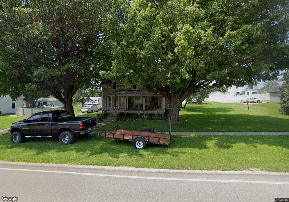
308 Main St Delmar, IA 52037
Estimated Value: $108,000 - $131,000
3
Beds
2
Baths
1,845
Sq Ft
$63/Sq Ft
Est. Value
About This Home
This home is located at 308 Main St, Delmar, IA 52037 and is currently estimated at $116,123, approximately $62 per square foot. 308 Main St is a home with nearby schools including Delwood Elementary School.
Ownership History
Date
Name
Owned For
Owner Type
Purchase Details
Closed on
May 31, 2005
Sold by
Bentson Kenneth J and Bentson Kristal L
Bought by
Usher Trent and Mcdermott Jennifer D
Current Estimated Value
Home Financials for this Owner
Home Financials are based on the most recent Mortgage that was taken out on this home.
Original Mortgage
$53,000
Outstanding Balance
$27,599
Interest Rate
5.82%
Mortgage Type
New Conventional
Estimated Equity
$88,524
Create a Home Valuation Report for This Property
The Home Valuation Report is an in-depth analysis detailing your home's value as well as a comparison with similar homes in the area
Home Values in the Area
Average Home Value in this Area
Purchase History
| Date | Buyer | Sale Price | Title Company |
|---|---|---|---|
| Usher Trent | $53,000 | None Available |
Source: Public Records
Mortgage History
| Date | Status | Borrower | Loan Amount |
|---|---|---|---|
| Open | Usher Trent | $53,000 |
Source: Public Records
Tax History Compared to Growth
Tax History
| Year | Tax Paid | Tax Assessment Tax Assessment Total Assessment is a certain percentage of the fair market value that is determined by local assessors to be the total taxable value of land and additions on the property. | Land | Improvement |
|---|---|---|---|---|
| 2025 | $1,472 | $93,480 | $12,310 | $81,170 |
| 2024 | $1,472 | $97,940 | $12,310 | $85,630 |
| 2023 | $1,448 | $97,940 | $12,310 | $85,630 |
| 2022 | $1,418 | $90,810 | $12,310 | $78,500 |
| 2021 | $1,136 | $86,660 | $18,050 | $68,610 |
| 2020 | $1,136 | $74,550 | $18,050 | $56,500 |
| 2019 | $1,046 | $70,520 | $0 | $0 |
| 2018 | $1,020 | $70,520 | $0 | $0 |
| 2017 | $928 | $70,520 | $0 | $0 |
| 2016 | $898 | $62,810 | $0 | $0 |
| 2015 | $898 | $62,810 | $0 | $0 |
| 2014 | $896 | $62,810 | $0 | $0 |
| 2013 | $854 | $0 | $0 | $0 |
Source: Public Records
Map
Nearby Homes
- 105 Richland St
- 2541 130th St
- 1389 260th Ave
- 2812 145th St
- Lot 2 Timber Dr
- Lot 3 Timber Dr
- Lot 1 Timber Dr
- 1374 290th Ave
- 0 Nairn Dr Unit 153479
- 108 W Monroe St
- 712 S 2nd St
- 407 S Niagara St
- 302 E Maple St
- 313 S 4th St
- 210 S 2nd St
- 706 Myatt Dr Unit A & B
- 124 E Platt St
- 310 N Dearborn St
- 911 Lisa Dr
- 401-435 Forest Dr