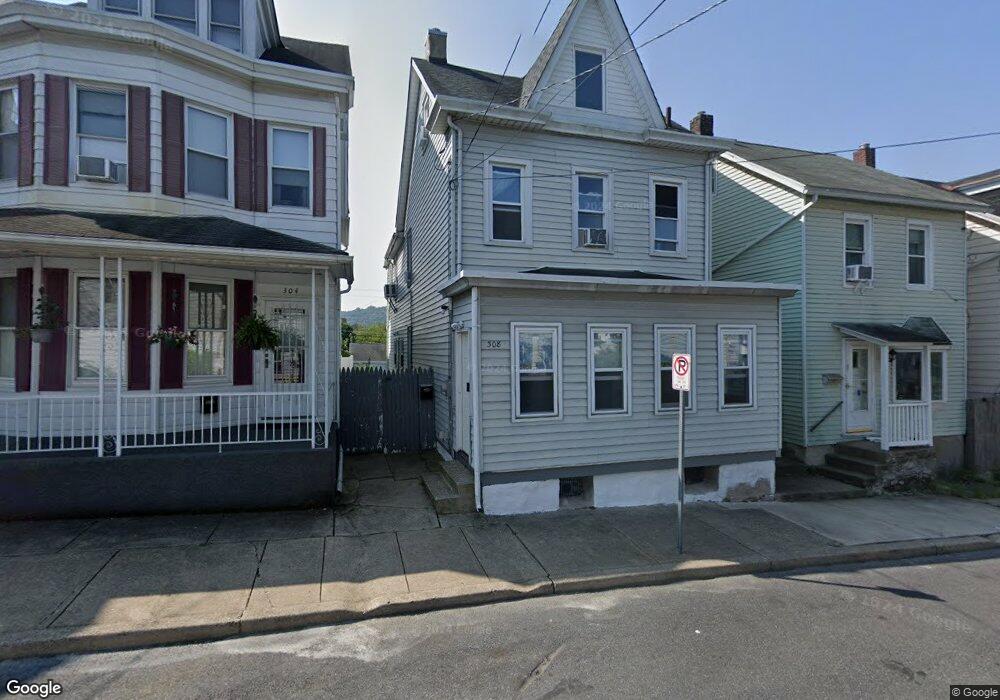
308 W Nesquehoning St Easton, PA 18042
Southside Easton NeighborhoodEstimated Value: $234,000 - $241,323
3
Beds
1
Bath
2,007
Sq Ft
$119/Sq Ft
Est. Value
About This Home
This home is located at 308 W Nesquehoning St, Easton, PA 18042 and is currently estimated at $237,831, approximately $118 per square foot. 308 W Nesquehoning St is a home located in Northampton County with nearby schools including Cheston Elementary School, Easton Area Middle School, and Easton Area High School.
Ownership History
Date
Name
Owned For
Owner Type
Purchase Details
Closed on
Nov 6, 2020
Sold by
Sutt Paul E
Bought by
Hoppock Fred and King Sarah
Current Estimated Value
Purchase Details
Closed on
Oct 11, 2002
Sold by
Caravetta David F and Caravetta Peggy A
Bought by
Sutt Paul E
Purchase Details
Closed on
Dec 1, 1981
Bought by
Caravetta David F and Caravetta Peggy A
Create a Home Valuation Report for This Property
The Home Valuation Report is an in-depth analysis detailing your home's value as well as a comparison with similar homes in the area
Home Values in the Area
Average Home Value in this Area
Purchase History
| Date | Buyer | Sale Price | Title Company |
|---|---|---|---|
| Hoppock Fred | $70,000 | Allied Title Llc Suite | |
| Sutt Paul E | $70,000 | -- | |
| Caravetta David F | -- | -- |
Source: Public Records
Tax History Compared to Growth
Tax History
| Year | Tax Paid | Tax Assessment Tax Assessment Total Assessment is a certain percentage of the fair market value that is determined by local assessors to be the total taxable value of land and additions on the property. | Land | Improvement |
|---|---|---|---|---|
| 2025 | $427 | $39,500 | $12,300 | $27,200 |
| 2024 | $4,098 | $39,500 | $12,300 | $27,200 |
| 2023 | $4,098 | $39,500 | $12,300 | $27,200 |
| 2022 | $4,046 | $39,500 | $12,300 | $27,200 |
| 2021 | $4,035 | $39,500 | $12,300 | $27,200 |
| 2020 | $4,033 | $39,500 | $12,300 | $27,200 |
| 2019 | $3,985 | $39,500 | $12,300 | $27,200 |
| 2018 | $3,929 | $39,500 | $12,300 | $27,200 |
| 2017 | $3,851 | $39,500 | $12,300 | $27,200 |
| 2016 | -- | $39,500 | $12,300 | $27,200 |
| 2015 | -- | $39,500 | $12,300 | $27,200 |
| 2014 | -- | $39,500 | $12,300 | $27,200 |
Source: Public Records
Map
Nearby Homes
- 249 W Nesquehoning St
- 245 W Nesquehoning St
- 270 W Wilkes Barre St
- 351 W Wilkes Barre St
- 354 W Saint Joseph St
- 161 W Wilkes Barre St
- 425 W Wilkes Barre St
- 419 W Lincoln St
- 115 E Wilkes Barre St
- 425 W Lincoln St
- 133 E Nesquehoning St
- 147 James St
- 541 W Wilkes Barre St
- 622 Folk St
- 606 W Nesquehoning St
- 820 Philadelphia Rd
- 495 W Berwick St
- 521 Reynolds St
- 533 Reynolds St
- 404 Centre St
- 310 W Nesquehoning St
- 304 W Nesquehoning St
- 314 W Nesquehoning St
- 302 W Nesquehoning St
- 302 W Nesquehoning St Unit 1
- 302 W Nesquehoning St Unit 2
- 316 W Nesquehoning St
- 320 W Nesquehoning St
- 324 W Nesquehoning St
- 284 W Nesquehoning St
- 305 W Nesquehoning St
- 305 W Wilkes Barre St
- 280 W Nesquehoning St
- 328 W Nesquehoning St
- 301 W Wilkes Barre St
- 319 W Wilkes Barre St
- 278 W Nesquehoning St
- 311 W Wilkes Barre St
- 309 W Nesquehoning St
- 285 W Wilkes Barre St