Estimated Value: $185,000 - $215,000
Studio
--
Bath
1,850
Sq Ft
$108/Sq Ft
Est. Value
About This Home
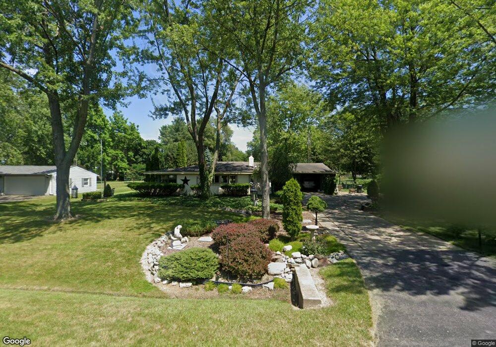
This home is located at 3082 Lanning Dr, Flint, MI 48506 and is currently estimated at $200,455, approximately $108 per square foot. 3082 Lanning Dr is a home located in Genesee County with nearby schools including Weston Elementary School, Kate Dowdall Elementary School, and Leota Fiedler Elementary School.
Ownership History
Date
Name
Owned For
Owner Type
Purchase Details
Closed on
Oct 23, 2024
Sold by
St Germain Constance
Bought by
Ruschke Michael T and Ruschke Kari R
Current Estimated Value
Purchase Details
Closed on
Oct 26, 2022
Sold by
St Germain Constance
Bought by
Ruschke Michael T
Purchase Details
Closed on
Sep 13, 2022
Sold by
St Germain Constance L
Bought by
St Germain Constance L
Purchase Details
Closed on
Oct 30, 2015
Sold by
St Germain Constance L
Bought by
St Germain Constance L and Childs Thomas A
Purchase Details
Closed on
Oct 22, 2015
Sold by
Wilson Eveyline May
Bought by
St Germain Constance L
Purchase Details
Closed on
Feb 28, 2005
Sold by
Stgermain Michael E
Bought by
Stgermain Constance L
Purchase Details
Closed on
Apr 10, 2003
Sold by
Stgermain Michael E
Bought by
Stgermain Michael E and Stgermain Constance
Create a Home Valuation Report for This Property
The Home Valuation Report is an in-depth analysis detailing your home's value as well as a comparison with similar homes in the area
Home Values in the Area
Average Home Value in this Area
Purchase History
| Date | Buyer | Sale Price | Title Company |
|---|---|---|---|
| Ruschke Michael T | -- | None Listed On Document | |
| Ruschke Michael T | -- | -- | |
| St Germain Constance L | -- | -- | |
| St Germain Constance L | -- | Attorney | |
| St Germain Constance L | -- | Attorney | |
| Stgermain Constance L | -- | -- | |
| Stgermain Michael E | -- | -- |
Source: Public Records
Tax History
| Year | Tax Paid | Tax Assessment Tax Assessment Total Assessment is a certain percentage of the fair market value that is determined by local assessors to be the total taxable value of land and additions on the property. | Land | Improvement |
|---|---|---|---|---|
| 2025 | $2,122 | $111,900 | $0 | $0 |
| 2024 | $567 | $102,100 | $0 | $0 |
| 2023 | $541 | $92,900 | $0 | $0 |
| 2022 | $1,755 | $83,400 | $0 | $0 |
| 2021 | $1,740 | $75,200 | $0 | $0 |
| 2020 | $495 | $67,600 | $0 | $0 |
| 2019 | $487 | $59,700 | $0 | $0 |
| 2018 | $1,654 | $53,100 | $0 | $0 |
| 2017 | $1,598 | $51,600 | $0 | $0 |
| 2016 | $1,585 | $48,800 | $0 | $0 |
| 2015 | $1,345 | $45,800 | $0 | $0 |
| 2014 | $449 | $40,400 | $0 | $0 |
| 2012 | -- | $43,500 | $43,500 | $0 |
Source: Public Records
Map
Nearby Homes
- 4101 Sugar Maple Run Unit 1
- 4201 Sugar Maple Run Unit 2
- 4402 Maple Leaf Trail Unit 29
- 4207 Sugar Maple Run
- 4213 Sugar Maple Run
- 4414 Maple Leaf Trail
- 4202 Sugar Maple Run Unit 30
- 4208 Sugar Maple Run Unit 31
- 4420 Maple Leaf Trail
- 4225 Sugar Maple Run Unit 6
- 4214 Sugar Maple Run Unit 32
- 4426 Maple Leaf Trail
- 4253 Potter Rd
- 4231 Sugar Maple Run
- 4220 Sugar Maple Run Unit 33
- 4237 Sugar Maple Run Unit 8
- 4226 Sugar Maple Run Unit 34
- 4201 Fairway View Unit 41
- 4438 Maple Leaf Trail
- 4207 Fairway View Unit 40
- 3094 Lanning Dr
- 3076 Lanning Dr
- 3102 Lanning Dr
- 3070 Lanning Dr
- 3081 Covert Rd
- 3087 Lanning Dr
- 3095 Lanning Dr
- 3091 Covert Rd
- 3081 Lanning Dr
- 3075 Lanning Dr
- 3062 Lanning Dr
- 3103 Covert Rd
- 3069 Lanning Dr
- 3065 Covert Rd
- 3069 Covert Rd
- 3056 Lanning Dr
- 3048 Lanning Dr
- 3061 Lanning Dr
- 4224 Richfield Rd
- 4238 Richfield Rd
Your Personal Tour Guide
Ask me questions while you tour the home.