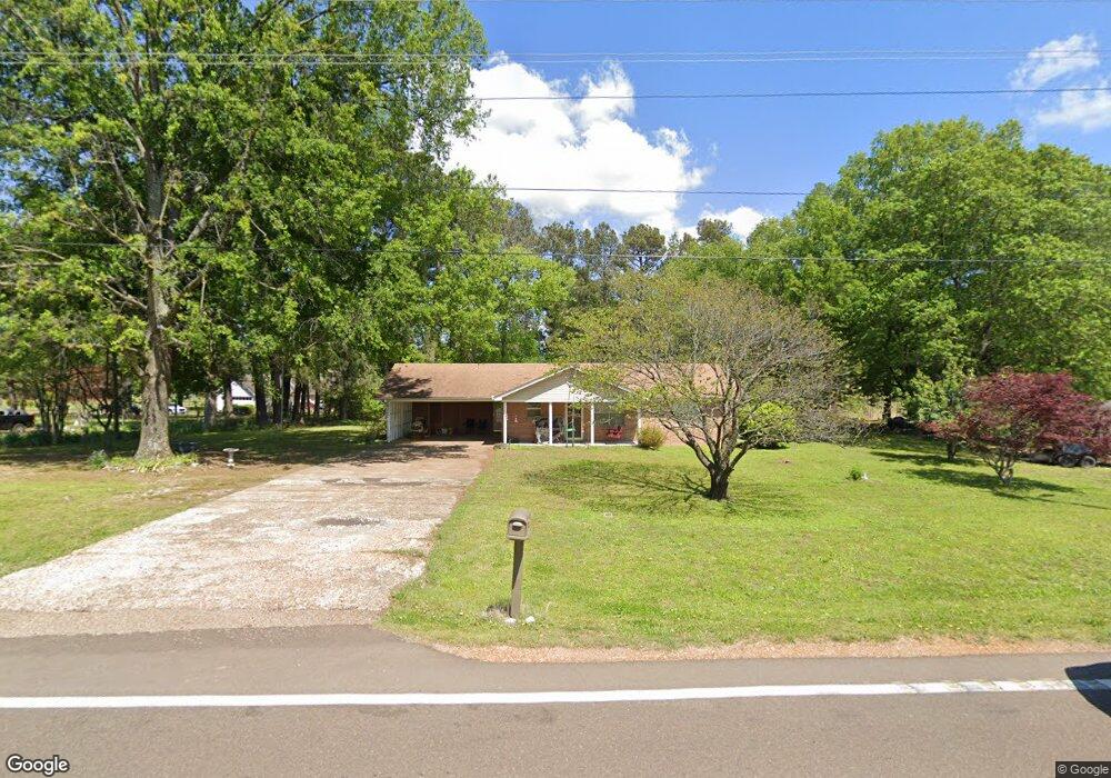
3084 Highway 59 W Covington, TN 38019
Estimated Value: $163,051 - $188,000
Studio
1
Bath
1,138
Sq Ft
$159/Sq Ft
Est. Value
About This Home
This home is located at 3084 Highway 59 W, Covington, TN 38019 and is currently estimated at $181,013, approximately $159 per square foot. 3084 Highway 59 W is a home located in Tipton County with nearby schools including Crestview Elementary School, Crestview Middle School, and Covington High School.
Ownership History
Date
Name
Owned For
Owner Type
Purchase Details
Closed on
Nov 23, 2021
Sold by
Hill Teresa E
Bought by
Hill Edward E
Current Estimated Value
Purchase Details
Closed on
Oct 17, 2003
Sold by
Mary Prince
Bought by
Hill Edward E
Home Financials for this Owner
Home Financials are based on the most recent Mortgage that was taken out on this home.
Original Mortgage
$70,395
Interest Rate
6.03%
Purchase Details
Closed on
Oct 16, 1953
Bought by
Miller Verble
Create a Home Valuation Report for This Property
The Home Valuation Report is an in-depth analysis detailing your home's value as well as a comparison with similar homes in the area
Purchase History
| Date | Buyer | Sale Price | Title Company |
|---|---|---|---|
| Hill Edward E | -- | None Available | |
| Hill Edward E | $71,500 | -- | |
| Miller Verble | -- | -- |
Source: Public Records
Mortgage History
| Date | Status | Borrower | Loan Amount |
|---|---|---|---|
| Previous Owner | Miller Verble | $70,395 |
Source: Public Records
Tax History
| Year | Tax Paid | Tax Assessment Tax Assessment Total Assessment is a certain percentage of the fair market value that is determined by local assessors to be the total taxable value of land and additions on the property. | Land | Improvement |
|---|---|---|---|---|
| 2025 | $565 | $37,100 | $7,750 | $29,350 |
| 2024 | $565 | $37,100 | $7,750 | $29,350 |
| 2023 | $565 | $37,100 | $7,750 | $29,350 |
| 2022 | $533 | $26,125 | $5,700 | $20,425 |
| 2021 | $533 | $26,125 | $5,700 | $20,425 |
| 2020 | $533 | $26,125 | $5,700 | $20,425 |
| 2019 | $453 | $18,700 | $4,375 | $14,325 |
| 2018 | $453 | $18,700 | $4,375 | $14,325 |
| 2017 | $453 | $18,700 | $4,375 | $14,325 |
| 2016 | $453 | $18,700 | $4,375 | $14,325 |
| 2015 | $452 | $18,700 | $4,375 | $14,325 |
| 2014 | $452 | $18,695 | $0 | $0 |
Source: Public Records
Map
Nearby Homes
- 4154 Tennessee 59
- 273 Daniel Dr
- 1766 Tennessee 59
- 866 Deen Rd
- 597 Walton Loop
- 127 Walton Loop
- 145 Quail Rd
- 1321 Tennessee 59
- 2847 Holly Grove Rd
- 458 McLillie Ln
- 754 Mcwilliams Rd
- 0 Mcwilliams Rd
- 00 Mcwilliams Rd
- 417 Turner Ln
- 1535 Roane St
- 1019 Hill Ave
- 513 Garland Ave
- 635 Oakview Ave
- 375 Mueller Brass Rd
- 503 Terrace Dr
- 3048 Highway 59 W
- 60 Miller Rd
- 0 Dawson Rd Unit 3250363
- 0 Dawson Rd Unit 3250362
- 0 Dawson Rd Unit 3250357
- 0 Dawson Rd Unit 10083653
- 3118 Highway 59 W
- 3026 Highway 59 W
- 88 Miller Rd
- 104 Miller Rd
- 41 Miller Rd
- 27 Janet Rd
- 3164 Tennessee 59
- 3164 Highway 59 W
- 2998 Highway 59 W
- 22 Janet Rd
- 2976 Highway 59 W
- 109 Miller Rd
- 57 Janet Rd
- 3198 Highway 59 W
Your Personal Tour Guide
Ask me questions while you tour the home.