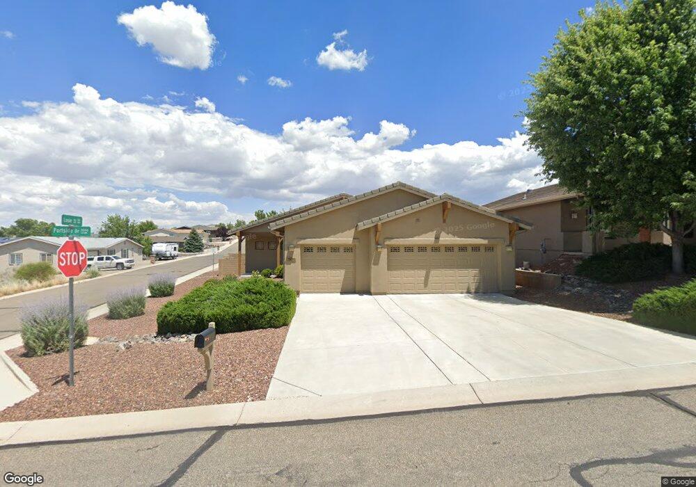
3085 Portside Dr Prescott, AZ 86301
Estimated Value: $560,000 - $640,000
3
Beds
2
Baths
1,753
Sq Ft
$334/Sq Ft
Est. Value
About This Home
This home is located at 3085 Portside Dr, Prescott, AZ 86301 and is currently estimated at $586,334, approximately $334 per square foot. 3085 Portside Dr is a home located in Yavapai County with nearby schools including Granite Mountain Middle School, Abia Judd Elementary School, and Prescott Mile High Middle School.
Ownership History
Date
Name
Owned For
Owner Type
Purchase Details
Closed on
Jan 9, 2008
Sold by
Wackerman Valerie J
Bought by
Wackerman William F
Current Estimated Value
Home Financials for this Owner
Home Financials are based on the most recent Mortgage that was taken out on this home.
Original Mortgage
$262,105
Outstanding Balance
$163,714
Interest Rate
5.96%
Mortgage Type
Purchase Money Mortgage
Estimated Equity
$422,620
Purchase Details
Closed on
Nov 7, 2005
Sold by
Willow Hills Ii Llc
Bought by
Not Provided
Home Financials for this Owner
Home Financials are based on the most recent Mortgage that was taken out on this home.
Original Mortgage
$8,000,000
Interest Rate
6.67%
Mortgage Type
Construction
Create a Home Valuation Report for This Property
The Home Valuation Report is an in-depth analysis detailing your home's value as well as a comparison with similar homes in the area
Home Values in the Area
Average Home Value in this Area
Purchase History
| Date | Buyer | Sale Price | Title Company |
|---|---|---|---|
| Wackerman William F | -- | Transnation Title Insurance | |
| Wackerman Terra D | $275,900 | Transnation Title Insurance | |
| Not Provided | $90,000 | Transnation Title Ins Co |
Source: Public Records
Mortgage History
| Date | Status | Borrower | Loan Amount |
|---|---|---|---|
| Open | Wackerman Terra D | $262,105 | |
| Previous Owner | Not Provided | $8,000,000 |
Source: Public Records
Tax History Compared to Growth
Tax History
| Year | Tax Paid | Tax Assessment Tax Assessment Total Assessment is a certain percentage of the fair market value that is determined by local assessors to be the total taxable value of land and additions on the property. | Land | Improvement |
|---|---|---|---|---|
| 2026 | $1,390 | $43,424 | -- | -- |
| 2024 | $1,360 | $46,027 | -- | -- |
| 2023 | $1,360 | $37,101 | $7,245 | $29,856 |
| 2022 | $1,342 | $31,204 | $6,169 | $25,035 |
| 2021 | $1,440 | $30,308 | $5,184 | $25,124 |
| 2020 | $1,446 | $0 | $0 | $0 |
| 2019 | $1,436 | $0 | $0 | $0 |
| 2018 | $1,372 | $0 | $0 | $0 |
| 2017 | $1,322 | $0 | $0 | $0 |
| 2016 | $1,316 | $0 | $0 | $0 |
| 2015 | $1,277 | $0 | $0 | $0 |
| 2014 | $1,273 | $0 | $0 | $0 |
Source: Public Records
Map
Nearby Homes
- 1042 Louie St
- 829 Royal Tulips St
- 951 Louie St
- 5919 W Cir
- 5909 W Cedron (Lot 276) Cir
- 6008 W Cedron (Lot 269) Cir
- 5928 W Cedron (Lot 265) Cir
- 6053 W Vesta (Lot 263) Cir
- 6033 W Vesta (Lot 262) Cir
- 5880 W Vesta (Lot 252) Cir
- 1035 Craftsman Dr
- 830 Hoosier Pass
- 2680 Trail Walk
- 1656 Solstice Dr
- 968 Rosye View Ln
- 1492 Barberry Ln Unit 36
- 1492 Barberry Ln
- 979 Rosye View Ln
- 1502 Barberry Ln Unit 37
- 1502 Barberry Ln
- 3077 Portside Dr
- 2874 Jerry St Unit 1
- 3063 Portside Dr
- 2864 Jerry St
- 1098 Louie St
- 1098 Louie St Unit 3
- 3057 Portside Dr
- 0 Portside Dr
- 2894 Jerry St Unit III
- 2894 Jerry St
- 1109 Louie St
- 3049 Portside Dr
- 2852 Jerry St
- 3050 Portside Dr
- 1116 Samantha St
- 1116 Samantha St Unit III
- 2759 Brooks Range
- 1112 Louie St
- 2757 Brooks Range
- 2761 Brooks Range