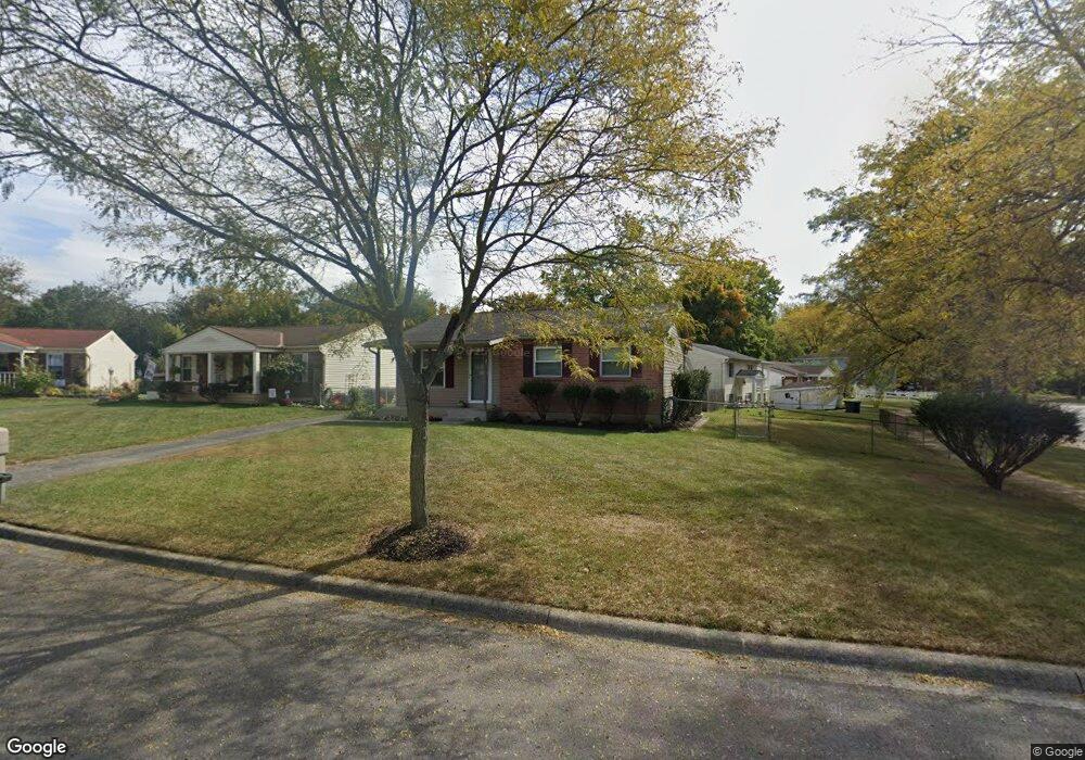
3085 Riverbend Place Columbus, OH 43223
Riverbend NeighborhoodEstimated Value: $217,243 - $268,000
3
Beds
1
Bath
952
Sq Ft
$252/Sq Ft
Est. Value
About This Home
This home is located at 3085 Riverbend Place, Columbus, OH 43223 and is currently estimated at $240,311, approximately $252 per square foot. 3085 Riverbend Place is a home located in Franklin County with nearby schools including James A Harmon Elementary School, Franklin Woods Intermediate School, and Finland Middle School.
Ownership History
Date
Name
Owned For
Owner Type
Purchase Details
Closed on
Apr 28, 2025
Sold by
Miller Randy D
Bought by
Randy Miller Family Trust and Miller
Current Estimated Value
Purchase Details
Closed on
May 16, 2000
Sold by
Miller Brenda
Bought by
Miller Brenda D
Purchase Details
Closed on
Jun 8, 1992
Bought by
Miller Randy D
Purchase Details
Closed on
Mar 10, 1992
Create a Home Valuation Report for This Property
The Home Valuation Report is an in-depth analysis detailing your home's value as well as a comparison with similar homes in the area
Home Values in the Area
Average Home Value in this Area
Purchase History
| Date | Buyer | Sale Price | Title Company |
|---|---|---|---|
| Randy Miller Family Trust | -- | None Listed On Document | |
| Miller Brenda D | -- | -- | |
| Miller Randy D | -- | -- | |
| -- | $74,700 | -- |
Source: Public Records
Tax History Compared to Growth
Tax History
| Year | Tax Paid | Tax Assessment Tax Assessment Total Assessment is a certain percentage of the fair market value that is determined by local assessors to be the total taxable value of land and additions on the property. | Land | Improvement |
|---|---|---|---|---|
| 2024 | $2,393 | $65,630 | $17,680 | $47,950 |
| 2023 | $2,351 | $65,630 | $17,680 | $47,950 |
| 2022 | $2,002 | $41,030 | $12,920 | $28,110 |
| 2021 | $2,043 | $41,030 | $12,920 | $28,110 |
| 2020 | $2,031 | $41,030 | $12,920 | $28,110 |
| 2019 | $1,875 | $33,430 | $10,780 | $22,650 |
| 2018 | $933 | $33,430 | $10,780 | $22,650 |
| 2017 | $1,858 | $33,430 | $10,780 | $22,650 |
| 2016 | $1,718 | $28,390 | $5,920 | $22,470 |
| 2015 | $859 | $28,390 | $5,920 | $22,470 |
| 2014 | $1,719 | $28,390 | $5,920 | $22,470 |
| 2013 | $947 | $31,535 | $6,580 | $24,955 |
Source: Public Records
Map
Nearby Homes
- 1520 Fall Brook Rd
- 2800 Alkire Rd
- 2987 Daisy Ln
- 3326 Bluhm Ct
- 1465 Tall Meadows Dr
- 2856 Chesfield Dr
- 0 Glencreek Rd
- 1248 Gresham Rd
- 1657 Ripplebrook Rd
- 2930 Alkire Rd
- 2894 Creith Ct
- 3206 Andy Terrace
- 2929 Briggs Rd
- 3488 Rocky Rd
- 1181 Onslow Dr
- 2195 Big Run Ave
- 1226 Pinnacle Dr
- 2255 Harrisburg Pike
- 3623 High Creek Dr
- 1037 Chestershire Rd
- 3073 Riverbend Place
- 1604 Riverbend Rd
- 3061 Riverbend Place
- 1612 Riverbend Rd
- 1574 Riverbend Rd
- 1597 River Bend Rd
- 1601 Riverbend Rd
- 1609 Fall Brook Rd
- 1609 River Bend Rd
- 1597 Riverbend Rd
- 1597 Fall Brook Rd
- 1617 Fall Brook Rd
- 3084 Riverbend Place
- 1639 Fall Brook Rd
- 1609 Riverbend Rd
- 1591 Fall Brook Rd
- 1593 Riverbend Rd
- 3059 Riverbend Place
- 1635 Fall Brook Rd
- 3060 Riverbend Place