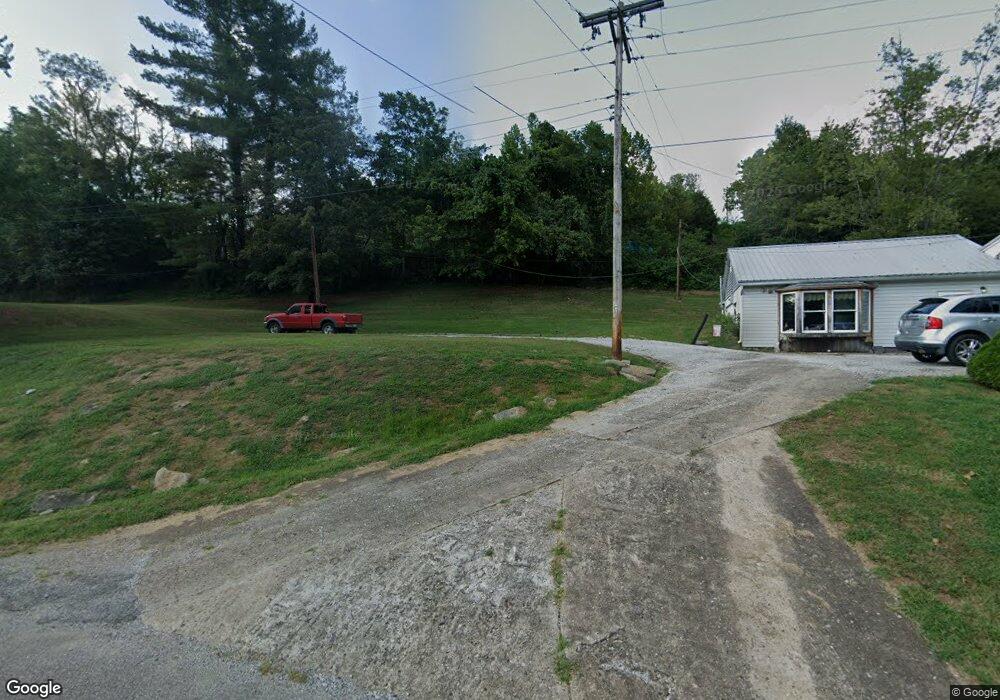
3085 State Route 26 Marietta, OH 45750
Estimated Value: $146,000 - $353,000
4
Beds
3
Baths
2,204
Sq Ft
$119/Sq Ft
Est. Value
About This Home
This home is located at 3085 State Route 26, Marietta, OH 45750 and is currently estimated at $262,701, approximately $119 per square foot. 3085 State Route 26 is a home with nearby schools including Marietta High School and Wood County Christian School.
Ownership History
Date
Name
Owned For
Owner Type
Purchase Details
Closed on
Feb 13, 2023
Sold by
Hasley Lois Arlene
Bought by
Cottrill James E
Current Estimated Value
Home Financials for this Owner
Home Financials are based on the most recent Mortgage that was taken out on this home.
Original Mortgage
$75,000
Outstanding Balance
$72,710
Interest Rate
6.48%
Mortgage Type
New Conventional
Estimated Equity
$189,991
Purchase Details
Closed on
Jun 19, 1992
Bought by
Hasley Michael Wayne and Hasley L
Purchase Details
Closed on
Aug 2, 1991
Purchase Details
Closed on
Jan 17, 1989
Create a Home Valuation Report for This Property
The Home Valuation Report is an in-depth analysis detailing your home's value as well as a comparison with similar homes in the area
Home Values in the Area
Average Home Value in this Area
Purchase History
| Date | Buyer | Sale Price | Title Company |
|---|---|---|---|
| Cottrill James E | $100,000 | -- | |
| Hasley Michael Wayne | $55,000 | -- | |
| -- | $55,000 | -- | |
| -- | -- | -- |
Source: Public Records
Mortgage History
| Date | Status | Borrower | Loan Amount |
|---|---|---|---|
| Open | Cottrill James E | $75,000 |
Source: Public Records
Tax History Compared to Growth
Tax History
| Year | Tax Paid | Tax Assessment Tax Assessment Total Assessment is a certain percentage of the fair market value that is determined by local assessors to be the total taxable value of land and additions on the property. | Land | Improvement |
|---|---|---|---|---|
| 2024 | $2,357 | $67,190 | $22,930 | $44,260 |
| 2023 | $2,357 | $67,190 | $22,930 | $44,260 |
| 2022 | $2,036 | $67,190 | $22,930 | $44,260 |
| 2021 | $1,277 | $43,140 | $20,100 | $23,040 |
| 2020 | $1,289 | $43,140 | $20,100 | $23,040 |
| 2019 | $1,286 | $43,140 | $20,100 | $23,040 |
| 2018 | $1,122 | $37,790 | $16,750 | $21,040 |
| 2017 | $1,119 | $37,790 | $16,750 | $21,040 |
| 2016 | $2,561 | $37,790 | $16,750 | $21,040 |
| 2015 | $1,084 | $35,520 | $16,040 | $19,480 |
| 2014 | $2,411 | $35,520 | $16,040 | $19,480 |
| 2013 | $540 | $35,520 | $16,040 | $19,480 |
Source: Public Records
Map
Nearby Homes
- 3205 Ohio 26
- 0 Ohio 26 Unit LotWP001 23010810
- 0 0 State Route 26 Rear Oh
- 470 County House Ln
- 470 & 480 County House Ln
- 1320 Caywood Rd
- 150 Wells Ave
- 169 Morris Loop Rd
- 3740 Ohio 26
- 15999 Ohio 26
- 161 Woodland Ave
- 1005 Greene St
- 904 Pike St
- 939 Pike St
- 0 Greene St
- 201 E Spring St
- 902 Pike St
- 4940 State Route 26 Unit 589
- 921 Greene St
- 210 Phillips St
- 3115 State Route 26
- 3050 State Route 26
- 3125 State Route 26
- 2995 State Route 26
- 3195 State Route 26
- 2979 State Route 26
- 3230 State Route 26
- 1550 County House Ln
- 1520 County House Ln
- 1480 County House Ln
- 1500 County House Ln
- 3260 State Route 26
- 1661 County House Ln
- 1651 County House Ln
- 1479 County House Ln
- 1473 County House Ln
- 3300 State Route 26
- 1410 County House Ln
- 1669 County House Ln
- 1669 County House Ln