3086 Long Rd Lincolnton, GA 30817
Estimated Value: $314,000 - $590,975
1
Bed
2
Baths
1,800
Sq Ft
$261/Sq Ft
Est. Value
About This Home
This home is located at 3086 Long Rd, Lincolnton, GA 30817 and is currently estimated at $470,494, approximately $261 per square foot. 3086 Long Rd is a home located in Lincoln County with nearby schools including Lincoln County Elementary School, Lincoln County Middle School, and Lincoln County High School.
Ownership History
Date
Name
Owned For
Owner Type
Purchase Details
Closed on
Dec 3, 2015
Sold by
Long Raleigh M
Bought by
Long Elizabeth Irene
Current Estimated Value
Purchase Details
Closed on
Jul 20, 2009
Sold by
Long Raleigh M
Bought by
Long Raleigh M
Home Financials for this Owner
Home Financials are based on the most recent Mortgage that was taken out on this home.
Original Mortgage
$91,200
Interest Rate
5.37%
Mortgage Type
Future Advance Clause Open End Mortgage
Create a Home Valuation Report for This Property
The Home Valuation Report is an in-depth analysis detailing your home's value as well as a comparison with similar homes in the area
Home Values in the Area
Average Home Value in this Area
Purchase History
| Date | Buyer | Sale Price | Title Company |
|---|---|---|---|
| Long Elizabeth Irene | -- | -- | |
| Long Raleigh M | $95,617 | -- | |
| Long Elizabeth Irene | $46,583 | -- |
Source: Public Records
Mortgage History
| Date | Status | Borrower | Loan Amount |
|---|---|---|---|
| Previous Owner | Long Elizabeth Irene | $91,200 | |
| Previous Owner | Long Elizabeth Irene | $45,200 | |
| Previous Owner | Long Raleigh M | $91,200 |
Source: Public Records
Tax History Compared to Growth
Tax History
| Year | Tax Paid | Tax Assessment Tax Assessment Total Assessment is a certain percentage of the fair market value that is determined by local assessors to be the total taxable value of land and additions on the property. | Land | Improvement |
|---|---|---|---|---|
| 2025 | $2,742 | $166,868 | $123,080 | $43,788 |
| 2024 | $2,713 | $149,948 | $110,000 | $39,948 |
| 2023 | $3,502 | $133,168 | $98,160 | $35,008 |
| 2022 | $2,339 | $131,728 | $98,160 | $33,568 |
| 2021 | $2,432 | $114,328 | $83,840 | $30,488 |
| 2020 | $3,603 | $105,328 | $81,400 | $23,928 |
| 2019 | $2,497 | $105,328 | $81,400 | $23,928 |
| 2018 | $3,311 | $105,328 | $81,400 | $23,928 |
| 2017 | $3,186 | $101,360 | $75,640 | $25,720 |
| 2016 | $2,311 | $25,720 | $0 | $25,720 |
| 2015 | -- | $101,400 | $75,680 | $25,720 |
| 2014 | -- | $79,360 | $75,680 | $3,680 |
| 2013 | -- | $79,360 | $75,680 | $3,680 |
Source: Public Records
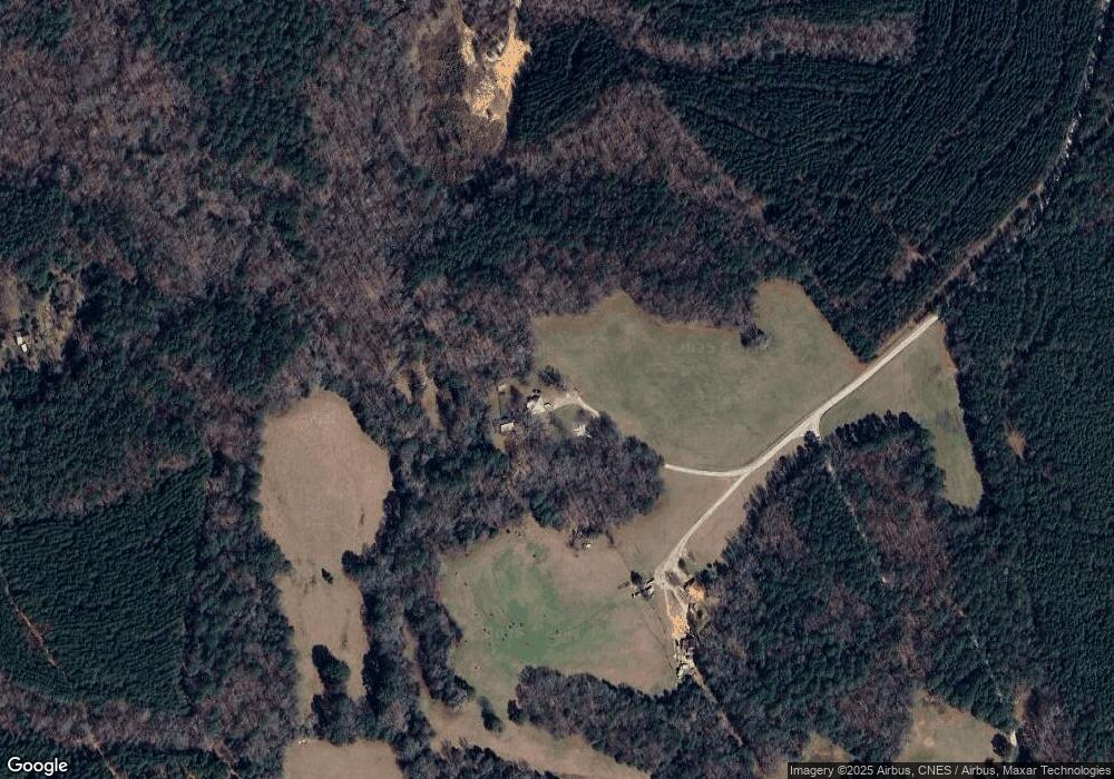
Map
Nearby Homes
- 00 Crook Rd
- LOT3 Hephzibah Church Rd
- LOT2 Hephzibah Church Rd
- LOT5 Hephzibah Church Rd
- LOT4 Hephzibah Church Rd
- 2534 Georgia 220
- 0 Hephzibah Church Rd
- 0 Hwy 220 Tract A
- 1987 Crook Rd
- 0 Ga-220 Unit 541923
- 0 Crook Rd Unit 10643680
- 1312 Amity-Woodlawn Rd
- 000 Georgia 220
- 0 Georgia 220 Unit TRACT B 10468309
- 0 Georgia 220 Unit TRACT A 10468318
- C E Norman Rd
- 1460 Leathersville Rd
- 0 C E Norman Rd Unit 10612648
- 1960 White Rock Rd
- 280 May Ave
- 3526 Hephzibah Church Rd
- 3182 Long Rd
- 1961 Loco Church Rd
- 1967 Loco Church Rd
- 2899 Crook Rd
- 2897 Crook Rd
- T3 Loco Church Rd
- 2802 Crook Rd
- 3544 Hephzibah Church Rd
- 3380 Hephzibah Church Rd
- 1734 Ferguson Justice Rd
- 3401 Hephzibah Church Rd
- 3347 Hephzibah Church Rd
- 1205 Ferguson Justice Rd
- 1743 Ferguson Justice Rd
- 0 Ferguson Justice Rd Unit 422469
- 1161 Ferguson Justice Rd
- 2112 Loco Church Rd
- 2776 Crook Rd