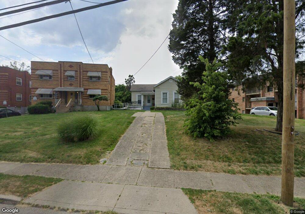
3087 Mchenry Ave Cincinnati, OH 45211
Westwood NeighborhoodEstimated Value: $102,369 - $124,000
2
Beds
1
Bath
883
Sq Ft
$128/Sq Ft
Est. Value
About This Home
This home is located at 3087 Mchenry Ave, Cincinnati, OH 45211 and is currently estimated at $112,842, approximately $127 per square foot. 3087 Mchenry Ave is a home located in Hamilton County with nearby schools including Western Hills High School, Gilbert A. Dater High School, and Robert A. Taft Information Technology High School.
Ownership History
Date
Name
Owned For
Owner Type
Purchase Details
Closed on
May 5, 1994
Sold by
Cincinnati Housing Partners
Bought by
Hampton Allene
Current Estimated Value
Home Financials for this Owner
Home Financials are based on the most recent Mortgage that was taken out on this home.
Original Mortgage
$39,000
Interest Rate
7.88%
Create a Home Valuation Report for This Property
The Home Valuation Report is an in-depth analysis detailing your home's value as well as a comparison with similar homes in the area
Home Values in the Area
Average Home Value in this Area
Purchase History
| Date | Buyer | Sale Price | Title Company |
|---|---|---|---|
| Hampton Allene | -- | -- |
Source: Public Records
Mortgage History
| Date | Status | Borrower | Loan Amount |
|---|---|---|---|
| Closed | Hampton Allene | $39,000 |
Source: Public Records
Tax History
| Year | Tax Paid | Tax Assessment Tax Assessment Total Assessment is a certain percentage of the fair market value that is determined by local assessors to be the total taxable value of land and additions on the property. | Land | Improvement |
|---|---|---|---|---|
| 2025 | $518 | $18,375 | $7,798 | $10,577 |
| 2023 | $976 | $25,053 | $7,798 | $17,255 |
| 2022 | $334 | $13,542 | $6,815 | $6,727 |
| 2021 | $305 | $13,542 | $6,815 | $6,727 |
| 2020 | $330 | $13,542 | $6,815 | $6,727 |
| 2019 | $266 | $12,310 | $6,195 | $6,115 |
| 2018 | $267 | $12,310 | $6,195 | $6,115 |
| 2017 | $245 | $12,310 | $6,195 | $6,115 |
| 2016 | $383 | $14,308 | $7,903 | $6,405 |
| 2015 | $353 | $14,308 | $7,903 | $6,405 |
| 2014 | $357 | $14,308 | $7,903 | $6,405 |
| 2013 | $444 | $15,551 | $8,589 | $6,962 |
Source: Public Records
Map
Nearby Homes
- 3116 Gobel Ave
- 3162 Sunshine Ave
- 3041 Westknolls Ln
- 3069 Bracken Woods Ln
- 3073 Bracken Woods Ln
- 2668 Shaffer Ave
- 2424 Westwood Northern Blvd
- 3328 Brodbeck Place
- 2962 Aquadale Ln
- 2525 Millennium Place
- 2942 Woodrow Ave
- 3312 Mchenry Ave
- 3295 Fyffe Ave
- 2635 Ocosta Ave
- 2655 Harrison Ave
- 3404 Millrich Ave
- 2720 Mckinley Ave
- 2257 Harrison Ave
- 2752 Mckinley Ave
- 2507 Forthmann Place
- 3069 Mchenry Ave
- 3089 Mchenry Ave Unit 7
- 3089-3099 Mchenry
- 3091-3097 Mchenry Ave
- 3061 Mchenry Ave
- 3056 Mchenry Ave
- 3051 Mchenry Ave
- 3060 Mchenry Ave
- 3049 Mchenry Ave
- 3056 Worthington Ave
- 3052 Worthington Ave
- 3050 Worthington Ave
- 3054 Mchenry Ave
- 3060 Worthington Ave
- 3048 Worthington Ave
- 3047 Mchenry Ave
- 3044 Worthington Ave
- 3068 Worthington Ave
- 3100 Mchenry Ave
- 3040 Worthington Ave
Your Personal Tour Guide
Ask me questions while you tour the home.