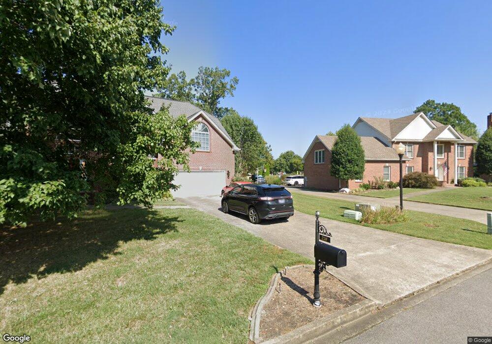
3089 Old Sango Rd Clarksville, TN 37043
Estimated Value: $351,000 - $485,000
--
Bed
1
Bath
1,824
Sq Ft
$221/Sq Ft
Est. Value
About This Home
This home is located at 3089 Old Sango Rd, Clarksville, TN 37043 and is currently estimated at $402,283, approximately $220 per square foot. 3089 Old Sango Rd is a home located in Montgomery County with nearby schools including Sango Elementary School, Richview Middle School, and Clarksville High School.
Ownership History
Date
Name
Owned For
Owner Type
Purchase Details
Closed on
Aug 24, 2018
Sold by
Lingauer Joseph Kyle
Bought by
Appleton-Lingau Jana Grace
Current Estimated Value
Purchase Details
Closed on
Sep 7, 2012
Sold by
Appleton Steven B
Bought by
Lingauer Jana Grace Appleton and Lingauer Joseph Kyle
Purchase Details
Closed on
Apr 14, 1997
Sold by
Jenkins Porter W
Bought by
Blankenship Ruby W
Purchase Details
Closed on
Mar 7, 1997
Sold by
Atkins Dorris L
Bought by
Jenkins Porter W
Purchase Details
Closed on
Jan 14, 1997
Sold by
Jenkins L W
Bought by
Atkins Dorris L
Create a Home Valuation Report for This Property
The Home Valuation Report is an in-depth analysis detailing your home's value as well as a comparison with similar homes in the area
Home Values in the Area
Average Home Value in this Area
Purchase History
| Date | Buyer | Sale Price | Title Company |
|---|---|---|---|
| Appleton-Lingau Jana Grace | -- | -- | |
| Lingauer Jana Grace Appleton | -- | -- | |
| Blankenship Ruby W | -- | -- | |
| Jenkins Porter W | -- | -- | |
| Blankenship Ruby W | $11,150 | -- | |
| Atkins Dorris L | $10,000 | -- |
Source: Public Records
Tax History Compared to Growth
Tax History
| Year | Tax Paid | Tax Assessment Tax Assessment Total Assessment is a certain percentage of the fair market value that is determined by local assessors to be the total taxable value of land and additions on the property. | Land | Improvement |
|---|---|---|---|---|
| 2024 | $1,779 | $84,700 | $0 | $0 |
| 2023 | $1,779 | $52,650 | $0 | $0 |
| 2022 | $1,574 | $52,650 | $0 | $0 |
| 2021 | $1,574 | $52,650 | $0 | $0 |
| 2020 | $1,574 | $52,650 | $0 | $0 |
| 2019 | $1,574 | $52,650 | $0 | $0 |
| 2018 | $1,327 | $31,875 | $0 | $0 |
| 2017 | $1,327 | $43,225 | $0 | $0 |
| 2016 | $1,168 | $43,225 | $0 | $0 |
| 2015 | $808 | $27,150 | $0 | $0 |
| 2014 | $808 | $27,150 | $0 | $0 |
| 2013 | $1,051 | $33,475 | $0 | $0 |
Source: Public Records
Map
Nearby Homes
- 127 Copperstone Dr
- 148 Copperstone Dr
- 152 Copperstone Dr
- 268 Avignon Way
- 175 Copperstone Dr
- 341 Turnberry Cir
- 306 Gray Hawk Trail
- 319 Turnberry Cir
- 265 Gray Hawk Trail
- 187 Dundee Dr
- 182 Dundee Dr
- 3198 Gray Hawk Ct
- 405 Carriage Ct
- 0 Guthrie Rd Unit RTC3003628
- 156 Matheson Dr
- 159 Matheson Dr
- 2836 Trelawny Dr
- 188 Whitman Alley
- 428 Treemont Dr
- 1409 Hereford Blvd
- 232 Avignon Way
- 251 Harrowgate Dr
- 236 Avignon Way
- 228 Avignon Way
- 250 Harrowgate Dr
- 255 Harrowgate Dr
- 131 Copperstone Dr
- 23 Copperstone Dr
- 300 Bryson Ln
- 62 Copperstone
- 224 Avignon Way
- 123 Copperstone Dr
- 240 Avignon Way
- 21 Copperstone
- 135 Copperstone Dr
- 254 Harrowgate Dr
- 259 Harrowgate Dr
- 304 Bryson Ln
- 26 Lot Copperstone
- 229 Avignon Way